How I’d Survey Mountain Vineyards with the Mini 5 Pro Withou
How I’d Survey Mountain Vineyards with the Mini 5 Pro Without Running Into the Summer Airspace Problem
META: A practical Mini 5 Pro tutorial for surveying mountain vineyards, with workflow tips on obstacle avoidance, ActiveTrack, D-Log, and how changing FAA restriction pressure around crowded attractions affects flight planning.
Mountain vineyards look cinematic from the ground. From the air, they become readable.
Terrace lines reveal drainage behavior. Gaps in canopy density stand out. Erosion scars that are easy to miss on foot start announcing themselves. But anyone who has actually tried to survey vineyards in mountain terrain knows the hard part is not getting pretty footage. It is getting usable data while managing wind, elevation changes, tree lines, cable hazards, and the kind of airspace uncertainty that can quietly ruin a day’s plan.
I’ve had mornings where the light was perfect, the vines were clean, and the route was mapped, only to discover that the surrounding operational environment had changed. That matters more now than many pilots realize. A recent industry development reported by DroneLife on April 21, 2026 highlighted amusement parks pushing the FAA for drone flight restrictions before summer because of unauthorized UAV overflights above crowded attractions. Even from a vineyard operator’s perspective, that is not some unrelated headline. It signals a broader shift: seasonal pressure around public safety is influencing how access to airspace may be managed near high-traffic destinations and tourist corridors.
For mountain vineyards, especially those near scenic leisure areas, that changes how I’d approach a Mini 5 Pro survey mission.
This article is the workflow I’d use.
Why that summer restriction story matters to a vineyard pilot
A lot of vineyard sites in mountain regions sit near tourism economies. Wine trails, resorts, seasonal attractions, event venues, and family destinations often share the same valleys and ridge systems. If attraction operators are actively seeking FAA restrictions ahead of summer crowds, a survey pilot cannot assume that yesterday’s flyable route will still be clean next month.
The operational significance is straightforward.
First, summer crowd protection concerns are driving calls for tighter drone controls. That means route checks become part of mission prep, not a formality. If your vineyard sits along a tourist road or near a destination area where unauthorized overflights have become a concern, your legal operating window may narrow with little warning.
Second, the timing matters. The DroneLife item specifically tied the issue to the period before summer vacation season, which is exactly when many growers want regular visual records of canopy development, irrigation performance, and access-road condition. In other words, the reporting window for vineyard health may increasingly overlap with the period when local airspace sensitivity rises.
That is why my Mini 5 Pro approach starts on the ground.
Step 1: Check the airspace before you pack batteries
When I’m surveying a mountain vineyard, I do not begin with camera settings. I begin with boundaries.
If the property is anywhere near a tourist attraction, amusement zone, seasonal event site, or any venue that draws heavy summer foot traffic, I want to verify the current status of the surrounding airspace on the day of operation. The DroneLife report points to a practical lesson: unauthorized flights over crowded places are pushing stakeholders to seek more protection. Whether or not a formal restriction is already in place, that pressure can influence local operational scrutiny.
For a vineyard survey, this affects three things:
Launch location
A convenient launch point near a public road may be a terrible choice if it places your aircraft path closer to sensitive areas.Transit path
The shortest line to your survey block may cross space that attracts public attention or concern.Scheduling
Dawn flights often solve more than lighting problems. They also reduce conflict with tourist movement, traffic buildup, and site complaints.
This is especially relevant in mountain terrain because valleys funnel both aircraft movement and public activity. A route that looks isolated on a map can feel much less isolated once hiking traffic, scenic overlooks, and roadside pull-offs fill up.
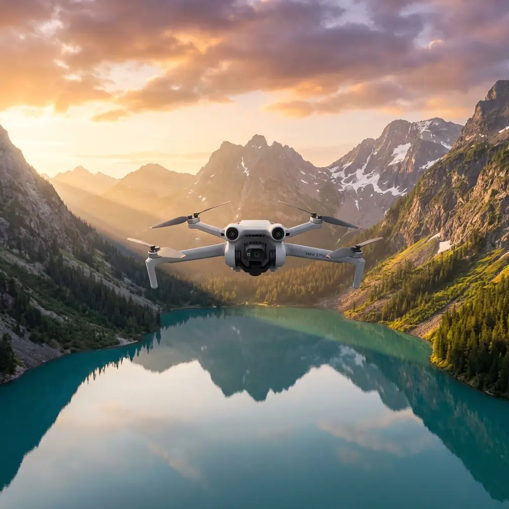
Step 2: Use the Mini 5 Pro like a survey tool, not just a camera drone
The Mini 5 Pro earns its keep in vineyards when you stop treating it like a travel gadget.
Mountain vineyards create constant altitude changes and visual clutter. Vine rows may run across steep gradients. Tree margins can close in quickly. Support wires, utility lines, and slope breaks make manual flying more tiring than most pilots expect. That is where obstacle avoidance becomes more than a comfort feature. In this setting, it preserves consistency.
When I used older methods on hillside sites, I spent too much attention budget simply keeping the aircraft safe while trying to maintain repeatable passes. That split focus usually reduced the quality of the inspection itself. With stronger obstacle sensing in play, the drone can help absorb part of the terrain-management burden so the pilot can focus on row coverage, overlap, and anomalies.
Operationally, this matters because vineyard surveying is repetitive by design. You are looking for patterns and exceptions. If your flight path is uneven because you are hand-correcting every few seconds around trees or contour changes, your footage becomes harder to compare over time.
So I’d configure the mission around three capture modes.
A. Straight inspection passes for row analysis
This is the backbone.
Fly along the rows or across them, depending on what you need to evaluate. Along-row passes are better for identifying localized canopy variation and missing vine sections. Cross-row passes make terrace geometry and drainage lines easier to read.
The Mini 5 Pro’s compact footprint helps here because mountain vineyard access points are often cramped. You may be launching from a service lane, a turnout, or a narrow terrace edge. A smaller aircraft is simply easier to deploy safely in those conditions.
B. ActiveTrack for moving vehicle support
I do not use ActiveTrack as a gimmick. I use it when a vineyard manager or field truck is moving through the property and I want contextual footage tied to specific blocks. For example, if the manager is checking irrigation valves or erosion at multiple terrace levels, ActiveTrack can create a visual record of route-based observations without forcing the pilot to juggle both framing and terrain at once.
That has real value later. Instead of reviewing random notes tied to block numbers, you get a synchronized visual narrative of what was actually inspected and in what sequence.
In mountain environments, that can save time because returning to the same slope later is not always easy.
C. Hyperlapse or interval-based visual progression
Hyperlapse is not just for pretty vineyard promos. Used carefully, it can illustrate fog lift, shadow movement, or changing visibility across slopes during early-morning operations. Those changes affect how accurately you can assess canopy consistency and surface moisture clues.
I would not rely on Hyperlapse as the core survey record, but it is useful for understanding environmental context, especially in locations where mountain weather changes minute to minute.
Step 3: Set your camera profile for analysis, not social posting
This is where many vineyard drone flights go sideways. The pilot captures attractive footage but makes post-review harder than necessary.
If the Mini 5 Pro offers D-Log, I’d use it when the goal is serious review. Mountain vineyards often present brutal dynamic range: bright sky, reflective rock, dark tree margins, and unevenly lit rows. Standard profiles can clip highlights or crush shadow detail in ways that hide subtle plant stress cues and surface features.
D-Log gives you more room to normalize those extremes in post.
Why that matters operationally:
- Canopy variation becomes easier to compare across blocks shot under shifting light.
- Slope washout and erosion traces are easier to isolate when highlights are not blown.
- Road and drainage condition reads more clearly when you preserve shadow detail around terrace edges.
If the job is a quick scouting pass for same-day decision-making, I might also capture a simpler profile for immediate review on-site. But for season-to-season comparisons, I want the most flexible master files I can get.
Step 4: Build a repeatable route that respects mountain airflow
No feature on the aircraft excuses bad route design.
Mountain vineyards generate rotor turbulence around ridgelines, tree barriers, and retaining walls. The Mini 5 Pro may be capable and stable, but I still plan with the assumption that the aircraft will encounter uneven air in transitions between open terraces and sheltered corridors.
Here is the route logic I use:
- Start on the lower or more protected section of the vineyard while wind is calmer.
- Move to exposed upper terraces only after the core dataset is already captured.
- Avoid fast lateral movements near tree lines where depth perception gets tricky.
- Keep each pass intentional. Survey flights become messy when you improvise.
This is also where QuickShots can be useful, but only selectively. I would not use them as inspection capture. I would use them at the end, once the survey is complete, to create concise overview clips for vineyard owners, agronomists, or stakeholders who need an accessible visual summary. A short automated reveal or orbit can communicate terrain complexity far faster than static maps to non-pilots.
That is a communication advantage, not just a creative one.
Step 5: Use subject tracking to document field interventions
The LSI crowd loves to mention subject tracking, but in vineyard work the useful case is simple: tracking a worker, ATV, or utility vehicle as it moves to a trouble spot.
Say a manager identifies runoff damage after a storm. Instead of filming a disconnected sequence of wide shots and close-ups, you can use tracking to document the approach path, the terrain context, and the exact point of intervention in one coherent record.
On steep sites, this can make the review far more meaningful. It shows not just what the problem is, but how accessible it is and what surrounding terrain may have contributed.
Step 6: Plan around public sensitivity, not just legal minimums
The DroneLife report about amusement parks pushing for restrictions due to unauthorized overflights above summer crowds points to a wider operational reality: the public has little patience for unexplained drones over recreation-heavy spaces.
If your mountain vineyard borders a tasting venue, event lawn, scenic attraction, or family recreation area, legal compliance alone is not enough. You also want to avoid creating the appearance of recreational overflight near people.
That changes mission design.
I’d keep the aircraft tightly over the agricultural footprint whenever possible. I’d avoid transitional arcs that drift toward public gathering areas. I’d also communicate clearly with the property team so anyone onsite can explain the flight’s agricultural purpose if guests ask.
This matters because one complaint can trigger scrutiny that affects future operations, even if your current flight is lawful and controlled.
Step 7: My preferred post-flight review workflow
Once the Mini 5 Pro is back on the ground, I sort footage into three buckets:
Analytical passes
Straight row or cross-row clips used for identifying canopy inconsistency, water flow, road damage, and access issues.Context clips
ActiveTrack or subject-tracking footage tied to a manager walkthrough, vehicle route, or field intervention.Communication assets
QuickShots, Hyperlapse sequences, and broad scenic overviews for reporting and stakeholder updates.
That separation keeps the survey from drowning in its own media. Beautiful footage is easy to collect in vineyards. Useful footage requires discipline.
If you are comparing blocks over multiple dates, label by slope, elevation band, and sun condition. Mountain vineyards can look dramatically different depending on time of day. Without that context, your archive becomes harder to trust.
The mistake I’d avoid with the Mini 5 Pro
I would not let the drone’s ease of use tempt me into casual flying near adjacent attractions or crowd-heavy summer spaces.
That is the key lesson I take from the April 2026 reporting. Operators of attractions are not merely annoyed by drones; they are actively seeking FAA restrictions to protect crowds from unauthorized overflights. Whether you fly vineyards, orchards, or mountain estates, that trend means professional operators should tighten their planning standards now.
The smarter play is to be visibly disciplined:
- document airspace checks,
- keep routes property-focused,
- fly at low-traffic times,
- and maintain a clear agricultural mission profile.
That protects both the operation and the reputation of commercial drone work more broadly.
Final field checklist for a mountain vineyard survey with Mini 5 Pro
Before launch, I’d confirm:
- current airspace status and any seasonal restrictions nearby,
- wind pattern by terrace level,
- a route that stays clear of public gathering zones,
- camera profile set to D-Log if post-analysis is a priority,
- obstacle avoidance active for tight terrain transitions,
- ActiveTrack or subject tracking reserved for manager walkthroughs or vehicle-based documentation,
- QuickShots left for end-of-mission summaries, not core inspection.
If you’re working through a similar route-planning problem and want to compare field setups, I’d use this direct line for a practical conversation: message here.
The Mini 5 Pro is not magic. On a mountain vineyard, nothing is. But in a workflow built around repeatability, terrain awareness, and smarter airspace discipline, it becomes a very capable survey partner—especially when the operational landscape around tourism and summer crowd protection is getting stricter.
Ready for your own Mini 5 Pro? Contact our team for expert consultation.