Mini 5 Pro Surveying Tips for Coastal Solar Farms
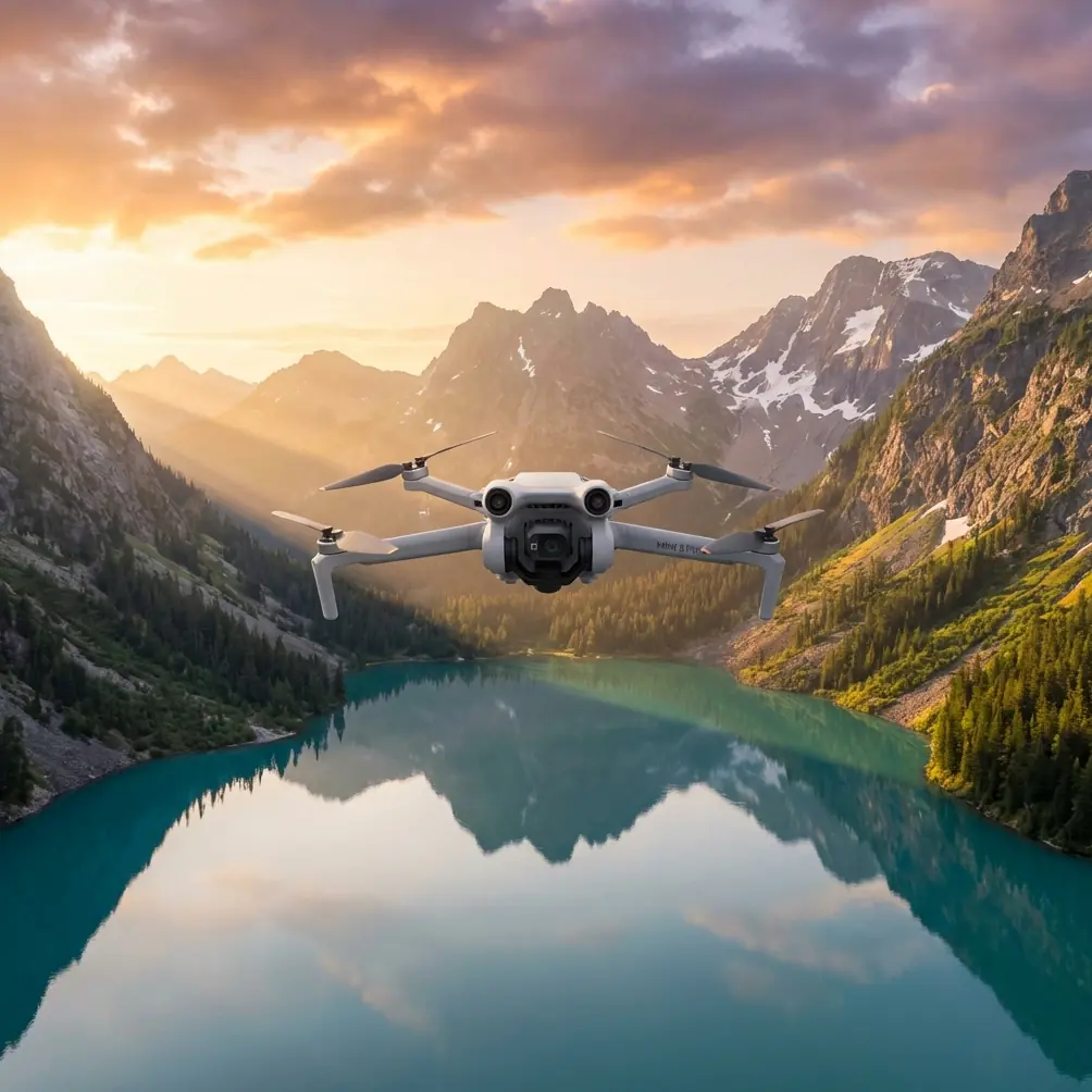
Mini 5 Pro Surveying Tips for Coastal Solar Farms
META: Master coastal solar farm surveys with Mini 5 Pro. Learn expert techniques for obstacle avoidance, D-Log capture, and efficient panel inspection workflows.
TL;DR
- Obstacle avoidance sensors prove essential when wildlife unexpectedly enters your survey path over coastal solar installations
- D-Log color profile captures critical shadow and corrosion data that standard profiles miss on reflective panels
- Hyperlapse mode creates compelling time-based documentation showing panel degradation patterns across seasons
- ActiveTrack maintains consistent altitude and distance while following irregular coastal array configurations
Coastal solar farm surveys present unique challenges that inland installations never face. Salt spray corrosion, unpredictable wildlife, and rapidly shifting weather windows demand a drone platform built for adaptability. The Mini 5 Pro addresses these specific pain points with a sensor suite and flight characteristics that transform chaotic coastal conditions into manageable survey missions.
This guide delivers field-tested techniques for maximizing your Mini 5 Pro's capabilities across coastal solar installations—from pre-flight configuration to post-processing workflows that catch defects other operators miss.
Why Coastal Solar Farms Demand Specialized Survey Approaches
Coastal environments attack solar infrastructure relentlessly. Salt-laden air accelerates corrosion on mounting hardware. Sand infiltrates junction boxes. Humidity creates micro-condensation that standard thermal imaging struggles to differentiate from actual hotspots.
The Mini 5 Pro's sub-249g weight class becomes strategically valuable here. Many coastal zones fall under restricted airspace near ports, military installations, or wildlife preserves. Lighter regulatory requirements for sub-250g aircraft often mean faster authorization and more flexible flight windows.
The Corrosion Detection Challenge
Standard RGB surveys miss early-stage corrosion that costs operators thousands in premature replacements. The Mini 5 Pro's 1/1.3-inch CMOS sensor captures subtle color variations in mounting hardware and frame edges that indicate oxidation months before visible degradation appears.
Shooting in D-Log color profile preserves this critical shadow detail. The flat color profile retains approximately 12.6 stops of dynamic range, allowing post-processing adjustments that reveal corrosion patterns invisible in standard color modes.
Expert Insight: Schedule coastal surveys during overcast conditions when possible. Direct sunlight creates harsh reflections on panel surfaces that overwhelm sensor data. Cloud cover acts as a natural diffuser, revealing surface anomalies that bright conditions mask.
Configuring Obstacle Avoidance for Coastal Wildlife Encounters
Last month's survey of a 47-acre installation near Wilmington demonstrated why obstacle avoidance isn't optional for coastal work. Midway through a systematic grid pattern at 15 meters AGL, a brown pelican dove directly into the flight path while pursuing fish in an adjacent retention pond.
The Mini 5 Pro's omnidirectional obstacle sensing detected the bird at approximately 12 meters and executed an automatic hover-and-wait maneuver. The pelican passed within 3 meters of the aircraft. Without active obstacle avoidance, that survey would have ended with a downed drone and corrupted data.
Recommended Obstacle Avoidance Settings for Solar Surveys
Configure your obstacle avoidance system specifically for the solar farm environment:
- Horizontal obstacle detection: Set to Brake mode rather than Bypass to prevent automatic course corrections that disrupt survey grid accuracy
- Downward sensing: Enable at all times—solar panel surfaces create deceptive altitude readings
- APAS 5.0 sensitivity: Set to High in areas with known bird activity
- Return-to-home obstacle avoidance: Always enabled with altitude set 20 meters above highest obstruction
Wildlife Patterns to Monitor
Coastal solar installations attract specific wildlife that creates predictable hazards:
- Wading birds congregate near retention ponds and drainage channels between array sections
- Raptors use elevated panel structures as hunting perches and may investigate drones as territorial threats
- Seabirds follow unpredictable flight paths, especially during feeding frenzies
- Insects swarm near warm panel surfaces and can trigger false obstacle readings in dense concentrations
Mastering Subject Tracking for Irregular Array Configurations
Coastal installations rarely follow perfect rectangular layouts. Property boundaries, wetland setbacks, and existing infrastructure create irregular array shapes that challenge systematic survey approaches.
ActiveTrack transforms these complex geometries into manageable survey targets. Rather than programming elaborate waypoint missions, operators can designate array sections as tracking subjects and let the Mini 5 Pro maintain consistent framing while navigating irregular boundaries.
ActiveTrack Configuration for Panel Inspection
The system works best with specific parameter adjustments:
| Parameter | Standard Setting | Solar Survey Setting |
|---|---|---|
| Tracking sensitivity | Medium | Low |
| Subject size | Auto | Large |
| Gimbal behavior | Follow | Fixed pitch |
| Speed limit | Auto | 4 m/s maximum |
| Obstacle response | Bypass | Brake |
Lower tracking sensitivity prevents the system from losing lock when panel reflections create visual noise. Fixed gimbal pitch maintains consistent nadir or oblique angles regardless of aircraft movement.
Pro Tip: Create virtual tracking subjects by placing high-visibility markers at array corners. The Mini 5 Pro tracks these markers while you focus on image capture, eliminating the cognitive load of simultaneous flight control and camera operation.
QuickShots for Stakeholder Documentation
Technical survey data serves engineering teams. Stakeholder presentations require different content. QuickShots automated flight modes generate professional documentation footage without interrupting systematic survey workflows.
Recommended QuickShots Sequences for Solar Farms
Dronie: Position over array center, execute at 50-meter distance. Creates establishing shot showing installation scale and coastal context.
Circle: Select central inverter station as point of interest. 30-meter radius at 15-meter altitude produces comprehensive infrastructure overview.
Helix: Combine ascending spiral with array perimeter. Demonstrates installation integration with surrounding landscape.
Rocket: Vertical ascent from ground level reveals row-by-row panel arrangement. Effective for showing maintenance access paths.
Each QuickShots sequence requires approximately 45-90 seconds. Schedule these between systematic survey passes to maximize flight time efficiency.
Hyperlapse for Long-Term Degradation Monitoring
Single-point surveys capture current conditions. Hyperlapse documentation creates temporal baselines that reveal degradation patterns invisible in isolated inspections.
The Mini 5 Pro's Free mode Hyperlapse allows custom flight paths that repeat across multiple survey dates. Consistent start points, altitudes, and camera angles produce time-compressed sequences showing:
- Vegetation encroachment on array perimeters
- Seasonal soiling pattern variations
- Progressive mounting hardware degradation
- Drainage system performance during weather events
Hyperlapse Technical Settings
Configure for maximum analytical value:
- Interval: 2 seconds for smooth motion, 5 seconds for extended coverage
- Duration: Minimum 10 seconds output for meaningful pattern visibility
- Resolution: 4K minimum for crop flexibility in post-processing
- Color profile: D-Log for consistent grading across sessions
Common Mistakes to Avoid
Flying during peak sun angles: Solar panels become mirrors between 10 AM and 2 PM. Reflections overwhelm sensors and create unusable hotspot data. Schedule surveys for early morning or late afternoon when sun angles exceed 40 degrees from perpendicular.
Ignoring salt spray accumulation: Coastal air deposits salt residue on camera lenses and obstacle sensors within 2-3 flights. Clean all optical surfaces with distilled water and microfiber cloths before each survey day.
Underestimating wind acceleration: Coastal terrain creates wind acceleration zones where airflow compresses between structures or over berms. The Mini 5 Pro handles 10.7 m/s winds in specifications, but localized gusts near panel edges can exceed this significantly.
Neglecting battery temperature: Coastal humidity combined with battery discharge heat creates condensation risks. Allow batteries to reach ambient temperature before flight and avoid rapid charging cycles that generate excess heat.
Skipping pre-flight compass calibration: Coastal installations often include significant underground electrical infrastructure that affects magnetic readings. Calibrate compass at each new survey location, away from inverter stations and buried conduit runs.
Frequently Asked Questions
How does the Mini 5 Pro's obstacle avoidance perform around highly reflective solar panels?
The omnidirectional sensing system uses multiple sensor types including infrared and visual cameras. While individual sensors may receive confusing data from reflective surfaces, the sensor fusion algorithm cross-references inputs to maintain accurate obstacle detection. Flying at 10+ meters AGL provides sufficient margin for the system to distinguish actual obstacles from reflection artifacts.
What flight altitude optimizes panel defect detection while maintaining efficient coverage?
12-15 meters AGL balances resolution requirements against coverage efficiency for most coastal installations. This altitude produces approximately 2.5 cm/pixel ground sampling distance with the standard lens—sufficient for identifying cracked cells, junction box anomalies, and mounting hardware issues. Lower altitudes increase resolution but proportionally extend survey duration.
Can the Mini 5 Pro's D-Log profile capture useful thermal data for hotspot identification?
D-Log captures visible spectrum data only. However, the extended dynamic range reveals temperature-related color shifts that correlate with thermal anomalies. Overheating cells often display subtle yellowing or browning visible in D-Log footage that standard profiles clip to uniform appearance. This approach supplements rather than replaces dedicated thermal imaging but provides valuable screening data for prioritizing thermal follow-up.
Coastal solar farm surveys demand equipment and techniques calibrated for harsh, unpredictable conditions. The Mini 5 Pro's combination of advanced obstacle avoidance, flexible tracking modes, and professional imaging capabilities addresses these challenges without the regulatory complexity of heavier platforms.
Mastering these workflows transforms coastal survey operations from weather-dependent gambles into reliable, repeatable processes that deliver actionable data regardless of what wildlife, weather, or terrain conditions present.
Ready for your own Mini 5 Pro? Contact our team for expert consultation.