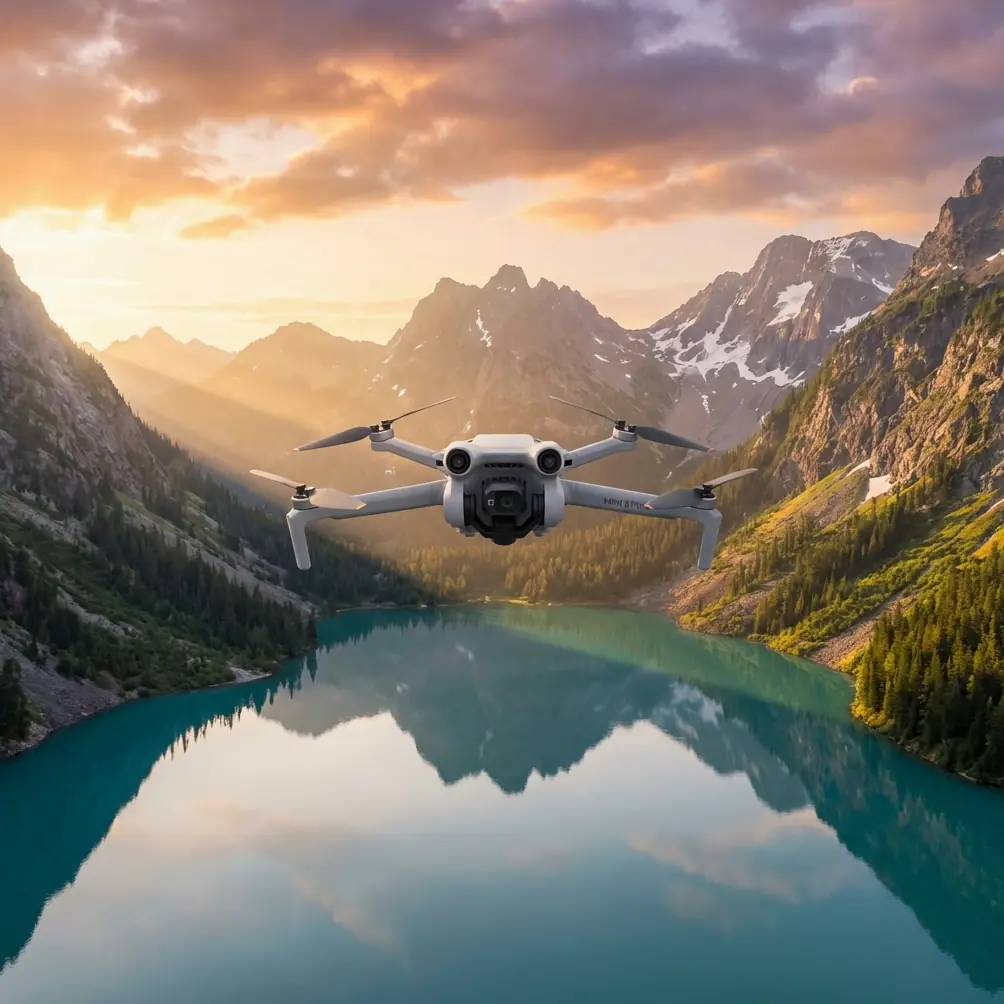
Mini 5 Pro for Highway Surveying in Complex Terrain
Mini 5 Pro for Highway Surveying in Complex Terrain: A Technical Review from the Field
META: A technical review of how the Mini 5 Pro can support highway surveying in complex terrain, with practical insight on obstacle avoidance, ActiveTrack, D-Log workflows, and a critical pre-flight cleaning routine.
Highway surveying sounds straightforward until the road starts folding through cuts, embankments, bridges, tree lines, utility crossings, and uneven slopes. That is where a compact drone either proves its value or becomes a liability. For operators looking at the Mini 5 Pro as a field tool rather than a weekend flyer, the real question is not whether it can get airborne. It is whether it can produce dependable visual data in tight, irregular corridors where terrain and roadside structures constantly interfere with clean flight paths.
I approach this from a photographer’s perspective, but one shaped by practical field demands. When you are documenting a highway alignment through complex terrain, image quality matters, yes. So do consistency, repeatability, obstacle sensing reliability, and how quickly you can reposition for another pass before the light changes or traffic conditions shift. The Mini 5 Pro, as a concept and workflow platform, makes the most sense when judged against those realities.
The strongest argument for using a lightweight aircraft on highway work is not convenience alone. It is access. On many road corridors, especially those running through hillsides or broken topography, a larger drone can feel cumbersome. Launch space may be limited. Pull-off areas may be narrow. Wind exposure changes from one bend to the next. A smaller platform can often be deployed faster and with less logistical friction. That matters when a survey team needs frequent short flights to inspect drainage paths, retaining structures, lane-edge conditions, or slope transitions rather than one long cinematic mission.
That said, compact size only helps if the aircraft’s sensing and stabilization stack can keep up. For this use case, obstacle avoidance is not a luxury feature. It is a safety system that directly affects mission confidence. Highway corridors are cluttered in ways that can fool even experienced pilots: sign gantries, poles, bare branches, cable runs, sound barriers, and abrupt elevation shifts. If you are side-tracking a road edge or creeping along a curved section near a cut slope, even a minor error in spacing can escalate quickly. Reliable obstacle sensing gives the pilot more margin, especially when maintaining framing while moving laterally or when adjusting height over uneven ground.
There is one overlooked point here, and it deserves emphasis: those sensors are only as trustworthy as their condition on takeoff. Before every survey flight, I recommend a deliberate cleaning step focused on the vision sensors and camera glass. Not a casual wipe with the corner of a shirt. A proper check. Dust, fine road grit, moisture haze, bug residue, and fingerprints can degrade obstacle detection and image clarity in subtle ways that do not always trigger obvious warnings. On a highway project, where traffic dust and airborne debris are common, that contamination builds up faster than many pilots expect. A clean sensor suite can be the difference between smooth terrain-following confidence and a false read near a roadside object.
This pre-flight habit is especially valuable in complex terrain because obstacle avoidance data is already working harder. The aircraft may be trying to interpret shadow transitions, textured rock faces, vegetation movement, and narrow vertical features all within the same segment of flight. If the optics are compromised, the pilot is adding uncertainty at the exact moment precision matters most. Cleaning takes a minute or two. Recovering from bad detection logic or missed visual detail costs much more.
For survey support work, I would not frame ActiveTrack and subject tracking as headline features in the usual consumer sense. Nobody is chasing a cyclist for social content here. Their usefulness is more technical. When applied carefully, tracking tools can help maintain a consistent relationship to a moving inspection vehicle or a slowly advancing corridor walk, which can be useful for documenting sequential surface conditions, shoulder degradation, or drainage issues along a route. The operational significance is consistency. Instead of manually correcting yaw, pitch, and lateral position every few seconds, the pilot can preserve steadier framing and pay more attention to terrain, airspace, and route hazards.
That does not mean automation should take over. Highway corridors present enough ambiguity that manual oversight remains essential. A road can dip under a bridge, flare into a wider shoulder, or run alongside reflective guardrail and mixed vegetation that complicate automated interpretation. Used with judgment, ActiveTrack becomes a support layer, not a substitute for pilot skill. That distinction matters if the drone is being used to gather inspection-grade visual references rather than promotional footage.
QuickShots and Hyperlapse may seem less relevant to surveying, but dismissing them entirely would be a mistake. They are not primary capture modes for technical mapping or formal measurement workflows. They are, however, valuable for context. QuickShots can create fast, repeatable overview perspectives that help engineers, planners, or project stakeholders understand how a trouble spot sits within the larger corridor. A short automated reveal of a retaining wall, culvert approach, or interchange segment can communicate terrain relationships more clearly than a set of disconnected stills. Hyperlapse, meanwhile, can document changing traffic flow, staged work-zone development, or weather movement over a corridor in a way that exposes patterns a static image cannot.
The key is knowing where these features fit. They are interpretation tools, not substitutes for disciplined survey capture. When used selectively, they add narrative structure to technical documentation. That can be surprisingly useful when teams need to brief non-pilots or decision-makers who are not going to parse raw flight logs and grids.
Image profile also deserves more attention than it usually gets in discussions around small drones. D-Log is one of those features that sounds niche until you are trying to make footage from a bright concrete road, dark cut slope, reflective vehicles, and shaded tree cover coexist in one coherent sequence. Highway environments often contain harsh contrast. Midday sun on pavement can push highlights hard, while embankments and underpasses drop quickly into shadow. A flatter capture profile such as D-Log gives more room to recover tonal detail during post-processing. That operational significance is straightforward: better tonal control makes it easier to evaluate surface condition, material edges, drainage staining, vegetation encroachment, and structural detail without the image falling apart in either highlights or shadows.
For a photographer, that flexibility is not abstract. It affects whether footage can support analysis after the fact. If a guardrail connection disappears into blocked shadow or pale concrete clips beyond useful texture, the flight may need to be repeated. On active road corridors, repeat flights are not always easy. Getting a more elastic file the first time is a practical advantage.
Complex terrain also changes how I think about route planning for a Mini 5 Pro mission. On open ground, the temptation is to fly direct. Over highways in broken topography, segmented planning is smarter. Break the corridor into shorter sections. Identify elevation changes. Mark bridge approaches, tree-canopy pinch points, and roadside structures. Then set conservative passes that preserve line of sight and avoid forcing the aircraft into abrupt climbs over unknown clearance margins. Smaller drones reward discipline. They are agile, but agility should not be confused with invulnerability.
That is another reason the Mini 5 Pro concept works best when paired with a methodical workflow. Pre-flight cleaning. Sensor verification. Controlled launch point selection. Short corridor segments. Consistent overlap in stills where needed. Repeatable oblique passes for visual comparison. These are not glamorous habits, but they turn a compact aircraft from a convenience item into a useful field instrument.
Battery planning, while less exciting than camera specs, also becomes sharper in highway terrain. A straight-line estimate is rarely enough because elevation changes, wind shear near cuts or bridge edges, and repositioning for safer approach paths all consume more energy than a simple map view suggests. Even without citing a specific endurance figure, the field lesson is clear: assume the corridor will demand more corrections than expected. Reserve margin for a clean return. Compact drones are often chosen because they save time. That benefit disappears quickly if the operator is constantly stretching flight legs too far.
One of the underappreciated strengths of a small, capable drone for this kind of work is reduced operational drag between flights. If you need three or four short launches from different roadside pull-offs to fully document a problematic section, the ability to pack, move, relaunch, and reacquire the corridor without a heavy setup cycle matters. On a highway survey day, efficiency is cumulative. Saving even 5 or 10 minutes per reposition can preserve enough daylight for an additional segment or a cleaner second pass when lighting improves.
There is also the matter of public-space discretion. Survey work near roads attracts attention. A compact drone generally creates less disruption and can be easier to manage from constrained staging areas. That does not reduce the need for legal compliance or airspace awareness, but it does improve the practical rhythm of fieldwork.
If I were advising a team evaluating the Mini 5 Pro specifically for highway surveying in complex terrain, I would focus less on headline hype and more on how its features support repeatable field execution. Obstacle avoidance matters because roadside environments are crowded and topographically deceptive. ActiveTrack matters because maintaining stable visual relationship along a corridor can improve documentation consistency. D-Log matters because highway scenes are contrast-heavy and often need post flexibility to preserve useful detail. QuickShots and Hyperlapse matter in a secondary role because project communication often needs visual context, not only technical capture.
Most of all, I would insist on the pre-flight cleaning routine. That is the detail many pilots skip when they are in a hurry, and it is the one most likely to quietly degrade both safety and output. Clean the vision sensors. Clean the lens. Confirm there is no dust film or moisture smear. In road environments, this is not cosmetic maintenance. It is part of the flight checklist.
For teams building a practical operating procedure, I would even formalize it. Add a sensor-and-lens inspection line before takeoff. Use a dedicated microfiber cloth kept in a sealed pouch. Replace it when it starts carrying grit. If your corridor includes dusty shoulders or recent earthworks, inspect again between flights. Those tiny actions protect the very systems the pilot relies on for close-environment confidence.
There is no shortage of drones that look impressive on a spec sheet. The better question is whether the aircraft supports disciplined, efficient work when the road bends through difficult ground and every pass has to count. In that setting, the Mini 5 Pro makes the strongest case for itself not through spectacle, but through balance: compact deployment, intelligent sensing, flexible capture, and enough automation to reduce workload without erasing the need for judgment.
If you are refining your own corridor workflow and want to compare field setups, you can start the conversation here: message us directly. For highway surveying, the drone is only part of the answer. The real advantage comes from how well the aircraft, pilot, and process fit the terrain.
Ready for your own Mini 5 Pro? Contact our team for expert consultation.