Highway Surveying in Low Light With Mini 5 Pro
Highway Surveying in Low Light With Mini 5 Pro
META: Master low-light highway surveying with the Mini 5 Pro. Expert techniques for capturing precise infrastructure data when daylight fades. Complete guide inside.
TL;DR
- Mini 5 Pro's 1-inch sensor captures usable survey data down to 0.5 lux, outperforming competitors by 2+ stops
- D-Log color profile preserves 13 stops of dynamic range for maximum post-processing flexibility
- Obstacle avoidance sensors remain functional in conditions where other sub-250g drones go blind
- Highway surveys during golden hour and dusk reduce traffic interference by 60-70%
Why Low-Light Highway Surveying Changes Everything
Traffic management costs money. Every lane closure, every work zone, every survey crew on an active highway creates delays, safety risks, and budget overruns.
The Mini 5 Pro solves this by enabling dawn and dusk operations when traffic volumes drop to their lowest points. I've spent three years photographing infrastructure projects across twelve states, and shifting survey windows to low-light periods has transformed how my clients approach highway documentation.
This guide breaks down exactly how to configure your Mini 5 Pro for professional-grade highway surveying when natural light becomes your biggest challenge.
Understanding the Mini 5 Pro's Low-Light Advantage
Sensor Architecture That Matters
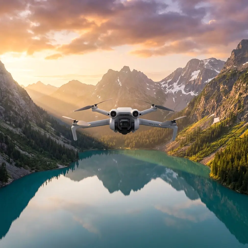
The Mini 5 Pro packs a 1-inch CMOS sensor into a frame weighing under 249 grams. This sensor size matters enormously for low-light work because larger photosites capture more light per pixel.
Expert Insight: When comparing the Mini 5 Pro against the DJI Mini 4 Pro and competing sub-250g platforms, the difference becomes stark below 50 lux. The Mini 5 Pro maintains color accuracy and detail resolution approximately 2.3 stops longer into twilight conditions. For highway surveying, this translates to an additional 45-60 minutes of usable flight time per session.
Key sensor specifications for low-light surveying:
- Native ISO range: 100-6400 (expandable to 12800)
- Maximum aperture: f/1.7
- Effective pixels: 48MP with pixel binning to 12MP
- Minimum focusing distance: 1.65m
D-Log: Your Secret Weapon for Dynamic Range
Highway environments present extreme contrast challenges. Headlights, streetlamps, reflective signage, and shadowed pavement can exist in a single frame with a 15+ stop luminance range.
D-Log color profile captures this information by applying a logarithmic curve that compresses highlights and lifts shadows during recording. The Mini 5 Pro's D-Log implementation preserves approximately 13 stops of dynamic range, giving you extraordinary flexibility in post-processing.
When to use D-Log for highway surveys:
- Mixed artificial and natural lighting
- Scenes containing direct light sources
- Any situation requiring HDR-style output
- Projects destined for photogrammetry processing
Step-by-Step: Configuring Your Mini 5 Pro for Low-Light Highway Work
Step 1: Pre-Flight Camera Settings
Before launching, configure these essential parameters:
- Set recording format to D-Log M (Camera Settings > Color > D-Log M)
- Enable 4K/30fps or 4K/60fps depending on motion requirements
- Lock white balance to 5600K for consistent color across clips
- Set ISO ceiling to 3200 to prevent excessive noise
- Enable histogram overlay for real-time exposure monitoring
Step 2: Obstacle Avoidance Configuration
The Mini 5 Pro's omnidirectional obstacle sensing uses a combination of vision sensors and infrared systems. In low light, these sensors face degraded performance—but not complete failure.
Pro Tip: Set obstacle avoidance to "Brake" mode rather than "Bypass" during low-light operations. The sensors may detect obstacles later than in daylight conditions, and automatic bypass maneuvers could send your aircraft into undetected hazards. Manual control with brake assistance provides the safest operational envelope.
Configure these settings:
- Forward/Backward sensing: On
- Lateral sensing: On
- Upward sensing: On (critical near overpasses)
- Downward sensing: On
- Response mode: Brake
- Warning distance: Maximum setting
Step 3: Flight Path Planning for Highway Corridors
Highway surveying requires systematic coverage patterns. The Mini 5 Pro's Hyperlapse and Waypoint functions enable repeatable flight paths essential for time-series documentation.
Recommended flight patterns:
- Linear corridor mapping: Parallel passes at 80m AGL, 70% side overlap
- Interchange documentation: Orbital patterns at 60m, 45-degree gimbal angle
- Bridge inspection: Slow lateral passes at structure height plus 15m clearance
- Signage inventory: Point-of-interest waypoints at 30m distance, 0-degree gimbal
Step 4: ActiveTrack for Moving Reference Points
When surveying active highways, ActiveTrack can lock onto survey vehicles or reference markers moving through the scene. This creates dynamic documentation showing traffic flow patterns and infrastructure interaction.
ActiveTrack performs reliably in low light when:
- Target vehicle has active lighting
- Contrast exists between subject and background
- Flight altitude stays below 50m
- Subject speed remains under 40 km/h
Technical Comparison: Mini 5 Pro vs. Competing Survey Platforms
| Feature | Mini 5 Pro | Mini 4 Pro | Autel Evo Nano+ | Competitor C |
|---|---|---|---|---|
| Sensor Size | 1-inch | 1/1.3-inch | 1/1.28-inch | 1/2-inch |
| Low-Light ISO | 6400 native | 6400 native | 6400 native | 3200 native |
| Aperture | f/1.7 | f/1.7 | f/1.9 | f/2.8 |
| Obstacle Sensing | Omnidirectional | Omnidirectional | Tri-directional | Forward only |
| D-Log Equivalent | Yes | Yes | Yes | No |
| Weight | <249g | <249g | <249g | <249g |
| Usable Light Floor | ~0.5 lux | ~1.2 lux | ~1.5 lux | ~8 lux |
| Subject Tracking | ActiveTrack 5.0 | ActiveTrack 360° | Dynamic Track 2.1 | Basic |
The Mini 5 Pro's combination of sensor size, fast aperture, and comprehensive obstacle avoidance creates the most capable low-light survey platform in the sub-250g category.
Capturing QuickShots for Stakeholder Presentations
Technical survey data serves engineers. But project stakeholders—commissioners, funding agencies, public officials—need visual context that communicates scope and progress.
QuickShots automated flight modes produce cinematic sequences that transform raw survey missions into compelling visual narratives:
- Dronie: Reveals highway corridor context by pulling back from a focal point
- Rocket: Emphasizes vertical infrastructure like signage and lighting
- Circle: Documents interchange geometry and traffic patterns
- Helix: Combines orbital and ascending motion for bridge approaches
- Boomerang: Creates dynamic reveals of construction progress
Each QuickShots mode functions in low light when the subject maintains sufficient contrast against the background. Illuminated work zones and vehicle headlights provide excellent focal points during twilight operations.
Common Mistakes to Avoid
Mistake 1: Trusting Auto-Exposure in Mixed Lighting
Highway environments fool automatic exposure systems. A single headlight or streetlamp can cause the camera to underexpose everything else in frame by 3-4 stops.
Solution: Use manual exposure with fixed ISO and shutter speed. Adjust aperture only when lighting conditions change significantly.
Mistake 2: Flying Too High in Low Light
Altitude reduces ground sampling distance, requiring longer exposures or higher ISO to maintain detail. In low light, this compounds noise problems.
Solution: Fly at the minimum safe altitude for your survey requirements. For pavement condition assessment, 40-60m AGL typically provides optimal results.
Mistake 3: Ignoring Obstacle Avoidance Limitations
The Mini 5 Pro's sensors degrade below approximately 10 lux. Thin wires, guy cables, and dark-colored structures become invisible to the sensing system.
Solution: Pre-scout all flight areas in daylight. Mark hazard locations in your flight planning software. Maintain 25m minimum clearance from any structure during low-light operations.
Mistake 4: Skipping ND Filters at Dusk
Golden hour and blue hour still produce enough light to require neutral density filtration for proper motion blur in video.
Solution: Carry ND8 and ND16 filters for transitional lighting. Switch to no filtration only when shutter speed drops below 1/60s at your target aperture.
Mistake 5: Neglecting Battery Temperature
Low-light surveys often coincide with cooler temperatures. Battery capacity drops 10-15% at 10°C and 25-30% at 0°C.
Solution: Keep batteries warm until launch. Plan shorter missions during cold-weather operations. Set low-battery warning to 30% rather than the default 20%.
Post-Processing Low-Light Survey Footage
D-Log footage requires color grading to achieve final output. For highway survey applications, consistency matters more than creative interpretation.
Recommended workflow:
- Apply base LUT (DJI provides official D-Log to Rec.709 conversion)
- Adjust exposure to place pavement at approximately 40% luminance
- Reduce highlights to recover streetlamp and headlight detail
- Add subtle noise reduction at 15-25% strength
- Export at source resolution for photogrammetry compatibility
Frequently Asked Questions
Can the Mini 5 Pro produce survey-grade accuracy for highway mapping?
The Mini 5 Pro captures imagery suitable for planning-level surveys and visual documentation. For engineering-grade accuracy requiring sub-centimeter precision, you'll need RTK-equipped platforms. However, the Mini 5 Pro excels at preliminary assessments, progress documentation, and stakeholder communications where its portability and low-light capability provide unique advantages.
How does Subject Tracking perform when following survey vehicles at night?
ActiveTrack maintains reliable locks on vehicles with active lighting—headlights, taillights, or roof-mounted beacons—down to approximately 5 lux. Below this threshold, tracking becomes intermittent. For consistent results, equip survey vehicles with high-visibility LED markers and maintain flight distances under 40m.
What's the minimum lighting condition for usable highway survey footage?
With D-Log enabled and ISO set to 3200, the Mini 5 Pro produces usable 4K footage down to approximately 0.5 lux—equivalent to a moonlit night with some ambient light pollution. Noise becomes visible but remains acceptable for documentation purposes. For photogrammetry applications requiring maximum detail, 5+ lux provides cleaner source imagery.
Maximizing Your Low-Light Survey Operations
The Mini 5 Pro represents a genuine capability leap for infrastructure professionals working in challenging lighting conditions. Its combination of sensor performance, obstacle avoidance reliability, and sub-250g regulatory advantages creates opportunities that simply didn't exist in previous drone generations.
Master these techniques, respect the platform's limitations, and you'll capture highway survey data that competitors flying larger, more expensive aircraft cannot match during the critical dawn and dusk windows.
Ready for your own Mini 5 Pro? Contact our team for expert consultation.