Mini 5 Pro for Windy Forest Surveys: A Practical Flight
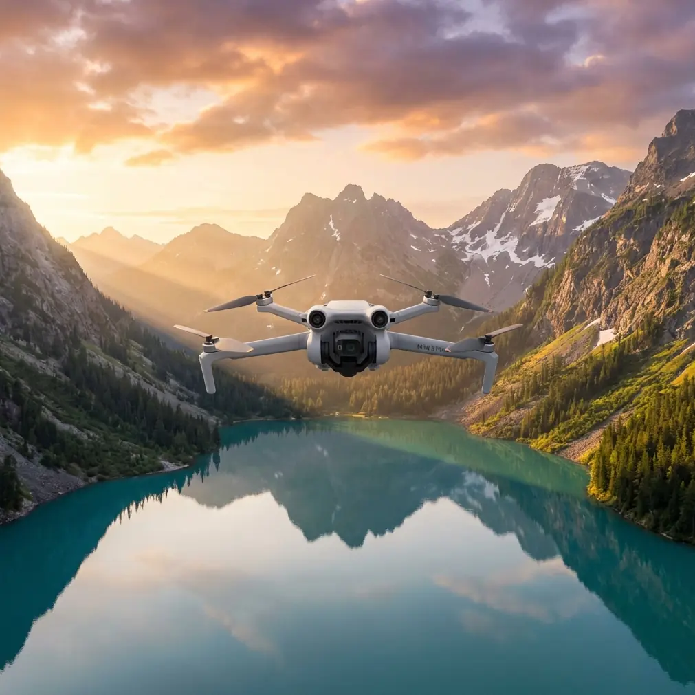
Mini 5 Pro for Windy Forest Surveys: A Practical Flight Workflow That Protects Data Quality
META: A field-tested Mini 5 Pro workflow for windy forest surveying, focused on speed, focus control, route planning, image resolution, and safer low-altitude navigation around trees and wildlife.
Forest surveying looks easy on a map. In the field, it rarely is.
Wind moves through gaps in the canopy differently than it does over open farmland. Light shifts fast. Terrain changes your effective flight height even when the controller says otherwise. And if you are collecting imagery for orthomosaics or inspection-grade records, one small mistake—usually speed, focus, or route logic—can turn a full mission into a folder of unusable files.
That is where the Mini 5 Pro conversation gets interesting.
A lot of drone coverage treats compact aircraft like lifestyle tools first and data tools second. For windy forest survey work, that framing misses the point. What matters is not whether the aircraft is small. What matters is whether your workflow can preserve image sharpness, maintain route discipline, and keep the aircraft moving efficiently when the environment is messy.
The most useful lesson here actually comes from an older DJI ground-station workflow. One reference detail stands out: automated mapping flight speed could be set above 10 m/s, even around 15 m/s, which significantly improved capture efficiency compared with third-party apps that were limited to 10 m/s. That single difference says a lot about modern survey planning. Speed is not just about finishing early. In gusty woodland conditions, the right speed can shorten exposure to unstable air, reduce battery risk, and help you complete a block before light changes across the scene.
For a Mini 5 Pro operator surveying forests in windy conditions, that principle matters more than many people realize.
Start with resolution, not altitude
A common mistake in forest missions is choosing altitude by habit. Someone flies at the same height every time because that is what worked in a previous field, road corridor, or construction site. Forests do not reward that habit.
The better method is to begin with the ground pixel target you need, then derive altitude from the camera. The reference material highlights a very practical advantage in mapping software: it can calculate what ground pixel resolution corresponds to a given flight height for different cameras. The author notes that this kind of value once took repeated flights and extensive processing to learn through experience.
Operationally, this is a huge point.
If you are documenting stand density, canopy gaps, storm damage, access tracks, or replanting zones, image resolution drives whether the mission is merely visual or actually useful. Flying too high may speed up coverage, but it can erase the detail needed to distinguish broken crowns from shadows. Flying too low may increase detail while creating more wind disturbance near treetops, more turns, more battery swaps, and more stitching complexity.
With a Mini 5 Pro, the smart move is to treat altitude as a product of deliverable quality. Decide the level of detail first. Then plan height, overlap, and route density around it. In rolling forest terrain, also remember that “120 meters above takeoff” is not the same thing as a consistent camera-to-canopy distance once the ground rises beneath you.
That is why terrain awareness and obstacle avoidance are not just convenience features in this context. They support consistency. In forest work, consistency is what keeps one data block comparable to the next.
Wind changes how you should think about speed
The reference document’s mention of 15 m/s is more than a performance brag. It reveals a planning mindset: use enough speed to improve mission efficiency, but only when the airframe, mission geometry, and image requirements support it.
In forests, wind rarely behaves as one steady number. You may launch in a clearing and see a manageable forecast, then hit lateral gusts near ridgelines or rotor effects along stand edges. If your Mini 5 Pro is surveying in these conditions, flying too slowly can be just as problematic as flying too aggressively. A sluggish aircraft spends more time in unstable air and may drift more between trigger points. But if you push speed beyond what your shutter, overlap, and stabilization can tolerate, you risk motion blur or inconsistent capture spacing.
So the practical answer is not “fly fast.” It is “fly at the fastest speed your image quality can still support.”
That usually means:
- test one short line before committing to the full block
- inspect image sharpness immediately, not later at the office
- watch whether overlap is being preserved in gusts
- reduce speed near complex edges, taller trees, or terrain transitions
The operational significance of the 10 m/s versus 15 m/s reference is this: software and aircraft capability can either bottleneck your productivity or unlock it. For a compact platform like the Mini 5 Pro, efficient mission design matters because battery budget is finite, and windy forest work consumes more of it than operators expect.
Focus is still the easiest way to lose a survey
If I had to name one failure point that keeps resurfacing in smaller-aircraft mapping work, it is focus.
The source material is blunt about it. On adjustable-focus models, the drone may focus when it first lifts off, then fail to refocus properly once it reaches survey altitude. The result can be a complete mission captured out of focus, only discovered after import on a computer. The suggested workaround in that workflow was to switch into DJI GO 4 after reaching the intended altitude, set focus correctly, then return to the mapping task.
Even though platforms and apps evolve, the lesson is timeless: do not assume takeoff focus equals in-mission focus.
This is especially relevant in forests because visual clutter can fool both operators and systems. Branches near the launch area, foreground brush, and mixed-contrast canopy textures can all make it harder to judge sharpness from a small live view. If you launch from a logging road or clearing with nearby vegetation, then climb to survey over distant canopy, your focal conditions have changed.
Here is the workflow I recommend for Mini 5 Pro forest surveys:
1. Lift and stabilize before the mission starts
Climb to a safe hover above immediate obstacles and let the aircraft settle.
2. Reach intended working altitude
Do not set critical focus at low altitude and assume it will carry through.
3. Verify sharpness on a real reference
Use the clearest high-contrast feature available at survey distance—canopy edge, trail intersection, or isolated deadwood line.
4. Zoom your preview mentally, not emotionally
Do not just glance and say “looks fine.” Look specifically for leaf-edge definition or branch separation.
5. Capture a quick test burst
Review stills on the controller before launching the full route.
This is the kind of habit that saves entire field days.
App switching and mission continuity are more important than they sound
Another detail in the reference data deserves attention: during flight, the operator could switch smoothly into DJI GO 4 without losing app access to the signal, whereas some third-party survey tools required unplugging and reconnecting cables after each switch. That sounds minor until you are in a forest launch zone with wind building and batteries ticking down.
Operationally, smooth app handoff means less friction when you need to intervene.
Maybe autofocus needs correction. Maybe you want to inspect the waypoint logic. Maybe a stand of taller trees than expected is forcing a quick altitude adjustment. Every extra recovery step increases time in the air and cognitive load on the pilot. Compact drones reward clean workflows. The fewer procedural interruptions you create, the more attention you can keep on the mission itself.
This matters even more in windy sites where “just one extra minute” is never just one extra minute. It is one more minute of gust loading, one more minute of battery draw, and one more minute for lighting to change across your grid.
If you are refining a Mini 5 Pro survey setup and want a second opinion on workflow choices, route density, or payload settings, you can message a field specialist here.
Route planning is what keeps signal loss from becoming a problem
One of the most practical details in the source text is support for continuing the mission after signal loss, rather than triggering repeated returns home. That sounds daring at first, but the key phrase is that it depends on reasonable route planning.
That is exactly right.
In forests, signal behavior is shaped by terrain, moisture, canopy density, and your takeoff location. If you build a route that ducks behind ridges, skirts tall tree walls, or flies long legs with poor line of sight, you are setting yourself up for interruptions. A continuation setting can help preserve mission progress, but it is not a substitute for route intelligence.
For Mini 5 Pro operators, the better approach is to plan as if signal resilience is a backup, not a primary strategy.
That means:
- launch from the highest safe clearing available
- align long passes to preserve the cleanest possible geometry with the controller
- avoid unnecessary side-hill segments behind dense canopy walls
- build margins around tall emergent trees
- use obstacle avoidance as a safety layer, not as a replacement for route discipline
I had one forest corridor job where a deer broke cover from a stand edge just as the aircraft was transitioning between lines above a narrow access track. The drone’s sensing system handled the nearby branches cleanly while I slowed the movement and held the route adjustment manually. That moment had nothing to do with cinematic features and everything to do with survey composure. Wildlife encounters are another reason to avoid brittle mission setups. In forests, your aircraft is not operating in a sterile volume of air.
Saved missions are not just convenient—they create repeatability
The source also notes that once a task is planned, it can be saved and relaunched quickly, and if a different aircraft is used later, the software can adapt camera parameters and route density accordingly.
For repeat forest surveys, this is gold.
Wind damage assessment, regrowth monitoring, seasonal access checks, and plantation progress all benefit from repeatable geometry. If your Mini 5 Pro is returning to the same compartments every few weeks or months, saved mission structures help maintain comparability. The ability to revise route density when aircraft or camera settings change also protects data continuity. That is not just convenience. That is quality control.
Repeatability is often where lightweight drones prove their value. You can deploy them quickly, revisit the same blocks without elaborate setup, and preserve a structured archive rather than a patchwork of ad hoc flights.
What about the creative features people keep mentioning?
Features like ActiveTrack, QuickShots, Hyperlapse, and D-Log are often discussed in a content-creation context, but a few of them still have practical value around survey operations.
ActiveTrack is not a mapping tool, but it can help document moving field teams or vehicles during site logistics, trail checks, or training demonstrations. D-Log can help when you need a more flexible image pipeline for visual reporting under difficult forest contrast. Hyperlapse and QuickShots are not part of orthomosaic capture, but they can be useful for stakeholder updates showing road access, canopy edge conditions, or storm-fall extent in a digestible format.
Just keep the priorities straight. For windy forest surveys, obstacle avoidance, flight consistency, focus verification, and mission repeatability should outrank cinematic automation every time.
A field-ready Mini 5 Pro method for windy forest work
If I were building a simple operating sequence from the reference lessons, it would look like this:
- Define the required ground detail before selecting altitude.
- Choose a route that preserves line of sight and avoids terrain-shadowed segments.
- Set speed based on image sharpness, not impatience.
- Reach working altitude and confirm focus there, not at takeoff.
- Run a short test line and inspect stills immediately.
- Use app switching only if it genuinely improves control or verification.
- Save the mission for repeat surveys and adjust density when the platform changes.
- Treat obstacle sensing as insurance, not permission to get lazy near canopy edges.
That may sound basic, but these are the decisions that separate usable forest survey data from expensive retakes.
The Mini 5 Pro is most compelling in this role when you stop asking whether a compact drone can do serious work and start asking whether your workflow is serious enough for the drone. The old GS Pro lessons on speed, focus, app reliability, and resolution planning still apply because the fundamentals of aerial data collection have not changed. Forests still punish sloppy setup. Wind still magnifies small errors. Sharp imagery still wins.
Ready for your own Mini 5 Pro? Contact our team for expert consultation.