Mini 5 Pro for Dusty Field Surveying: What the Old
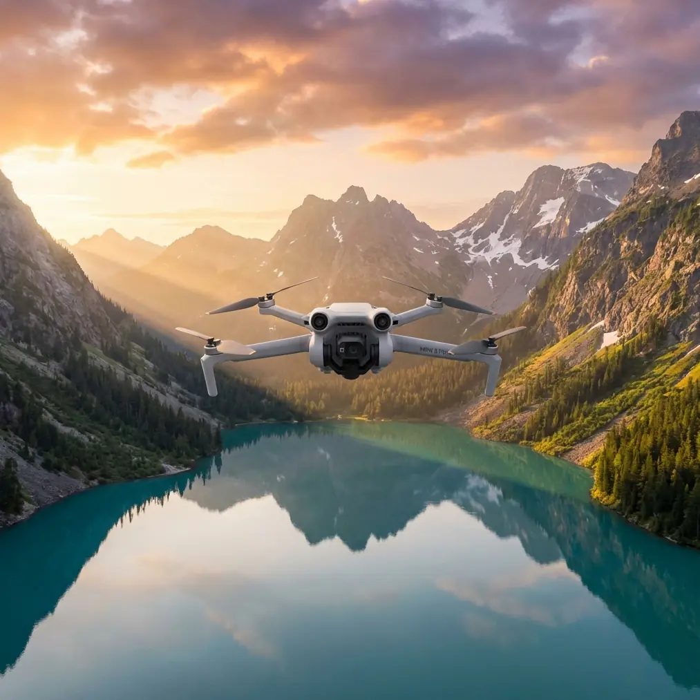
Mini 5 Pro for Dusty Field Surveying: What the Old Photogrammetry Rules Still Teach Us
META: A technical Mini 5 Pro field surveying review focused on dusty operations, flight planning, battery discipline, and why legacy photogrammetry numbers like 556 m, 735 m, and 1:1000 mapping still matter.
When people talk about the Mini 5 Pro, the conversation usually drifts toward image quality, obstacle avoidance, tracking modes, and the usual feature checklist. That misses the point for survey work.
If your real job is documenting fields in dusty conditions, the aircraft is only one piece of the system. The harder question is whether a compact platform can deliver repeatable aerial data without turning each sortie into guesswork. That is where the older discipline of low-altitude digital aerial photogrammetry becomes surprisingly relevant.
I’ve spent enough time around agricultural plots and exposed field roads to know that dust changes the practical value of a drone far more than a spec sheet does. Dust settles on optics. It creeps into folded arms and battery contacts. It makes improvised takeoff habits expensive. And once you start collecting imagery for measurement instead of social media, every small compromise multiplies later in stitching, control, and interpretation.
The Mini 5 Pro sits in an interesting place for this kind of work. It is small enough to deploy fast along field edges, easy to reposition between blocks, and less burdensome to carry across uneven ground. But small also means less tolerance for sloppy field routine. That is why I like to frame the Mini 5 Pro not as a “lightweight survey drone,” but as a precision camera platform that only performs well when the operator respects survey logic.
Why a 2010 photogrammetry standard still matters to a Mini 5 Pro operator
One of the most useful reference points here comes from the Chinese low-altitude digital aerial photogrammetry field standard, CH/Z 3004—2010. The extracted table is messy, but the signal is clear enough: survey output scale, camera format, focal length, and flight height are linked. They are not independent variables.
The standard references a 1:1000 mapping scale scenario and shows example camera setups such as a Canon EOS 5D with a 24 mm lens, alongside listed flight heights including H = 556 m, H = 375 m, H = 735 m, H = 547 m, and H = 462 m depending on the imaging configuration. It also lists focal-length-related values such as 12.85 mm, 8.39 mm, 12.92 mm, 8.39 mm, and 5.18 mm, plus an incremental table where values rise from 0.35 through 3.37 as baseline span changes.
For a Mini 5 Pro pilot, those numbers are not there to be copied directly. They matter because they reveal the operating mindset behind photogrammetric reliability.
The first operational takeaway: altitude is a design choice, not just a legal ceiling or battery compromise. In the standard, flight height changes with camera and lens geometry because image scale and ground coverage must support the required map product. If you are surveying crop rows, irrigation channels, field boundaries, or soil disturbance patterns, the Mini 5 Pro should be flown at a height chosen to match the required interpretation detail—not whatever feels convenient on the day.
The second takeaway: baseline and control geometry matter as much as pixel sharpness. The table’s stepped values tied to baseline span show that the relationship between image overlap, spacing, and control quality is fundamental. With a Mini 5 Pro, that translates into careful mission planning: consistent speed, stable overlap, disciplined line spacing, and enough ground control or checkpoints to validate your output. A crisp image set with weak geometry still produces weak mapping.
That is the part many casual operators never internalize. They assume modern stabilization can rescue poor planning. It cannot.
Dust changes your workflow before takeoff
Field surveying in dusty areas is a workflow problem first and a hardware problem second.
A compact aircraft like the Mini 5 Pro has one major practical advantage over larger survey rigs: it can be launched and recovered from tighter, cleaner improvised zones. That sounds minor until you have watched rotor wash turn a dry field verge into a brown cloud. Dust contamination on the front element or sensors will quietly degrade the whole mission. Not always dramatically. Sometimes just enough to soften contrast, reduce tie-point quality, and create avoidable post-processing friction.
My rule in these conditions is simple: never launch directly from bare soil if I can avoid it. I use a landing pad or the flattest clean surface available, and I stand upwind when powering on. That matters more than people think because the first thirty seconds on the ground are when dust ingestion risk is often highest.
It also affects obstacle avoidance reliability. Sensors do not need to “fail” completely to become less trustworthy. Fine particulate on protective surfaces can influence consistency, especially when the light is already harsh and the terrain is low-contrast. For that reason, I treat obstacle avoidance on the Mini 5 Pro as a useful safety layer during repositioning flights, but not as permission to fly casually near trees, utility lines, or edge vegetation while collecting survey imagery. Survey lines should be planned to avoid those conflicts in advance.
The Mini 5 Pro features that actually matter in survey-adjacent work
A lot of consumer-facing language around drone features is irrelevant for field documentation. But a few functions genuinely help when used correctly.
Obstacle avoidance
In farmland and semi-rural corridors, obstacle patterns are irregular. A lone pump structure, a thin wire, a windbreak row, or a line of poles can interrupt what looks like an open site. Obstacle avoidance is most useful during setup flights, edge checks, and low-altitude transits between blocks. It reduces workload. It does not replace route design.
Subject tracking and ActiveTrack
For pure orthomosaic capture, tracking modes are not the star. But for supplemental inspection passes, they can be useful. If you’re documenting a moving irrigation rig, a farm vehicle pattern, or repeated path behavior around a logistics yard, ActiveTrack can help create context footage that complements the main survey set. The key is to separate this from mapping capture. Tracking is for visual interpretation, not for the core measurement mission.
D-Log
This matters more than many survey users expect. D-Log is not just for cinematic grading. In dusty, high-glare field conditions, a flatter profile can preserve tonal information in bright soil, reflective plastic mulch, or pale crop residue. If you are producing interpretive visuals for agronomists, land managers, or project stakeholders, that extra highlight control can make subtle surface conditions easier to assess later. It is not a replacement for quantitative mapping, but it improves the usefulness of ancillary footage.
QuickShots and Hyperlapse
For strict measurement work, these are secondary. For reporting and client communication, they can be smart additions. A Hyperlapse sequence over a multi-day field change, or a QuickShots-style establishing clip, can help non-technical stakeholders understand site layout before they review orthos or annotations. The mistake is to let these modes consume battery and attention meant for the actual survey grid.
A battery management tip I learned the hard way
This is the one field habit I wish more Mini operators adopted early.
In dusty survey environments, do not fly every battery down to the same low percentage target. Rotate based on task type, not just charge level.
Here’s how I do it:
- The first battery is for site familiarization, wind check, and one short verification pass.
- The second and third batteries are reserved for the actual mapping blocks.
- Any battery that has sat on a hot truck seat, near direct sun, or through a long delay does not go straight into the main mission even if the charge looks fine. It gets used for a short repositioning or visual task first.
Why? Because compact drone batteries often tell the truth on percentage but hide the practical effects of heat and voltage sag under load. In dry field conditions, flights tend to happen under stronger sun and more thermal turbulence. The battery that “should” finish the block is often the one that triggers a conservative return at the worst moment.
I also avoid landing with the aircraft coated in dust and immediately swapping packs in the open. Give the drone a quick wipe around the battery bay and contact area first. It adds a minute. That minute saves far more in long-term reliability than people realize.
If you want to compare field setups or ask about a clean deployment kit for small survey drones, here’s a direct line I’ve found useful: message the team on WhatsApp.
Interpreting the old numbers through a Mini 5 Pro lens
Let’s go back to those photogrammetry figures.
The reference standard’s examples—such as 24 mm optics and flight heights like 556 m or 735 m—belong to larger-format camera thinking than what a Mini-class drone uses. Yet the deeper principle still applies: flight planning starts with the output requirement.
If you need to identify fine field drainage breaks, wheel rutting, stand gaps, or narrow boundary encroachments, flying too high simply because it covers more ground can undermine the project. On the other hand, flying too low because the aircraft is small can bloat mission count, increase seam complexity, and amplify the impact of each gust or yaw correction.
That old standard also hints at something modern drone operators often underappreciate: survey quality scales nonlinearly with discipline. In the extract, the progression from 0.35 to 3.37 across stepped baseline conditions shows that geometry-related error behavior does not stay flat as operating parameters shift. The operational significance is straightforward. Small deviations in overlap planning, course spacing, or control placement can produce disproportionately larger downstream consequences.
For Mini 5 Pro users, that means three practical rules:
Set overlap generously and keep it consistent.
Variable overlap is worse than slightly conservative overlap.Use repeatable altitude and speed profiles.
Avoid improvising line by line unless conditions force it.Validate with checkpoints.
Even if the project is modest, a few well-placed references beat confidence based on screen previews.
What the Mini 5 Pro does well in field surveying
Where the Mini 5 Pro earns its place is not by replacing a dedicated heavy survey aircraft across all jobs. It earns it by reducing friction.
It is the drone you can carry to the back field without rethinking your whole day. It is fast to launch when dust windows are short and wind is building. It is practical for repeat visits, which matters because agricultural and land-management work is rarely a one-time flight. Temporal consistency often matters as much as single-flight precision.
That portability also supports better operator behavior. Bigger systems sometimes tempt teams to “make the mission worth it” by stretching conditions, pushing battery margins, or accepting dirtier launch zones because setup is already cumbersome. With a Mini 5 Pro, there is less excuse for bad field hygiene. You can move, reset, and relaunch from a cleaner patch more easily.
The best results come when the aircraft is used within a disciplined envelope:
- clean launch and recovery,
- preplanned grid logic,
- battery rotation by mission phase,
- and a clear separation between mapping capture and supplementary visual footage.
That last point is worth stressing. If you need orthomosaic reliability, fly for the map first. Use ActiveTrack, QuickShots, or Hyperlapse only after the core dataset is secured.
Final assessment
The Mini 5 Pro makes sense for dusty field surveying when the operator respects survey fundamentals instead of leaning on consumer-drone convenience. The most valuable lesson from the old CH/Z 3004—2010 reference is not any single number, whether 1:1000, 24 mm, or H = 556 m. It is the reminder that aerial measurement quality comes from designed relationships: camera geometry, altitude, control, baseline spacing, and repeatability.
That is exactly why a compact modern drone can produce useful field results in the right hands. Not because it is small. Because it allows a careful operator to apply disciplined photogrammetric logic with less logistical drag.
And in dusty agricultural environments, that discipline begins on the ground, before the props ever spin.
Ready for your own Mini 5 Pro? Contact our team for expert consultation.