Mini 5 Pro for Windy Field Surveying: A Technical Review
Mini 5 Pro for Windy Field Surveying: A Technical Review from a Photographer’s Perspective
META: A practical technical review of the Mini 5 Pro for surveying fields in windy conditions, covering obstacle avoidance, ActiveTrack, D-Log, Hyperlapse, antenna positioning, and real-world flight strategy.
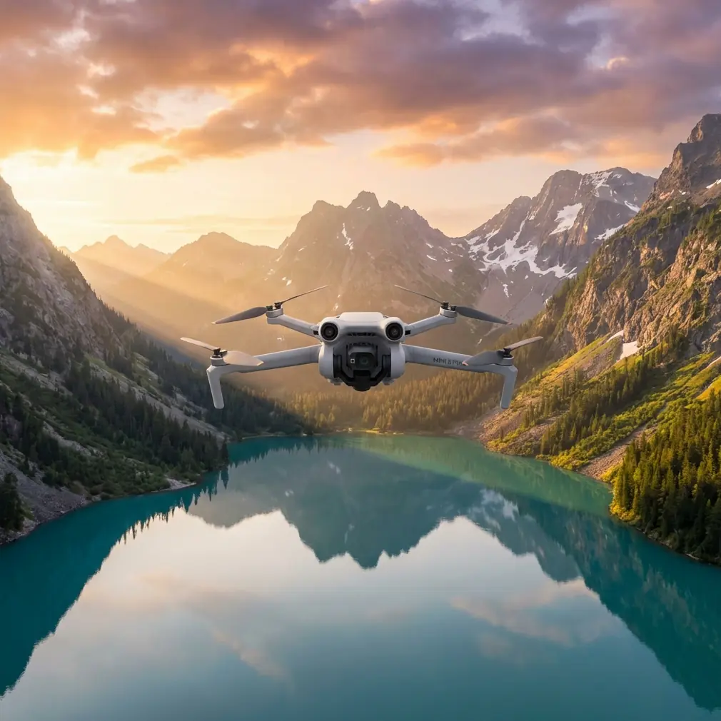
When people ask whether a compact drone can do serious work over open farmland, the real question is not size. It is stability, visibility, and decision-making in the air. A sub-250 g style aircraft like the Mini 5 Pro sits in an interesting place: light enough to stay convenient, advanced enough to tempt professionals, and exposed enough that wind becomes a defining part of the conversation.
I approach that question as a photographer first, but not only as a photographer. Field surveying demands a different kind of discipline than scenic flying. You are not chasing a pretty horizon. You are trying to produce repeatable coverage, readable footage, and reliable flight paths when the landscape offers very little shelter and the wind has a clear run across open ground. That is exactly where the Mini 5 Pro either proves itself or falls short.
This review is built around that scenario: surveying fields in windy conditions, where every feature needs to earn its place.
Why wind changes the way you judge the Mini 5 Pro
Open agricultural land is deceptive. It looks simple from the ground, but from the air it strips away the margin for error. There are often long distances, inconsistent thermal activity above sunlit soil, tree lines that produce turbulent edges, and very few visual anchors once you move out over the center of a plot. In that environment, two things matter immediately: how well the aircraft holds its line, and how clearly the pilot understands the link between aircraft orientation and signal quality.
That second point gets overlooked far too often. Range is never just a specification sheet topic. In real field work, antenna positioning can decide whether your transmission remains clean enough to complete a pass confidently.
With the Mini series, the best practice is simple but operationally significant: point the flat faces of the controller antennas toward the aircraft rather than aiming the antenna tips at it. Antennas do not radiate strongest off the ends like a flashlight beam. Their strongest pattern is broadside. If you stand at the edge of a field and tilt the controller casually while the drone moves farther out, you can degrade your signal without realizing why the image feed suddenly becomes unstable.
In windy surveying work, that matters more than usual. A drone already working harder to maintain position should not also be dealing with poor link quality caused by pilot technique. Better antenna alignment means more reliable telemetry, better live view, and fewer interrupted decisions during long lateral passes over crops.
If you need a quick field-side explanation of controller orientation or flight setup, this direct WhatsApp contact is a practical place to ask before heading out.
Obstacle avoidance matters even in open farmland
People hear “field surveying” and assume obstacle avoidance is not a priority because the area is open. That is a mistake.
Yes, broad acreage reduces the density of obvious hazards. But the risks that remain are exactly the kind that catch pilots off guard: isolated utility lines, irrigation rigs, tall perimeter trees, machinery parked near access tracks, and abrupt elevation changes around drainage features. A drone can spend 80 percent of a mission in clear air and still be lost because of one low-confidence return leg near a tree line.
This is where obstacle avoidance earns its value. Not as a replacement for planning, but as a second layer of protection when wind drift or pilot workload starts stacking up. In gusty conditions, a compact aircraft can overshoot slightly on braking or correction. Sensors help reduce the chance that a small positioning error becomes a serious incident.
For survey-adjacent flying, the operational significance is straightforward: obstacle sensing buys reaction time. In wind, reaction time is everything.
ActiveTrack and subject tracking are more useful than they sound
At first glance, ActiveTrack and subject tracking seem aimed at creators, runners, cyclists, and polished promo videos. In field work, though, they can be surprisingly practical.
Imagine documenting a tractor route, monitoring movement along a farm road, or recording repeatable follow footage of inspection personnel moving through a predefined corridor. Manual tracking in gusty air requires constant micro-corrections. If the Mini 5 Pro’s tracking system can maintain a stable lock while handling modest wind correction, the pilot is freed to think more about surrounding airspace, route geometry, and exposure consistency.
That does not mean automated tracking should be trusted blindly over a working farm. It means the feature can reduce workload when used selectively and with a clear escape path. In technical operations, lowering pilot saturation is often more valuable than adding flashy autonomy.
The same logic applies to QuickShots, though in a narrower way. A scripted orbit or pull-away is not central to survey capture, but it can be useful for documenting site context before or after a mission. For landowners, agronomists, or project managers, that wider establishing view can help connect close inspection data to the larger field layout. Used carefully, automation creates cleaner documentation.
Camera profile choices: why D-Log belongs in a survey workflow
A lot of pilots hear “D-Log” and think cinema. That is only part of the story.
For windy field surveying, lighting is rarely uniform. You may be flying over reflective irrigation channels, dark soil, pale dry patches, crop canopies, and shaded boundary areas all in the same sortie. Standard color profiles can produce a pleasing image quickly, but they can also compress your flexibility when you later need to evaluate subtle differences in texture or brightness.
D-Log is useful because it preserves more grading latitude. That does not turn the Mini 5 Pro into a dedicated mapping sensor, and it does not replace calibrated multispectral tools where those are required. But for visual documentation, agronomy support, and land condition review, having flatter footage that can be normalized carefully in post makes a real difference.
Operationally, this means two things:
- You can recover more useful detail from scenes with mixed contrast.
- You can keep a more consistent look across flights shot at different times of day.
That consistency matters when clients or stakeholders are comparing conditions over time. Even when the mission is not formal photogrammetry, image discipline still affects the usefulness of the result.
Hyperlapse is not just creative fluff
Hyperlapse sounds like a feature for travel clips, but in agricultural and field-monitoring contexts it can serve a real documentation purpose. If you want to show cloud movement over a site, irrigation progress, machinery flow, or changing light across rows, a stabilized time-compressed sequence can reveal patterns that are easy to miss in real time.
The limitation, of course, is wind. Hyperlapse only works when the aircraft can hold a dependable position or execute a programmed path with clean corrections. That is precisely why the Mini 5 Pro’s stability in wind becomes central. A feature can exist on paper and still be useless in the field if the aircraft cannot maintain visual coherence. When it works, though, Hyperlapse becomes a concise reporting tool rather than a decorative extra.
Flight behavior in wind: what actually matters
Manufacturers tend to market top-line intelligence, but field performance usually comes down to less glamorous traits. How early does the aircraft begin to drift? How abruptly does it pitch to recover? Does the horizon remain disciplined? Can the gimbal keep footage readable during gust transitions? Does the live feed stay trustworthy enough to continue the pass?
For surveying open fields, these are the metrics I care about:
1. Groundspeed versus wind penalty
A light drone can look fine outbound with a tailwind and then feel underpowered on the return. Good pilots plan for that from the beginning. Start into the wind when battery is strongest. If conditions are marginal, make the upwind leg first and save the easier return for later.
2. Gimbal resilience
Even when the aircraft is moving around more than you would like, the gimbal should preserve a stable visual reference. Survey documentation loses value quickly if every gust translates into a rolling horizon or jittering frame.
3. Braking and line holding
Field edges, roads, ditches, and irrigation boundaries often need clean, repeatable captures. A drone that slides too much in gusts increases overlap inconsistency and makes side-by-side comparison harder.
4. Link confidence
Again, antenna positioning is not a footnote. Proper orientation can be the difference between a calm mission and an anxious one, especially at the far edge of a large parcel.
A practical windy-field workflow for the Mini 5 Pro
If I were sending the Mini 5 Pro up for a visual survey of farmland in gusty conditions, this is the workflow I would use.
Pre-flight
- Check the field layout and identify wind exposure zones, especially tree lines and elevation changes.
- Set return parameters conservatively.
- Confirm controller antenna orientation before launch.
- Decide whether the mission is primarily for inspection footage, contextual documentation, or repeatable comparison.
First pass
- Fly into the wind early.
- Maintain slightly more altitude than you would on a perfectly calm day if ground turbulence is active near obstacles.
- Keep maneuvers smooth. Wind amplifies sharp inputs.
Capture strategy
- Use standard footage for quick review if turnaround matters.
- Use D-Log when later grading, analysis, or multi-flight consistency is part of the job.
- Reserve ActiveTrack for simple, visually clean tracking tasks, not congested or ambiguous environments.
- Use QuickShots only when a scripted contextual shot supports the record.
- Use Hyperlapse when the goal is temporal change, not just visual flair.
Return and review
- Monitor groundspeed carefully on the return.
- Review horizon stability and detail retention before leaving the site.
- Note any signal weakness and correlate it with your controller position and aircraft heading. That feedback improves the next mission more than most pilots realize.
Where the Mini 5 Pro fits, honestly
The Mini 5 Pro is most compelling when you need a portable aircraft that can move between creative documentation and light professional field work without becoming a burden to carry, deploy, or manage. For windy field surveying, it is not automatically the right tool just because it is advanced. The more accurate statement is that it can be the right tool when the pilot respects the limitations of a compact airframe and uses the available intelligence deliberately.
Obstacle avoidance is not there to make you careless. ActiveTrack is not only for cinematic followers. QuickShots and Hyperlapse are not disposable extras. D-Log is not reserved for colorists. In a real field workflow, all of these features can contribute to better documentation if you understand the reason behind using them.
And then there is the detail that too many reviews skip: signal technique. Proper antenna positioning is mundane, but in open-country operations it has outsized value. It improves connection quality, reduces unnecessary stress, and helps the aircraft’s smarter features stay useful at distance. That is not marketing language. That is fieldcraft.
As a photographer, I appreciate what the Mini 5 Pro can produce visually. As someone thinking about survey conditions, I care more about whether those visuals remain reliable when the wind starts pressing the aircraft around. That is the standard compact drones should be judged by in agricultural work: not whether they look clever on a spec sheet, but whether they stay composed enough to deliver usable information.
Ready for your own Mini 5 Pro? Contact our team for expert consultation.