Mini 5 Pro for High-Altitude Field Work: What Actually
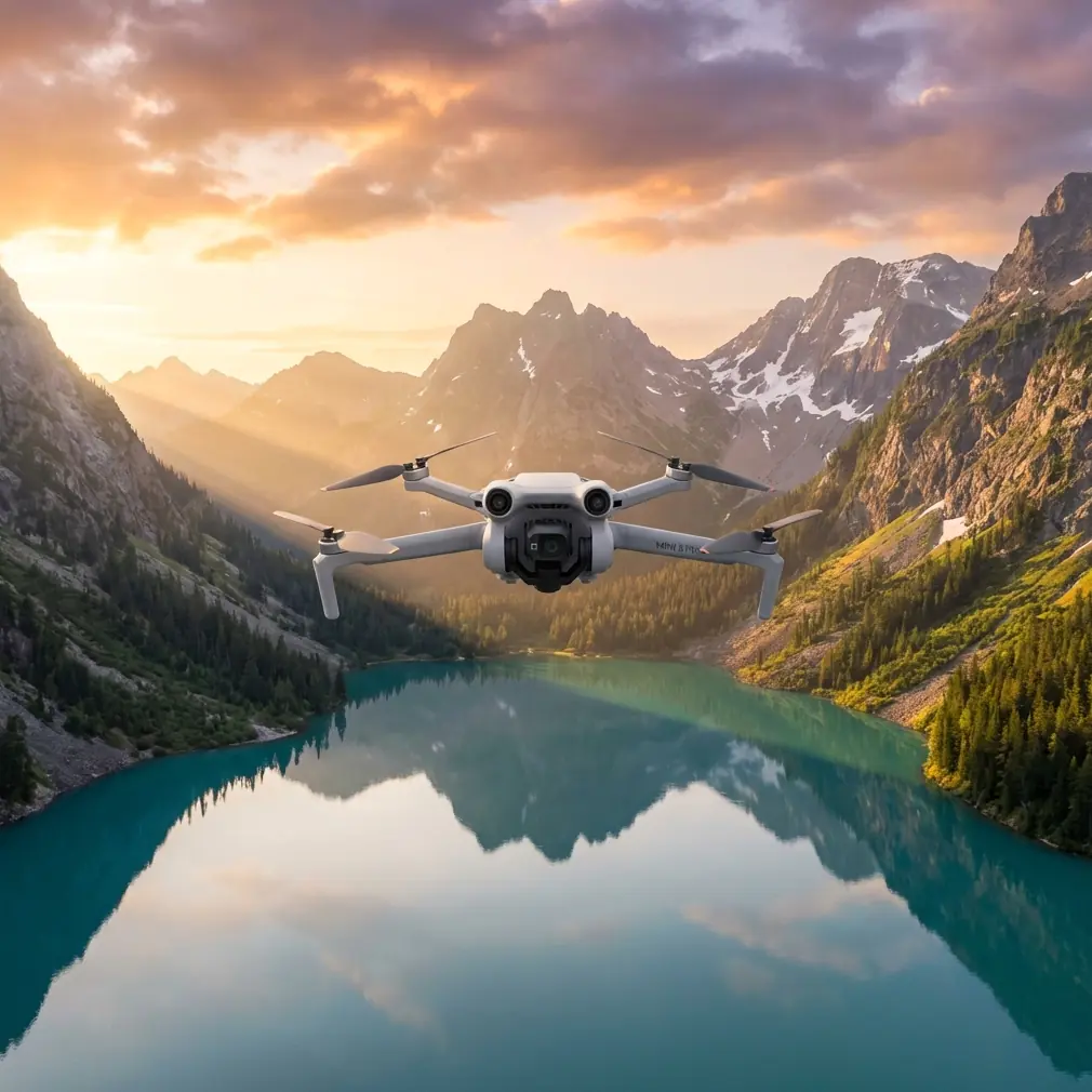
Mini 5 Pro for High-Altitude Field Work: What Actually Matters When You’re Flying Above Mountain Farms
META: A technical review of Mini 5 Pro for high-altitude agricultural observation, with practical guidance on obstacle avoidance, ActiveTrack, D-Log, QuickShots, Hyperlapse, and antenna positioning for better range.
High-altitude farming exposes every weakness in a small drone. Thin air changes lift behavior. Mountain wind comes from awkward angles. Terraced fields break line of sight every few seconds. Battery forecasts that seemed fine at lower elevation stop feeling generous. If you want a realistic view of whether a Mini 5 Pro fits this kind of work, you have to judge it on the conditions that punish compact aircraft the fastest.
That is the frame I’m using here.
This is not a generic overview of a sub-250 g camera drone. It’s a technical review built around one specific reader scenario: supporting field spraying operations in high-altitude terrain. Not by carrying liquid, of course, but by doing the jobs that matter before and during spray planning—spotting drift risk, checking crop access lanes, documenting canopy consistency, identifying obstructions, and helping crews avoid wasteful passes in difficult ground.
For that kind of work, the Mini 5 Pro lives or dies by three things: stability in mountain air, situational awareness from obstacle sensing, and the quality of visual data you can bring back quickly enough to make a decision the same day.
Why a compact drone makes sense in mountain agriculture
Large ag platforms own the actual spraying task. That’s not where a Mini-class aircraft belongs. Its role is the layer before action: reconnaissance, verification, and documentation.
In high-altitude field operations, that lightweight footprint has a real operational upside. You can hike it to terraces, orchard edges, or ridge plots without turning setup into a logistics exercise. If a crew needs a fast check on wind exposure along a slope or wants to verify whether a narrow approach path is clear enough for larger spray equipment, a small aircraft gets airborne fast and can be moved between plots without draining the team.
That sounds obvious until you’ve worked in upland farms where each field sits on a different bench of land and access is half the battle.
The Mini 5 Pro concept is attractive because it promises advanced intelligence in a compact airframe. The feature mix people care about most—obstacle avoidance, ActiveTrack, QuickShots, Hyperlapse, and D-Log—may sound like creator tools on paper, but in agricultural support work they each have a practical angle if you use them correctly.
Obstacle avoidance matters more in terraced fields than on open flats
If your reference point for agriculture is a broad, flat field, obstacle sensing can feel secondary. In steep farming zones, it becomes central.
High-altitude plots often combine tree lines, irrigation pipes, utility wires, retaining walls, poles, netting, and abrupt elevation steps. A drone working these spaces is constantly crossing from open air into clutter. That’s where obstacle avoidance earns its keep—not as a substitute for pilot judgment, but as a second layer when your visual separation is interrupted by terrain.
Operationally, this matters for spray support because your mission often involves repeated low-speed passes near field boundaries. You may be tracing the edge of a terrace to document overspray risk or following a service path that larger equipment uses as an ingress line. In both cases, sensing helps reduce the chance that a compact drone clips an unseen branch or misjudges a wall as you pan sideways for a cleaner view.
The significance is simple: when the aircraft survives close-proximity inspection work, you get usable data from the exact zones where errors tend to happen. That is much more valuable than beautiful footage of the middle of a field.
ActiveTrack and subject tracking are not just for cyclists and creators
A lot of drone buyers misunderstand tracking modes because they associate them with lifestyle content. In agricultural observation, subject tracking has a more grounded purpose.
If a field crew, a utility cart, or a walking scout is moving along a terrace route, ActiveTrack can help maintain visual coverage while the pilot focuses on terrain separation and framing. You are not using tracking as a novelty. You are using it to keep a moving point of reference in frame while assessing path width, crop edge encroachment, or safe staging zones for spraying support.
This can be especially useful when the ground team is checking wind exposure across several elevations of the same property. The drone can hold a cleaner visual relationship to that moving subject than a fully manual operator often can in gusty conditions.
There is a boundary here. Tracking should not be trusted blindly in mountain terrain with irregular obstacles. But when combined with obstacle awareness and conservative flight paths, it can reduce workload during short observational runs.
That reduction in workload has operational significance. Less pilot saturation usually means better decision-making, and better decision-making means fewer rushed flights and cleaner documentation.
D-Log is not a vanity feature if you need to evaluate field conditions properly
Color profile discussions often drift into filmmaking. For farm use, the question is more practical: can the footage preserve enough highlight and shadow information to show what the operator actually saw?
That is where D-Log has value.
High-altitude fields can produce ugly lighting. Bright sky, reflective leaves, dark irrigation channels, shaded retaining walls, and blown-out soil patches can all exist in one frame. Standard profiles may look punchy, but they often sacrifice detail in the exact areas you need for analysis. A flatter profile such as D-Log gives you more flexibility when reviewing crop edges, moisture differences, wheel ruts, and slope contrast after the flight.
This matters if your drone output is part of a same-day spraying decision. If the footage clips too much highlight detail, you may miss signs of leaf stress on exposed rows. If shadows collapse, you may underestimate how rough a terrace transition really is for ground access. Better tonal retention does not just make prettier video. It supports better interpretation.
Even if the final deliverable is just a short clip sent to a farm manager, having that extra latitude before export can rescue a marginally exposed file.
QuickShots and Hyperlapse can serve documentation, not just marketing
QuickShots are easy to dismiss as automated camera tricks. Hyperlapse gets treated the same way. For field operations, both can be useful if you stop thinking of them as entertainment.
A structured QuickShot can create a repeatable visual summary of a plot. For example, a short automated reveal from field edge to upper terrace can document access complexity and crop density in a way that static photos cannot. The consistency is useful. If you revisit the same plot after irrigation, trimming, or a spray cycle, repeated automated movement gives you a cleaner comparison.
Hyperlapse has its place too. In mountain agriculture, weather can shift quickly. A well-positioned hyperlapse from a safe hover point can show fog movement, cloud shadow travel, or wind-driven canopy patterns across a slope. That is not decorative footage. It can help explain why one section of a field dries faster or why drift risk differs between lower and upper sections.
The key is restraint. You are using these modes as observation tools, not as substitutes for direct inspection runs.
Antenna positioning: the simplest range improvement most pilots get wrong
You asked for antenna advice, and this is one area where even experienced operators lose performance for avoidable reasons.
For maximum range and signal stability, the goal is not to point the antenna tips directly at the drone. The strongest part of most controller antenna radiation pattern is broadside to the antenna surface or shaft, not off the very end. In plain terms, you want the flat faces or sides of the antenna oriented toward the aircraft, depending on controller design, rather than aiming the tips like a laser pointer.
Why does this matter so much in high-altitude fields?
Because mountain terrain constantly threatens line of sight. The moment a ridge shoulder, terrace wall, dense orchard row, or even a metal-roof farm building cuts part of the signal path, your link margin shrinks. Poor antenna orientation makes a weak situation worse. Correct orientation does not perform miracles, but it gives the transmission system the best chance to hold a stable feed.
A few practical habits help:
- Keep the controller chest-high, not down at your waist.
- Rotate your body with the aircraft as it moves laterally across a slope.
- Avoid standing directly behind vehicles, corrugated structures, or concrete barriers.
- If possible, launch from a slightly elevated, open point rather than from the low side of a terrace.
- Maintain clean line of sight whenever terrain allows.
The operational significance is obvious: stronger signal consistency means fewer dropouts while you’re checking edge conditions or documenting spray routes. It also means less temptation to push farther than the site really supports.
If you need a second opinion on setup details for mountain field work, I’d use this direct WhatsApp line for a quick configuration discussion: https://wa.me/85255379740
What high altitude changes for the Mini 5 Pro pilot
Compact drones can work well in upland agriculture, but high altitude changes the safety margin. Thin air reduces aerodynamic comfort. Wind that looks manageable from the ground can feel much sharper once the aircraft clears a ridge edge. Return legs often take longer than outbound legs when the terrain funnels headwinds into the drone’s path.
For that reason, I would treat the Mini 5 Pro less like a casual flyer and more like a precision observation tool. Shorter missions. Bigger battery reserve on landing. More conservative route planning.
A practical workflow looks like this:
- Fly the windward field edge first while battery is strongest.
- Capture broad orientation footage early.
- Move into lower, slower detail passes only after establishing obstacle references.
- Keep one clean exit route in mind at all times.
- End before the aircraft forces the decision.
That sequencing matters because mountain sites punish indecision. You don’t want to be exploring a shaded terrace corner for one more clip when the return path climbs into a headwind.
Image quality only matters if the flight profile supports it
People often ask whether a Mini-class drone can produce footage good enough for operational farm review. The better question is whether the pilot can capture it in a stable, repeatable way under real field conditions.
The Mini 5 Pro package is compelling because it blends creator-friendly tools with practical reconnaissance value. But its real strength is not any single feature. It is the combination of sensing, tracking, flexible image capture, and portability in a platform you can deploy quickly between scattered plots.
If you are assessing high-altitude fields for spraying support, this means you can do three jobs in one outing:
- map the access reality of the site,
- identify obstacle and drift concerns,
- and deliver footage that remains useful after the flight because it holds enough detail to review.
That is where D-Log, obstacle avoidance, and tracking stop being spec-sheet items and start becoming workflow tools.
Where the Mini 5 Pro fits—and where it doesn’t
Used properly, the Mini 5 Pro fits the reconnaissance side of agricultural operations very well. It is well suited to scouting, documenting, route preview, terrain familiarization, and visual communication between farm staff, consultants, and operators.
It does not replace a dedicated agricultural spraying aircraft. It does not erase the effects of altitude, wind, or terrain masking. And it does not excuse sloppy range management.
What it can do is shrink the time between question and answer.
Can the upper terrace be accessed safely today? Is the orchard boundary too congested for a larger aircraft approach? Are there new obstacles near the service lane? Does the wind pattern across the ridge look stable enough to proceed with caution later? Has the crop edge changed since the last pass?
For those decisions, a compact drone with reliable obstacle awareness, competent subject tracking, flexible color capture, and disciplined antenna positioning is not a toy. It is a field instrument.
That is the real value proposition for high-altitude farms. Not spectacle. Not buzzwords. Just a small aircraft doing useful work in places where every extra walk, every delayed decision, and every misread condition costs time.
Ready for your own Mini 5 Pro? Contact our team for expert consultation.