Mini 5 Pro Field Report for Coastal Work
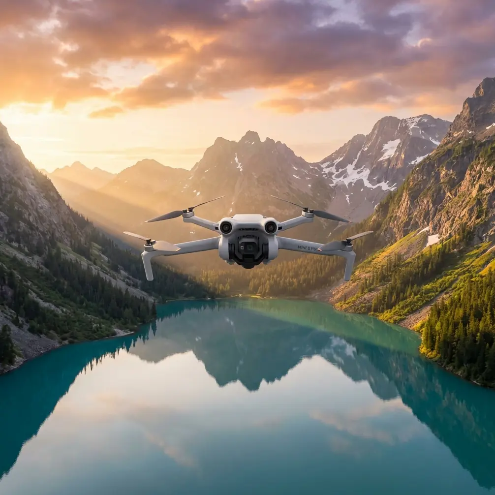
Mini 5 Pro Field Report for Coastal Work: What Mountain Survey Logic Reveals About Low-Altitude Shoreline Operations
META: A field report on Mini 5 Pro for coastal drone work, using mountain survey principles to explain stability, sensor demands, GSD, obstacle avoidance, and third-party accessory upgrades in real operations.
Coastal drone work punishes weak assumptions.
People tend to talk about shoreline flying as if it were simple because the terrain looks open. In practice, it behaves more like a compressed hazard zone: shifting wind, salt in the air, narrow launch points, reflective water, unstable footing, and constantly changing working distances. If you are trying to use a Mini 5 Pro around coastal infrastructure, tidal edges, embankments, aquaculture boundaries, drainage outlets, or erosion monitoring zones, the aircraft choice is only part of the equation. The operating logic matters more.
A useful way to think about the Mini 5 Pro in this environment comes from an unexpected place: technical guidance on UAV photogrammetry for mountain water conservancy surveying. That source was focused on harsh inland terrain, not shorelines, but its central argument applies cleanly to coastal fieldwork. The aircraft must adapt to difficult geography during takeoff and aerial capture. The sensor data must meet ground sampling distance, or GSD, mapping requirements. And the processing chain must support fast, functional image handling and data collection. Strip away the regional context, and that is exactly the checklist that separates a good coastal mission from an expensive do-over.
Why a small multirotor fits awkward coastlines better than many people admit
The reference material makes a sharp distinction between fixed-wing and multirotor platforms. Fixed-wing UAVs are praised for stronger wind resistance, faster flight, higher payload capacity, and efficiency over large mapping areas such as 1:2000 or 1:1000 scale outputs. That makes sense when the goal is broad-area coverage.
But the same source recommends multirotors when the work is centered on 1:500 or 1:1000 mapping tasks, especially where site requirements are restrictive. The reasons are practical, not theoretical: vertical takeoff and landing, hovering, side flight, reverse flight, smaller propellers, more flexible control, lower noise, and safer operation in constrained spaces.
That list could have been written for the Mini 5 Pro operator standing on a wet concrete seawall with five meters of usable launch space.
This is where the Mini 5 Pro format starts to make real operational sense. Along coastlines, your launch area may be interrupted by boulders, fencing, drift material, maintenance equipment, or unstable sand. You may need to hold position over a drainage channel, crab pond edge, retaining wall, or rock revetment to document a detail that matters later in a report. A platform that can lift vertically, stop precisely, and shift laterally without a long run-up is not just convenient. It expands what can actually be documented safely and consistently.
That is one of the strongest crossovers from the mountain survey reference: difficult geography is not only about altitude and cliffs. It is about whether the aircraft can be controlled cleanly where humans have poor mobility and poor visibility.
Coastlines create the same control problem that deep valleys do
The original technical source notes that in deep river valleys, personnel often have a narrow field of view, and that poor programmability or weak flight controllability can lead to aircraft loss. Replace “deep valley” with “coastal berm, sea wall, mangrove edge, harbor structure, or dune cut,” and the pattern holds.
Shoreline work often interrupts visual continuity. You move down riprap slopes. You lose the drone briefly against glare. The subject line bends around an inlet or concrete outfall. Wind direction changes at the edge of a breakwater. The horizon can flatten visual depth cues, especially over water. Even experienced pilots get surprised when a route that looked simple on the map becomes visually ambiguous at low altitude.
That is where Mini 5 Pro features like obstacle avoidance and ActiveTrack-style subject tracking are not lifestyle extras. They are workload reducers. If you are tracing the edge of a sediment barrier, following a service vehicle on a coastal maintenance road, or documenting a line of erosion control structures, these tools can stabilize the mission logic. Not because automation replaces judgment, but because it preserves attention for the things that actually threaten quality: gusts, spacing, glare, and line integrity.
I would still treat any tracking mode conservatively over water and reflective surfaces. But the broader point stands: the more the aircraft can maintain composure in a fragmented visual environment, the more consistent your coastal output becomes.
The real bottleneck is not flight. It is whether the imagery meets the job
The mountain water-survey reference is very clear on another issue that gets neglected in marketing conversations: sensor output must satisfy GSD mapping specifications.
That phrase matters. A good-looking image is not automatically usable data.
If your shoreline mission is meant for inspection notes, rough condition records, or progress visuals, you have more freedom. But if the purpose leans toward measuring erosion progression, checking bank protection alignment, documenting water-control structures, or building a base layer for later planning, then image consistency and spatial detail quickly become more important than cinematic appeal.
The source also highlights the role of mission-matched sensors, listing options such as high-resolution CCD digital cameras, lightweight optical cameras, multispectral imagers, infrared scanners, laser scanners, magnetometers, and synthetic aperture radar. Obviously, a Mini-class platform is not carrying every sensor in that list. The significance is conceptual: platform selection must follow task requirements, not the other way around.
For Mini 5 Pro operators working the coast, this means asking a few disciplined questions before takeoff:
- Is the deliverable visual documentation, mapping, inspection support, or vegetation/wetland assessment?
- Does the standard onboard camera provide enough detail at a safe altitude?
- Will glare, haze, or low-contrast tidal flats compromise interpretation?
- Do I need a repeatable flight path that supports later comparison?
That is why D-Log can be more valuable than people assume. In a coastal scene with bright sky, reflective water, dark rock, and shadowed structures all in one frame, preserving tonal flexibility helps recover usable information from difficult exposures. Hyperlapse and QuickShots may be useful for progress storytelling or stakeholder updates, but D-Log is the feature that often does the heavier lifting when environmental contrast gets ugly.
A third-party accessory that actually changed field performance
Most accessories are clutter. One class of add-on is genuinely worth discussing for shoreline work: a well-designed landing pad with weighted corners and a splash-resistant surface.
That sounds underwhelming until you have tried launching a compact multirotor from damp sand, shell fragments, salt-sticky concrete, or windblown grit. A third-party foldable landing pad I used on coastal assignments improved more than just cleanliness. It standardized takeoff, reduced debris ingestion risk, made compass and preflight positioning easier, and gave crew members a clear visual exclusion zone in messy terrain.
For a small aircraft like the Mini 5 Pro, that kind of repeatable launch discipline matters. Tiny debris and unstable footing are a much bigger issue for lightweight multirotors than many operators admit. On a coastline, every launch is also a contamination event waiting to happen. Salt residue, wet grit, and fine sediment are patient enemies.
So if someone asks me which accessory most meaningfully enhanced coastal capability, I am not picking a novelty filter or decorative prop upgrade. I am picking the landing system support that made launches more consistent and less exposed to shoreline debris. It improved mission reliability, which is what professionals should care about.
Why the Mini 5 Pro makes sense for targeted civilian coastal operations
The source document says multirotors are especially suitable where mapping work is commonly done at 1:500 or 1:1000 scales. That matters because many real-world coastal tasks are not giant-area corridor jobs. They are segmented, repetitive, and detail-sensitive.
Think about the kinds of civilian operations that fit a compact multirotor near the coast:
- documenting seawall defects
- checking drainage discharge points
- monitoring silt or sand movement around small infrastructure
- inspecting aquaculture pond perimeters
- recording shoreline vegetation change
- producing progress visuals for embankment repair
- creating short-interval condition records after storms
- supporting training flights in variable wind zones
These are stop-start missions. They often require hovering, side slip positioning, and close-range framing along irregular edges. The mountain survey reference specifically points to multirotor strengths in hovering, side flight, and flexible control. On a coast, those are not abstract flight characteristics. They directly affect whether you can maintain composition over a curved revetment or hold station while the operator confirms a damaged joint line.
This is also why lower noise can matter. Not for style. For operational tolerance. Around fishing communities, resort frontage, marinas, and habitat-sensitive edges, lower acoustic disturbance reduces friction with the environment and with nearby people.
Sensor discipline beats feature obsession
The reference also reminds us that data processing has to be fast and functional enough for real aerial survey work. That deserves more attention in Mini 5 Pro conversations.
A shoreline mission does not end at landing. The useful question is whether the footage and images can move through your workflow without collapsing under inconsistency. If obstacle avoidance kept the aircraft safe but the frames are unusable because altitude drift changed your effective ground detail, the feature did not save the job. If ActiveTrack held a moving subject but your angle was wrong for inspection interpretation, the automation only produced polished waste.
For operators using the Mini 5 Pro in coastal documentation, the strongest workflow is usually the simplest one:
- define the exact deliverable before flight
- pick altitude and overlap logic based on required detail
- use stabilization features to reduce pilot workload, not replace mission planning
- capture a mix of repeatable overview passes and manual detail shots
- process immediately while environmental context is still fresh
That process follows the same logic embedded in the mountain water-survey paper: aircraft adaptability, data quality against GSD expectations, and processing readiness all have to align.
One practical note on “spraying coastlines”
The reader scenario mentions spraying coastlines in coastal conditions, but that raises a technical mismatch worth stating plainly. A Mini-class aircraft is not the tool I would frame around liquid application. The value of a Mini 5 Pro near shore is much stronger in observation, imaging, tracking, inspection support, and site documentation around agricultural edges, drainage lines, aquaculture zones, and environmental monitoring. If your real-world workflow includes spraying operations, a Mini 5 Pro makes more sense as the scouting and record-keeping aircraft before and after treatment, not the application platform itself.
That distinction can save operators from forcing the wrong aircraft into the wrong role.
The field takeaway
What I like about the old mountain survey reference is that it refuses to romanticize drones. It treats them as systems that either fit terrain, meet mapping standards, and support usable processing, or they do not.
Applied to the Mini 5 Pro on the coast, that mindset cuts through a lot of noise.
Yes, obstacle avoidance helps. Yes, subject tracking can reduce workload. Yes, QuickShots and Hyperlapse are useful for communication outputs. But the deeper value lies elsewhere: a compact multirotor architecture that can launch in cramped shoreline conditions, hover and reposition cleanly, capture detail suitable for small-area documentation tasks, and support repeatable civilian operations where access is poor and environmental conditions shift fast.
That is why the most relevant lesson from mountain water conservancy surveying is not about mountains at all. It is about respect for terrain, respect for data standards, and respect for the difference between flying a drone and completing a job.
If you are building a Mini 5 Pro workflow for coastal inspections, aquaculture edges, erosion monitoring, or shoreline infrastructure records, start there. Then add the accessories and camera settings that strengthen reliability, not just appearance. If you want to compare setups for your shoreline workflow, you can message Chris Park directly here.
Ready for your own Mini 5 Pro? Contact our team for expert consultation.