Mini 5 Pro Field Report: Scouting Large Venues in Extreme
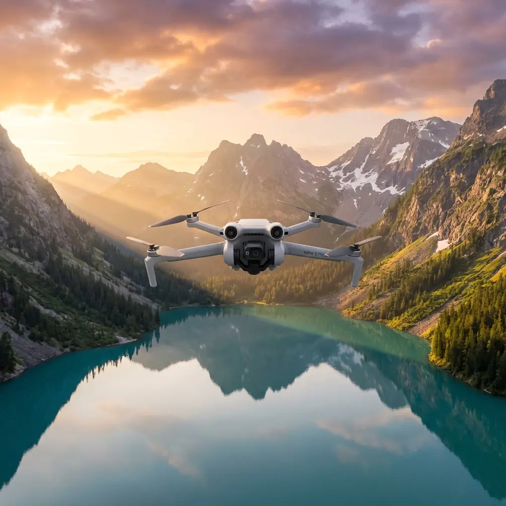
Mini 5 Pro Field Report: Scouting Large Venues in Extreme Temperatures With 3D Panorama in Mind
META: A field-tested Mini 5 Pro scouting workflow for extreme-temperature venue surveys, using 3D panorama thinking, smart flight altitude, obstacle avoidance, ActiveTrack, D-Log, and efficient data capture.
When people talk about venue scouting with a compact drone, they usually drift toward image quality or battery time. In real field conditions, especially under temperature stress, the harder question is this: can the aircraft gather spatially useful information fast enough, cleanly enough, and safely enough to support planning decisions before heat soak or cold-related efficiency losses creep in?
That is where the Mini 5 Pro conversation gets interesting.
I’ve been thinking about this through the lens of a reference that is easy to underestimate: a UAV spatiotemporal data-link industry application document showing 3D panoramic imagery and example urban scenes tied to Wuchang Railway Station and Optics Valley Square. Those two location references matter because they imply exactly the kind of venue environment many operators actually face: broad public spaces, layered structures, signage, footpaths, traffic edges, and architectural complexity that cannot be understood from a single straight-down map. A normal still photo set is rarely enough. What planners need is context.
For Mini 5 Pro users scouting venues in extreme temperatures, that is the operational target: not “get cool footage,” but build a coherent spatial read of the site before environmental conditions begin to punish aircraft performance, pilot comfort, and mission pacing.
Why 3D panorama thinking changes the whole scouting workflow
The most useful detail in the source material is the explicit mention of 三维全景图, or 3D panoramic imagery. That tells us the mission outcome is not merely visual documentation. It is immersive spatial awareness.
In a venue scouting job, this matters more than many realize.
A standard nadir mapping run can show rooflines, pavement markings, and broad geometry. What it often misses is what stakeholders ask five minutes later: How does the entrance actually feel from approach level? What obstructs signage visibility? Where are the pedestrian choke points? Which façade reflects harsh afternoon light? How exposed is the queue area? What sits behind the tree line? How much vertical clutter surrounds a launch or staging zone?
A 3D panorama mindset answers those questions because it records the venue as an environment, not just as a top-down surface.
The reference examples tied to Wuchang Railway Station and Optics Valley Square reinforce this. Railway stations and major plazas are complex civilian spaces. They involve multiple sightlines, circulation paths, layered architecture, and open areas interrupted by poles, awnings, signage structures, and landscaping. That is exactly the sort of place where a Mini 5 Pro operator benefits from combining obstacle-aware flying with deliberate panoramic capture positions.
Extreme temperature scouting: what actually changes
If your venue scout is happening in severe heat or cold, the mission discipline needs to tighten up. Extreme temperatures reduce your margin for casual flying.
In hot conditions, batteries warm quickly, mobile devices dim or throttle, and pilots often rush because standing in full exposure is draining. In cold conditions, battery output can sag, fingers lose dexterity, and repeated setup steps become slower than expected. Neither environment is ideal for wandering through the sky looking for interesting angles.
That is why compact drones like the Mini 5 Pro are most effective when the mission is pre-structured around a small number of high-value capture stations.
Instead of thinking, “I’ll explore and see what I find,” think, “I need three spatially meaningful positions that explain the venue.”
That approach is very much in the spirit of the source document’s panoramic examples. Large public-space panoramas work because the operator commits to vantage points that reveal the whole circulation logic of the site.
Best flight altitude for this scenario
For venue scouting in extreme temperatures, my preferred starting altitude for a Mini 5 Pro is 35 to 45 meters above ground level.
That range is not arbitrary.
Below roughly 25 meters, you often get trapped in local clutter. Trees, light poles, façade projections, and signage begin to dominate the frame. The footage may look dramatic, but it does not reliably explain the venue layout. Above roughly 60 meters, many public venues flatten into abstractions. You start losing the human-scale cues that decision-makers care about: entrance relationships, queue zones, shade structures, curb access, security barriers, and walkable transitions.
The 35 to 45 meter band is the sweet spot for this specific scouting problem because it balances three things:
Context You can read the site as a system rather than as disconnected objects.
Obstacle margin In cluttered public venues, this height usually provides cleaner lines around poles, decorative structures, and trees without sending the aircraft so high that the scene becomes generic.
Thermal efficiency In extreme temperatures, you want fewer repositioning moves. A medium altitude lets you capture broad useful overviews from a limited number of hover points, reducing unnecessary battery burn.
If the venue has dramatic height variation, I’d still begin in that band, then adjust one pass lower for access-route analysis and one pass slightly higher for perimeter logic. But for the first read of the site, 35 to 45 meters is the most consistently productive starting point.
The three-pass scouting method for Mini 5 Pro
For this kind of job, I recommend a field workflow built around three passes.
Pass 1: Structural read
Launch and climb smoothly to your target altitude, ideally around 40 meters. From there, perform a slow orbit or segmented panoramic sweep. Your goal is to understand venue geometry: entrances, choke points, roof edges, plaza depth, and movement corridors.
This is where obstacle avoidance earns its keep. In dense venues, especially when heat shimmer or cold wind makes fine control less comfortable, the extra confidence provided by obstacle sensing helps maintain a disciplined line rather than forcing abrupt corrections.
The source material’s panoramic examples suggest a deliberate spatial overview. That same discipline should define this pass. Do not chase cinematic moments yet. Capture the venue’s logic.
Pass 2: Access and movement read
Drop lower, often into the 20 to 30 meter range, and inspect key pedestrian or vehicle approach lanes. This is where ActiveTrack or subject tracking can be useful, not for dramatic shots, but for practical route analysis. If a coordinator, maintenance cart, or authorized vehicle is moving through the venue, tracking that motion can reveal whether pathways are intuitive, obstructed, or visually confusing.
The operational significance is huge. A static panorama shows structure. A tracked route shows usability.
In places like major squares and transit-adjacent areas, movement behavior matters as much as architecture.
Pass 3: Visual communication pass
Now use QuickShots, short reveals, or controlled Hyperlapse segments to create communication assets for stakeholders. These are not fluff if done correctly. In high-complexity venues, a 10-second reveal from plaza edge to main entry can communicate more clearly to a client than twenty still frames.
This is also the pass where I’d record in D-Log if lighting contrast is severe. Extreme temperatures often coincide with lighting extremes too: bright summer glare, reflective paving, deep shadow pockets under overhangs, or winter low-angle contrast. D-Log gives more room to recover highlights and maintain readable architectural detail.
Why the source’s urban panorama examples matter for Mini 5 Pro users
The reference page is not a Mini 5 Pro manual. That is exactly why it is useful.
It points to the kind of output that real venue operators need: panoramic, spatially legible, location-aware documentation. The mention of Wuchang Railway Station indicates a transport-oriented public site. The mention of Optics Valley Square points to a broad urban plaza environment. Both are civilian locations where crowd flow, access planning, visual orientation, and architectural context are central.
That gives us two practical takeaways for Mini 5 Pro operations:
- Your mission should prioritize spatial readability over isolated beauty shots.
- Your flight plan should be built around vantage points that can support a 3D or quasi-3D understanding of the site.
That is the hidden value in the source material. It shifts the drone from a camera in the sky to a lightweight spatial documentation tool.
Working safely and efficiently in heat and cold
A good venue scout in extreme weather is usually short, intentional, and repetitive in a useful way.
I suggest the following discipline:
- Pre-label your three primary capture points before launch.
- Set camera mode presets in advance.
- Keep exposure strategy simple.
- Avoid wasting battery on exploratory zigzags.
- Review only the key frames in field; save deeper assessment for shelter.
When temperatures are harsh, the best operators are usually the least improvisational.
Mini 5 Pro users should also lean on obstacle avoidance not as a crutch, but as a way to preserve cognitive bandwidth. In extreme heat or cold, fatigue arrives earlier. That affects line discipline, hover precision, and situational awareness. Reducing collision risk around vertical clutter helps keep your mind on the actual job: reading the venue.
A note on panoramic capture discipline
If your end goal is something close to the 3D panorama emphasis seen in the source, consistency matters more than drama.
Hold position cleanly. Pan at a measured speed. Overlap visual zones. Include enough of the ground to preserve orientation, but not so much that you waste frame area on dead foreground. If the venue includes large façades or open square edges, pause at cardinal directions and collect reference frames that can later anchor the spatial narrative.
The key is that panorama is not just a wide image. It is a decision tool.
Stakeholders reviewing a venue scout are often trying to answer practical questions:
- Where can temporary structures fit?
- Which approach path gives the clearest public arrival sequence?
- What areas become visually congested?
- Where do shade, exposure, and open circulation meet?
A strong Mini 5 Pro scouting flight answers those questions almost incidentally, because the capture plan was built around spatial interpretation from the start.
Camera settings that support decision-making
For extreme-temperature venue work, consistency beats experimentation.
I’d prioritize:
- D-Log when contrast is high
- Moderate shutter management to avoid harsh jitter in movement sequences
- Short, controlled clips rather than long wandering takes
- Bracketed stills only where signage or façade detail is mission-critical
QuickShots can help if used surgically. A simple reveal can explain vertical hierarchy around an entry plaza. Hyperlapse can be useful if you need to demonstrate how sunlight or crowd movement changes a space over a compact interval, but only if the venue team genuinely needs temporal context.
ActiveTrack deserves a practical mention too. In site scouting, it can turn an ordinary walkthrough into a route-logic record. Follow a designated subject moving from parking or drop-off to the main entrance, and you suddenly have a clean visual test of wayfinding, obstructions, and overall user experience.
The real advantage of Mini 5 Pro in this use case
The Mini 5 Pro’s appeal here is not simply portability. It is responsiveness.
When temperatures are punishing, setup friction becomes part of mission risk. A compact aircraft that can be launched quickly, flown to a useful mid-level altitude, and tasked with panoramic and route-analysis capture gives you something larger systems often cannot: a low-burden way to gather high-value spatial evidence before the window closes.
That aligns closely with the spirit of the reference material. The featured panoramas are not about spectacle. They are about understanding place.
If you’re planning a venue reconnaissance workflow and want a practical review of flight profile options, I’m happy to discuss it here: message me on WhatsApp.
Final field takeaway
If I were sending a Mini 5 Pro team to scout a major plaza, station frontage, or event-capable public venue in extreme temperatures, I would keep the brief simple:
Start at 35 to 45 meters. Build the mission around three capture stations. Prioritize panoramic spatial clarity. Use obstacle avoidance to reduce cognitive load in cluttered environments. Use ActiveTrack only where route logic matters. Capture D-Log when lighting is harsh. Come home with a venue that can be understood, not just viewed.
That is the difference between drone footage and operationally useful venue intelligence.
Ready for your own Mini 5 Pro? Contact our team for expert consultation.