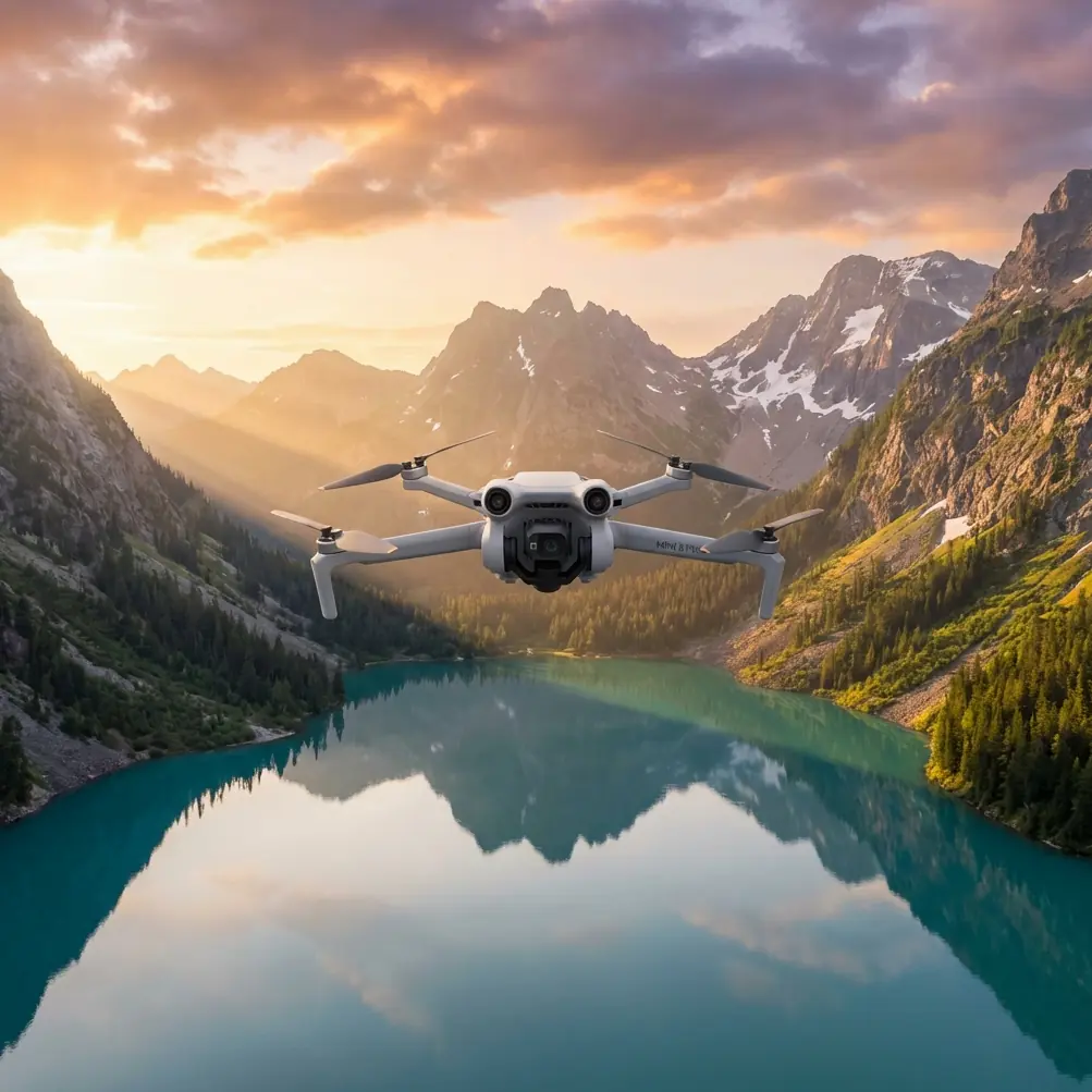
Mini 5 Pro Scouting Tips for Complex Field Terrain
Mini 5 Pro Scouting Tips for Complex Field Terrain
META: Master field scouting with Mini 5 Pro in complex terrain. Learn optimal altitudes, obstacle avoidance settings, and pro techniques for agricultural mapping.
TL;DR
- Fly at 30-50 meters for optimal field scouting in complex terrain with clear obstacle detection
- Enable APAS 5.0 obstacle avoidance in "Bypass" mode for autonomous navigation around trees and structures
- Use D-Log color profile to capture maximum detail in varying crop conditions and shadows
- Leverage Hyperlapse for time-efficient field progression documentation
Field scouting in complex terrain separates amateur drone operators from professionals. The Mini 5 Pro's omnidirectional obstacle sensing and 4K/60fps capability make it the ideal tool for agricultural reconnaissance—but only if you configure it correctly. This tutorial breaks down the exact settings, flight patterns, and techniques I've refined over three seasons of professional field documentation.
Why the Mini 5 Pro Excels at Field Scouting
Agricultural terrain presents unique challenges that demand specific drone capabilities. Rolling hills, tree lines, power infrastructure, and unpredictable wind corridors require a platform that balances portability with professional-grade sensing.
The Mini 5 Pro weighs just 249 grams, keeping it under regulatory thresholds in most jurisdictions while packing sensors that rival heavier platforms. This matters when you're covering multiple fields in a single session.
Key Specifications for Terrain Work
| Feature | Mini 5 Pro Capability | Field Scouting Benefit |
|---|---|---|
| Obstacle Sensing | Omnidirectional APAS 5.0 | Navigate tree lines and structures autonomously |
| Max Wind Resistance | 10.7 m/s (Level 5) | Stable footage in open field conditions |
| Flight Time | 34 minutes | Cover 80+ acres per battery |
| Video Resolution | 4K/60fps HDR | Capture crop detail for later analysis |
| Transmission Range | O4 system, 20km | Maintain signal in valleys and behind obstacles |
| Subject Tracking | ActiveTrack 5.0 | Follow field boundaries automatically |
Optimal Flight Altitude: The 30-50 Meter Sweet Spot
Here's the insight that transformed my field scouting efficiency: altitude selection directly impacts both obstacle avoidance performance and image usability.
Flying below 30 meters in complex terrain triggers constant obstacle warnings and forces the drone into defensive maneuvers. The sensors work overtime, battery drain increases by approximately 15%, and your footage becomes choppy.
Above 50 meters, you lose the granular detail needed for identifying pest damage, irrigation issues, or crop stress patterns. The sweet spot sits firmly between these boundaries.
Expert Insight: At 40 meters, the Mini 5 Pro's 1/1.3-inch sensor captures approximately 2.5 cm ground sampling distance—detailed enough to identify individual plant health while maintaining safe clearance from most agricultural obstacles.
Altitude Adjustment by Terrain Type
Different field conditions demand altitude modifications:
- Flat open fields: 30-35 meters for maximum detail
- Rolling terrain with scattered trees: 40-45 meters for obstacle clearance
- Fields adjacent to forests: 50 meters minimum near tree lines
- Areas with power infrastructure: 60+ meters with manual obstacle monitoring
Configuring Obstacle Avoidance for Agricultural Environments
The Mini 5 Pro's APAS 5.0 system offers three modes. For field scouting, Bypass mode delivers the best results.
APAS Mode Comparison
| Mode | Behavior | Best Use Case |
|---|---|---|
| Bypass | Navigates around obstacles automatically | Complex terrain scouting |
| Brake | Stops when obstacles detected | Precision hovering for detail shots |
| Off | No obstacle response | Open fields only (not recommended) |
In Bypass mode, the drone calculates alternative routes around obstacles while maintaining your general flight direction. This proves invaluable when following irregular field boundaries bordered by trees or structures.
Critical Settings Adjustments
Before launching for a scouting mission, configure these parameters:
- Set obstacle avoidance to Bypass in Safety settings
- Enable downward vision sensors for low-altitude terrain following
- Adjust obstacle detection distance to 15 meters for agricultural work
- Activate Return-to-Home obstacle avoidance for autonomous safety
Pro Tip: In fields with irrigation pivots or tall structures, temporarily increase your obstacle detection distance to 20 meters. The Mini 5 Pro will begin avoidance maneuvers earlier, resulting in smoother footage and safer operations.
Subject Tracking for Boundary Documentation
ActiveTrack 5.0 transforms tedious manual flying into automated precision. For field scouting, this feature excels at following fence lines, tree rows, and crop boundaries.
Setting Up Effective Tracking
The system works best when you provide clear visual contrast. A fence line against green crops tracks reliably. A subtle crop variety boundary may require manual flying.
Tracking setup process:
- Position the drone at your starting boundary point
- Draw a box around your tracking subject (fence post, tree, vehicle)
- Select "Trace" mode for following linear features
- Set tracking speed to 5-7 m/s for smooth footage
- Monitor the tracking confidence indicator throughout flight
ActiveTrack maintains subject lock even when obstacles require deviation. The drone will navigate around a tree, then re-acquire your fence line automatically.
Capturing Usable Scouting Footage
Raw footage quality determines post-flight analysis effectiveness. The Mini 5 Pro offers several recording profiles, but D-Log provides maximum flexibility for agricultural documentation.
Why D-Log Matters for Field Work
Agricultural scenes present extreme dynamic range challenges. Bright sky, shadowed crop rows, and reflective irrigation equipment all appear in single frames. D-Log captures approximately 1 billion colors and preserves detail in both highlights and shadows.
D-Log configuration:
- Set color profile to D-Log M in camera settings
- Reduce sharpness to -1 to prevent artificial edge enhancement
- Set contrast to -2 for maximum shadow detail
- Enable 10-bit recording for color grading flexibility
QuickShots for Standardized Documentation
When scouting multiple fields, consistency matters. QuickShots provide repeatable flight patterns that make comparison between locations straightforward.
Most useful QuickShots for scouting:
- Dronie: Reveals field context while maintaining subject focus
- Circle: Documents 360-degree crop conditions from a fixed point
- Helix: Combines altitude gain with rotation for comprehensive overview
Each QuickShot executes identically every time, eliminating operator variation between fields.
Hyperlapse for Progression Documentation
Seasonal field monitoring benefits enormously from Hyperlapse capability. The Mini 5 Pro captures time-compressed footage that reveals crop development patterns invisible in standard video.
Hyperlapse Configuration for Agriculture
| Setting | Recommended Value | Rationale |
|---|---|---|
| Interval | 3 seconds | Balances detail with file size |
| Duration | 30 seconds output | Sufficient for field overview |
| Mode | Waypoint | Ensures repeatable flight paths |
| Resolution | 4K | Maintains detail for cropping |
Save your Hyperlapse waypoints for each field. Returning to identical positions throughout the growing season creates powerful comparison footage.
Common Mistakes to Avoid
Flying in midday harsh light: The 2-hour windows after sunrise and before sunset provide optimal lighting for crop detail visibility. Midday shadows obscure plant health indicators.
Ignoring wind patterns: Complex terrain creates unpredictable wind corridors. Check conditions at your planned altitude, not ground level. The Mini 5 Pro handles Level 5 winds, but turbulence near tree lines can exceed this.
Neglecting sensor calibration: Agricultural environments expose sensors to dust and debris. Calibrate your IMU and compass before each scouting session, especially after transport on dirt roads.
Overrelying on automated modes: ActiveTrack and QuickShots excel at execution, but human judgment identifies what to document. Fly manual reconnaissance passes before deploying automated features.
Insufficient overlap in mapping runs: When creating field maps, maintain 70% forward overlap and 60% side overlap between passes. Less overlap creates gaps in your documentation.
Frequently Asked Questions
What battery strategy works best for multi-field scouting sessions?
Carry minimum three batteries for serious scouting work. The Mini 5 Pro's 34-minute flight time translates to approximately 25 minutes of practical scouting time after accounting for takeoff, landing, and safety reserves. Three batteries cover roughly 240 acres of detailed documentation.
How do I maintain signal in valleys and behind terrain features?
Position yourself on elevated ground when possible. The O4 transmission system maintains connection at 20km in ideal conditions, but terrain blocking creates dead zones. If signal weakens, gain altitude—the Mini 5 Pro will often re-establish connection above 60 meters even in challenging terrain.
Can the Mini 5 Pro create accurate field maps for precision agriculture?
Yes, with limitations. The Mini 5 Pro captures excellent visual documentation but lacks dedicated multispectral sensors. For NDVI analysis and prescription mapping, you'll need specialized agricultural drones. However, for visual scouting, boundary documentation, and general crop health assessment, the Mini 5 Pro delivers professional results at a fraction of the cost.
Field scouting with the Mini 5 Pro becomes genuinely efficient once you master these terrain-specific techniques. The combination of obstacle avoidance intelligence, tracking capability, and professional video quality creates a platform that handles complex agricultural environments with confidence.
Ready for your own Mini 5 Pro? Contact our team for expert consultation.