How to Scout Urban Coastlines with Mini 5 Pro
How to Scout Urban Coastlines with Mini 5 Pro
META: Master urban coastline scouting with the Mini 5 Pro. Learn optimal altitudes, camera settings, and pro techniques for stunning coastal photography.
TL;DR
- Fly between 60-120 meters for optimal urban coastline coverage while maintaining detail and safety
- Use D-Log color profile to capture maximum dynamic range in high-contrast coastal environments
- Leverage ActiveTrack 5.0 to follow shoreline features while you focus on composition
- Master Hyperlapse modes to create cinematic time-based sequences of tidal movements
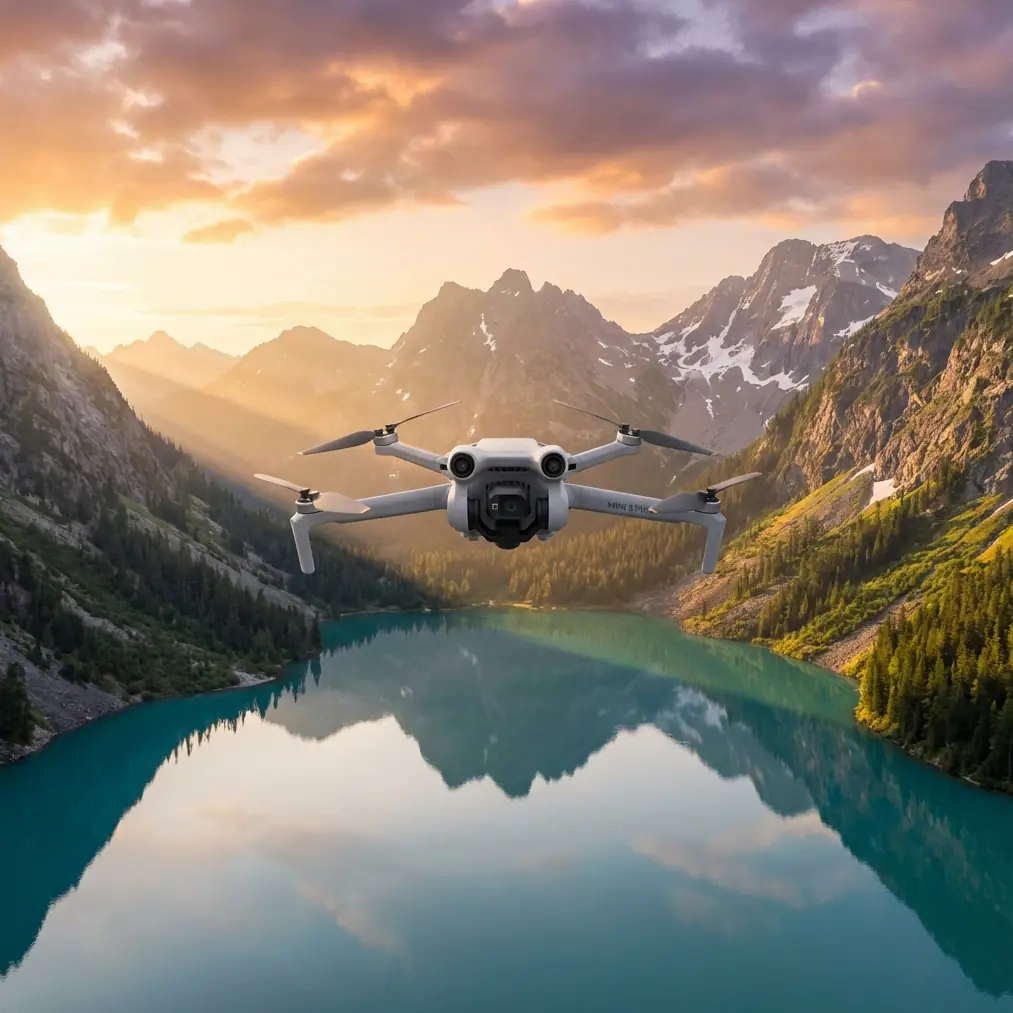
Urban coastlines present unique challenges for aerial photographers. Salt spray, unpredictable winds, and complex airspace restrictions demand a drone that combines portability with professional capabilities. The Mini 5 Pro weighs under 249 grams, keeping you exempt from many registration requirements while delivering the sensor quality and intelligent features needed for serious coastal work.
This guide breaks down exactly how I approach urban shoreline scouting missions—from pre-flight planning to post-processing workflows that maximize your footage quality.
Why the Mini 5 Pro Excels at Coastal Scouting
Urban coastlines blend natural beauty with architectural complexity. You're capturing the interplay between waves, beaches, piers, boardwalks, and city skylines—often within a single frame.
The Mini 5 Pro handles this demanding environment through several key capabilities:
- 1-inch CMOS sensor captures 12.4 megapixel stills with exceptional dynamic range
- Tri-directional obstacle avoidance protects against seabirds, kites, and unexpected structures
- O4 transmission maintains stable connection up to 20 kilometers in ideal conditions
- 34-minute maximum flight time allows thorough coverage of extended shorelines
- Wind resistance up to 10.7 m/s handles coastal gusts that ground lesser drones
The sub-250-gram weight class proves especially valuable in urban coastal zones. Many cities restrict heavier drones near beaches, boardwalks, and waterfront parks. The Mini 5 Pro often flies legally where larger aircraft cannot.
Pre-Flight Planning for Urban Coastal Missions
Successful coastline scouting starts hours before you arrive at the beach. Urban coastal environments demand thorough preparation.
Check Airspace and Local Regulations
Urban waterfronts frequently fall within controlled airspace. Airports, heliports, and military installations often sit near coastal cities.
Before every mission, I verify:
- LAANC authorization requirements through apps like Aloft or Airmap
- Local ordinances restricting drone flights over beaches or parks
- Temporary flight restrictions for events, VIP movements, or emergencies
- Private property boundaries along the shoreline
Assess Weather Windows
Coastal weather shifts rapidly. Morning fog burns off, afternoon sea breezes kick up, and golden hour brings calmer conditions.
My preferred coastal flight windows:
- Sunrise to 2 hours after: Calm winds, soft light, minimal crowds
- 2 hours before sunset: Returning calm, dramatic golden light
- Overcast midday: Even lighting for mapping and survey work
Expert Insight: Wind speeds at 100 meters altitude often exceed ground-level readings by 40-60% in coastal areas. Always check forecasts for your planned flight altitude, not just surface conditions. The Mini 5 Pro handles 10.7 m/s winds, but fighting strong headwinds drains your battery significantly faster.
Scout Your Launch Points
Urban coastlines rarely offer ideal launch locations. You need:
- Flat, stable surfaces away from sand (which damages motors)
- Clear sightlines to your intended flight path
- Shade for your phone screen if shooting midday
- Legal public access without trespassing concerns
I carry a portable landing pad on every coastal mission. It protects the drone from sand and provides a consistent visual reference for precision landings.
Optimal Flight Altitudes for Coastal Scouting
Altitude selection dramatically impacts your coastal footage. Different heights reveal different stories about the landscape.
Low Altitude: 15-40 Meters
This range captures intimate details—wave patterns, beach textures, pier structures, and human activity. You'll see individual surfers, the texture of sand, and architectural details of waterfront buildings.
Best applications:
- Real estate footage of beachfront properties
- Documentary-style human interest content
- Detailed infrastructure inspection of piers and seawalls
Challenges: Increased collision risk, limited coverage area, more frequent repositioning required.
Medium Altitude: 60-120 Meters
This sweet spot balances detail with context. You capture the relationship between urban development and natural coastline while maintaining enough resolution for compelling imagery.
Best applications:
- Location scouting for film and photography productions
- Tourism and destination marketing content
- Urban planning and development documentation
Challenges: Requires attention to airspace restrictions, wind exposure increases.
Pro Tip: For urban coastline scouting, I default to 80-90 meters as my primary working altitude. This height reveals the full scope of beach-to-city transitions while keeping architectural details recognizable. It also positions you below most controlled airspace ceilings in urban areas.
High Altitude: 120-400 Meters
Maximum legal altitude (where permitted) reveals geographic patterns invisible from lower heights. Coastline curves, urban grid layouts, and the scale of development become apparent.
Best applications:
- Geographic survey and mapping
- Environmental monitoring of coastal erosion
- Large-scale urban planning visualization
Challenges: Requires authorization in many areas, loses human-scale detail, wind exposure maximizes.
Camera Settings for Coastal Environments
High-contrast coastal scenes challenge any camera system. Bright sand and water against shadowed buildings and vegetation create exposure nightmares.
Shooting in D-Log
The Mini 5 Pro's D-Log color profile captures approximately 10 stops of dynamic range—essential for coastal work.
D-Log produces flat, desaturated footage that looks terrible straight from the camera. That's intentional. The profile preserves highlight and shadow detail for color grading in post-production.
My D-Log settings for coastal scouting:
- ISO 100-200 to minimize noise
- Shutter speed double your frame rate (1/60 for 30fps, 1/120 for 60fps)
- ND filters to achieve proper shutter speed in bright conditions
- Manual white balance set to match lighting conditions
ND Filter Selection
Coastal environments demand neutral density filters. Without them, you'll either overexpose or use unnaturally fast shutter speeds that create jittery footage.
| Lighting Condition | Recommended ND | Typical Shutter Speed |
|---|---|---|
| Overcast/Foggy | ND4 or ND8 | 1/60 - 1/120 |
| Partly Cloudy | ND16 | 1/60 - 1/120 |
| Bright Midday | ND32 or ND64 | 1/60 - 1/120 |
| Golden Hour | ND8 or ND16 | 1/60 - 1/120 |
| Beach with Snow/White Sand | ND64 or ND128 | 1/60 - 1/120 |
Leveraging Intelligent Flight Modes
The Mini 5 Pro's automated features transform complex shots into repeatable, professional sequences.
Subject Tracking with ActiveTrack 5.0
ActiveTrack locks onto moving subjects—boats, surfers, joggers, vehicles—and follows them automatically. The system uses machine learning to predict movement and maintain framing.
For coastal scouting, I use ActiveTrack to:
- Follow the shoreline itself, treating the water's edge as my subject
- Track boats entering or leaving harbors
- Document pedestrian flow along boardwalks and promenades
The obstacle avoidance system works simultaneously with ActiveTrack, preventing collisions while the drone autonomously follows your subject.
QuickShots for Efficient Coverage
QuickShots execute pre-programmed cinematic movements with a single tap. For coastal scouting, these modes prove invaluable:
- Dronie: Flies backward and upward, revealing coastline context
- Helix: Spirals around a point of interest—perfect for lighthouses, piers, or landmark buildings
- Rocket: Ascends straight up while camera tilts down, showing beach-to-city transitions
- Circle: Orbits a subject at consistent altitude and distance
Each QuickShot takes 15-30 seconds to execute. I typically capture 8-12 QuickShots during a single scouting mission, providing clients with diverse angle options.
Hyperlapse for Temporal Documentation
Coastal environments change constantly. Tides shift, shadows move, crowds ebb and flow. Hyperlapse mode compresses time into compelling sequences.
The Mini 5 Pro offers four Hyperlapse modes:
- Free: Manual flight path with time compression
- Circle: Automated orbit with time compression
- Course Lock: Maintains heading while you fly any direction
- Waypoint: Pre-programmed path repeated with time compression
For coastal scouting, Circle Hyperlapse around a central landmark creates stunning portfolio pieces. A 30-second Hyperlapse typically requires 10-15 minutes of actual flight time.
Technical Comparison: Mini 5 Pro vs. Coastal Alternatives
| Feature | Mini 5 Pro | Air 3S | Mavic 3 Pro |
|---|---|---|---|
| Weight | 249g | 724g | 958g |
| Sensor Size | 1-inch | 1-inch | 4/3-inch |
| Max Flight Time | 34 min | 45 min | 43 min |
| Wind Resistance | 10.7 m/s | 12 m/s | 12 m/s |
| Obstacle Sensing | Tri-directional | Omnidirectional | Omnidirectional |
| Video Resolution | 4K/60fps | 4K/60fps | 5.1K/50fps |
| Registration Required | No (most regions) | Yes | Yes |
| Transmission Range | 20 km | 20 km | 15 km |
The Mini 5 Pro's weight advantage proves decisive for urban coastal work. Heavier drones face more restrictions, require registration, and demand additional insurance in many jurisdictions.
Common Mistakes to Avoid
Flying Too Close to Water
Salt spray damages electronics quickly. Maintain at least 10 meters vertical clearance over breaking waves. Avoid flying through sea spray or mist—the moisture accumulates on sensors and motors.
Ignoring Magnetic Interference
Urban coastlines concentrate magnetic interference. Steel piers, underground utilities, and nearby vehicles confuse compass calibration. Always calibrate your compass away from metal structures and monitor for erratic behavior during flight.
Underestimating Battery Drain
Fighting coastal winds depletes batteries faster than calm conditions. Plan for 20-25% less flight time when winds exceed 7 m/s. Always land with at least 25% battery remaining to maintain control authority.
Neglecting Backup Shots
Coastal conditions change rapidly. A perfect shot at 9:00 AM may be impossible by 9:15 due to shifting clouds, rising winds, or changing tides. Capture multiple takes of critical angles while conditions cooperate.
Forgetting Post-Flight Maintenance
Salt air corrodes metal components. After every coastal flight:
- Wipe down the entire airframe with a slightly damp cloth
- Inspect propellers for salt residue or damage
- Check motor bearings for grinding or resistance
- Store in a sealed case with silica gel packets
Frequently Asked Questions
Can I fly the Mini 5 Pro over the ocean?
Technically yes, but with significant caution. Maintain visual line of sight at all times. GPS signal remains strong over water, but compass interference from boats and underwater cables can cause erratic behavior. Never fly beyond a distance you could recover if the drone experienced a failure. Most professionals stay within 500 meters of shore.
What's the best time of day for coastal scouting?
Golden hour—the first and last hour of sunlight—provides the most flattering light for coastal imagery. However, midday overcast conditions work well for documentation and survey purposes where even lighting matters more than dramatic shadows. Avoid the 2-3 hours after sunrise when morning fog often lingers along urban coastlines.
How do I handle seabirds during coastal flights?
Seabirds, especially gulls and terns, sometimes investigate or attack drones. The Mini 5 Pro's obstacle avoidance helps, but aggressive birds can still cause problems. If birds approach, climb to higher altitude—most species lose interest above 80 meters. Avoid flying near nesting colonies, especially during breeding season. Some coastal areas restrict drone flights specifically to protect bird populations.
Urban coastline scouting demands a drone that balances capability with practicality. The Mini 5 Pro delivers professional imaging quality, intelligent flight features, and regulatory advantages that heavier aircraft cannot match. Master the techniques in this guide, and you'll capture coastal footage that stands apart from amateur efforts.
Ready for your own Mini 5 Pro? Contact our team for expert consultation.