Expert Monitoring With Mini 5 Pro: A Practical Urban Venue
Expert Monitoring With Mini 5 Pro: A Practical Urban Venue Workflow
META: Learn how to use Mini 5 Pro for urban venue monitoring with safer routing, cleaner tracking footage, and more reliable results in tight city environments.
Urban venue monitoring looks simple until the site starts fighting back.
Roofs interrupt line of sight. Light poles appear where your map looked clear. Glass facades confuse depth perception. People move in clusters, then split without warning. A drone that feels perfectly capable in an open park can become awkward fast when you are documenting a stadium perimeter, a convention center loading zone, or a downtown event plaza.
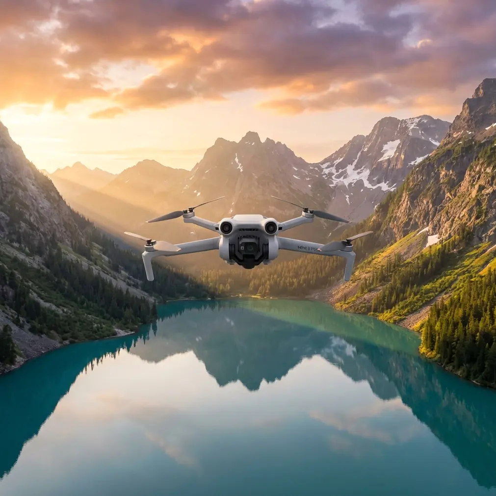
That is the lens I use when thinking about the Mini 5 Pro.
There is no fresh official news cycle to dissect here, so the useful angle is not rumor. It is application. If your job is to monitor venues in urban areas, the Mini 5 Pro matters only if it reduces friction in real operating conditions. That means obstacle avoidance that actually helps in narrow corridors, subject tracking that does not fall apart the moment a vehicle passes under a banner, and color profiles like D-Log that preserve detail when the scene swings from shadow to reflective concrete.
I learned this the hard way on a multi-building venue survey a while back. The aircraft I was using could capture attractive footage, but the workflow was brittle. Each pass demanded too much manual correction. I had to baby the route near lamp arrays, avoid tracking anything that moved under overhangs, and repeat orbits because the exposure fell apart between shaded entrances and bright rooftops. The real cost was not dramatic failure. It was delay. Ten extra micro-decisions per flight. Two extra batteries. A client waiting on a cleaner sequence.
The Mini 5 Pro, used properly, changes that kind of day.
Why this model fits urban venue monitoring
Urban monitoring is rarely about a single cinematic shot. It is about building a reliable visual record. You may need to inspect pedestrian flow around entrances, document rooftop conditions, verify delivery access paths, or create repeatable overhead references before an event opens. That work rewards consistency more than spectacle.
This is where features often treated as marketing shorthand become operational tools.
Take obstacle avoidance. In a venue district, the biggest threat is not always a large building directly ahead. It is the clutter in between: cables, poles, signage frames, decorative structures, temporary staging, trees planted along walkways. Obstacle avoidance matters because it gives you margin while you are managing framing, telemetry, and local airspace awareness at the same time. That margin is not permission to fly carelessly. It is what lets you maintain smoother path discipline when the environment is visually dense.
Now consider subject tracking and ActiveTrack. In an urban venue context, “subject” does not have to mean a runner in a field. It can mean a service vehicle approaching a restricted entrance, a security cart circling a perimeter, or a predefined person walking a route you need to document for access planning. If the tracking system can hold that subject without constant stick corrections, you gain two things: cleaner footage and more attention for surrounding hazards. That second benefit is the one operators underestimate.
QuickShots and Hyperlapse also have more value here than people assume. QuickShots are not only for social clips. They can help you generate repeatable establishing views of a venue edge, parking area, or entry plaza with minimal setup. Hyperlapse can compress a pattern of movement across a site into something readable, whether that is crowd buildup, delivery activity, or traffic rotation around the block. Used sparingly, both save time and make a monitoring package easier for stakeholders to interpret.
Then there is D-Log. In city work, dynamic range is not a luxury. It is survival. A venue can present deep shadows under overhangs and intense highlights on concrete, metal, or glass in the same frame. D-Log gives you more room to hold detail across those extremes. Operationally, that means fewer compromised clips and better continuity across a flight sequence. If you are delivering material for review, planning, or incident documentation, preserving information in difficult light is far more valuable than having footage that looks “finished” straight out of the aircraft.
The workflow I recommend before takeoff
The biggest mistake with an aircraft like the Mini 5 Pro is assuming the smart features will rescue a lazy plan. They will not. They work best when you simplify the mission before motors start.
Start with a venue map and divide the area into four zones:
- Outer perimeter
- Primary entrances
- Rooftop or upper-structure edges
- Service and loading access points
That segmentation sounds basic, but it prevents one common failure: trying to capture everything in one battery as if the site were a scenic landmark. It is not. It is a layered operating environment.
For each zone, define one primary objective. Not three. One.
For example:
- Outer perimeter: verify fencing continuity and access gaps
- Primary entrances: document pedestrian queue geometry
- Rooftop edges: inspect equipment placement and maintenance hazards
- Service access: track vehicle approach and turning behavior
Once the objective is fixed, choose the tool. This is where the Mini 5 Pro earns its place.
Use standard manual flight for tight inspection near structures where you need deliberate control. Use ActiveTrack when the target is moving along a predictable corridor and you need framing consistency. Use QuickShots for repeatable overview angles that help orient decision-makers. Use Hyperlapse only when time compression adds analytical value rather than visual flair.
That distinction saves batteries and protects focus.
How obstacle avoidance helps without becoming a crutch
Obstacle avoidance is one of the most misunderstood features in urban drone work. Some pilots overtrust it. Others dismiss it because they know sensors have limitations. Both camps miss the practical middle.
In venue monitoring, obstacle avoidance is best used as a stabilizer for attention, not as a substitute for route planning.
Here is a real example from my own workflow. When flying along the edge of a venue concourse, I often need to watch three things at once: lateral clearance from columns, moving pedestrians below, and the framing of an entrance canopy. Manual flying alone can handle that, but the cognitive load rises quickly. When obstacle avoidance is working in the background, I can make finer composition decisions without eroding my safety margin.
That matters most in urban spaces where the hazards are irregular. A clean wall is easy. A wall with banners, protruding lights, and temporary event hardware is not.
The Mini 5 Pro becomes more useful as the site becomes more cluttered.
Still, use the feature with discipline. Branches, thin wires, reflective surfaces, and low-contrast edges can challenge any avoidance system. Build routes that assume the sensors may help, not that they must help.
Subject tracking that actually serves monitoring
If you monitor venues long enough, you stop caring whether tracking looks flashy. You care whether it stays useful after the first five seconds.
ActiveTrack and subject tracking on the Mini 5 Pro are most valuable when you assign them a narrow role. Do not ask the aircraft to solve the whole mission. Ask it to handle a specific movement problem.
A few high-value use cases:
- Following a maintenance cart from service gate to interior handoff point
- Documenting the walking route from transit drop-off to entry checkpoint
- Tracking a security patrol to identify blind corners or lighting inconsistencies
- Capturing a vehicle’s turning radius near barriers or loading docks
In each case, the point is not novelty. It is repeatability.
When the aircraft can maintain the subject while you supervise the wider environment, you reduce the jerky corrections that often ruin useful documentation. You also gain a more honest picture of how the route functions in practice. That is especially important in urban venues, where static diagrams rarely capture bottlenecks created by signs, benches, curb geometry, or temporary crowd control hardware.
If you are coordinating with a venue team and need a second set of eyes on setup, I usually suggest sharing the route plan before launch through a quick ops thread like message us here. It keeps the field team aligned without turning the flight into a back-and-forth on the radio.
QuickShots and Hyperlapse for stakeholders, not vanity
QuickShots have a reputation problem because they are often used for style before substance. In venue monitoring, they are much more useful when standardized.
Let’s say you document the same venue every two weeks during a phased build or event prep cycle. A short, repeatable automated pullback or orbit can show changes in fencing, queue lanes, staging, or rooftop equipment placement far more clearly than a handmade sequence that varies every session. Consistency beats artistry when people need to compare conditions over time.
Hyperlapse serves a similar role when movement patterns matter. A parking ingress route that looks fine at 2 p.m. may behave very differently during a compressed 30-minute pre-event rush. Time-compressed footage makes those changes legible. It can reveal where cars hesitate, where pedestrians conflict with service traffic, or where an entry plan looks efficient on paper but degrades under real use.
The rule is simple: if the mode makes the venue easier to interpret, use it. If it only makes the footage look more dramatic, skip it.
Why D-Log matters more in cities than in open landscapes
The lighting problem in urban monitoring is usually vertical. Bright sky above. Dark architectural recesses below. Reflective metal in one direction, tinted glass in another. You can shift from deep shadow to hard glare in a single pass.
That is why D-Log deserves to be part of the Mini 5 Pro conversation.
A flatter profile gives you more latitude when balancing scenes with mixed light. For practical monitoring work, this means you can preserve detail in shaded entrances while avoiding clipped highlights on rooftops or pavement. It also helps when you need visual continuity across clips captured from different angles around the same venue.
If your deliverable is a simple same-day review, you do not need an elaborate grading process. But starting from D-Log gives you a stronger negative to work from. Even light correction can recover information that a baked-in contrasty profile might lose.
This is not just about aesthetics. It is about evidence quality. If a facilities team wants to inspect signage placement under an awning while also checking roofline conditions in the same sequence, tonal headroom matters.
A practical mission template for Mini 5 Pro
If I were deploying the Mini 5 Pro for urban venue monitoring tomorrow, I would keep the mission tight:
- First flight: high-level perimeter pass for context
- Second flight: entrance and queue geometry at moderate altitude
- Third flight: targeted ActiveTrack sequence on one moving route
- Fourth flight: rooftop or upper-structure inspection
- Final short flight: one standardized QuickShot or Hyperlapse for reporting clarity
That structure works because each battery has a job.
It also helps with post-flight review. Instead of sorting through one long mixed mission, you have clearly separated evidence blocks. That makes it easier to brief operations teams, event managers, or property stakeholders who do not want a cinematic reel. They want fast answers.
The real advantage
The Mini 5 Pro is not compelling because it promises to do everything automatically. It is compelling because it can remove enough friction that the operator can think more clearly.
That is the part many buyers miss.
In urban venue monitoring, the best drone is not the one that creates the most impressive clip. It is the one that helps you maintain safe spacing, capture consistent movement, manage difficult light, and repeat the process without burning time on avoidable corrections.
Obstacle avoidance reduces workload in cluttered corridors. ActiveTrack and subject tracking help document movement without constant manual repair. QuickShots and Hyperlapse can standardize visual reporting when used with restraint. D-Log protects detail where city light gets messy.
Those are not abstract specifications. They are operational advantages.
And after enough long days around venues, that distinction becomes obvious. The right aircraft does not just fly well. It makes the whole assignment cleaner.
Ready for your own Mini 5 Pro? Contact our team for expert consultation.