Mini 5 Pro for Mountain Forest Monitoring
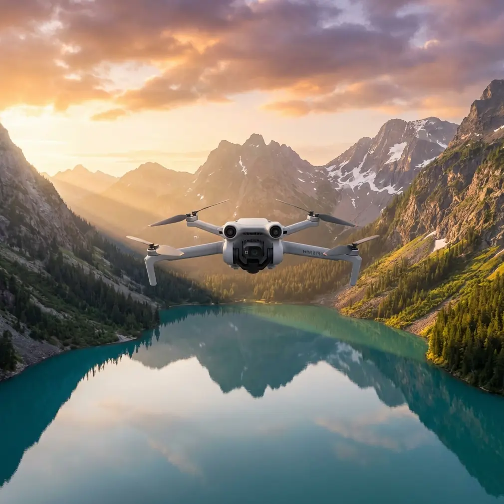
Mini 5 Pro for Mountain Forest Monitoring: What Actually Matters in the Field
META: A practical expert guide to using Mini 5 Pro for mountain forest monitoring, with real workflow advice on obstacle avoidance, ActiveTrack, D-Log, Hyperlapse, QuickShots, and a critical pre-flight cleaning step.
Mountain forest monitoring sounds simple until you try to do it well.
On paper, a compact drone looks ideal. You hike less weight uphill, launch from tighter clearings, and cover ridgelines faster than a ground team. In practice, mountain forests punish sloppy workflows. Light changes by the minute. Branches hide in shadow. Wind behaves differently at the edge of a slope than it does in the valley below. If your aircraft’s sensing system is compromised by dust, pollen, or a thumbprint on a vision sensor, the safety margin you thought you had may not actually be there.
That is why the real story around a Mini 5 Pro for forest work in mountains is not just portability. It is how a small platform can become genuinely useful when you pair its flight intelligence with disciplined pre-flight habits and a mission plan built for uneven terrain.
I approach this as a photographer first, but mountain monitoring pushes you beyond aesthetics. You are not only making attractive footage. You are documenting canopy condition, checking tree-fall corridors, reviewing trail encroachment, watching drainage changes after storms, and revisiting the same area over time to spot meaningful differences. The drone becomes a visual field notebook. The quality of that notebook depends on whether the aircraft can move safely, track consistently, and produce footage flexible enough for later review.
The mountain problem most operators underestimate
Forests in mountain terrain create three overlapping challenges.
First, the obstacle environment is messy. Tree crowns are irregular, dead branches protrude unpredictably, and slope geometry changes your perception of clearance. A route that looks open from one angle can be blocked a few meters later.
Second, subjects do not behave like clean survey targets. If you are following a forest edge, a stream line, or a path under the canopy margin, the visual scene keeps changing. Light flickers through leaves. Contrast rises and falls. Tracking can break if your framing is careless.
Third, documentation quality matters after the flight, not just during it. If your footage clips highlights in mist or loses shadow detail under dense tree cover, it becomes harder to compare conditions across seasons. A monitoring flight that looks “fine” on the screen in the field may become less useful once you start reviewing it seriously.
This is where features often treated as marketing bullet points become operational tools: obstacle avoidance, ActiveTrack, D-Log, QuickShots, and Hyperlapse. Used correctly, they solve very specific mountain-forest problems.
Start with the least glamorous step: clean the sensors before every launch
Here is the pre-flight step I would never skip in mountain forest work: cleaning the drone’s obstacle sensing and imaging surfaces before takeoff.
Not occasionally. Every flight.
Mountain environments collect debris in subtle ways. Fine dust from trails, moisture residue from temperature shifts, airborne pollen, and even oils from handling can affect forward, rearward, downward, or side-facing sensing performance depending on the aircraft design. On a compact drone, those systems are part of your safety envelope. If the surfaces are dirty, obstacle avoidance can become less reliable right when you need it most—flying near treetops, crossing a slope face, or edging backward to widen a shot.
The camera lens matters too, of course, but operators often remember the lens and forget the vision sensors. That is backward for mountain forest monitoring. A smudge on the lens degrades image quality. A smudge on a sensing element can affect how the aircraft perceives the environment.
My routine is simple: inspect the lens, inspect all visible sensors, remove loose grit with a blower or soft brush, then use a clean microfiber cloth designed for optics. No rushed shirt-sleeve wipe. No guessing. In dense terrain, a 30-second cleaning habit can protect the very feature you are counting on to avoid branches.
Why obstacle avoidance matters more in mountains than in open-country missions
Obstacle avoidance is often misunderstood as a substitute for pilot judgment. It is not. In mountain forests, it works best as a second layer that catches problems created by depth perception, terrain compression, and visual overload.
When you are flying over a sloped stand of trees, the background can flatten your view. A branch line and a ridge line may visually merge. A drone that can recognize obstacles and react adds margin when your eyes are juggling too many variables at once: altitude above takeoff point, actual height above terrain, wind drift, and the camera composition you are trying to maintain.
Its operational significance is obvious in three moments:
Lateral repositioning near canopy edges
You often need a small sideways adjustment to reveal storm damage or a drainage cut. In a mountain forest, that short lateral move may bring the aircraft close to unseen branches. Obstacle sensing helps reduce the odds of clipping something outside your immediate focal attention.Backward movement while reframing
Many incidents happen when pilots look at the screen, admire the composition, and ease the drone backward into trouble. Forest monitoring footage frequently requires that exact move. Avoidance systems matter here.Low-speed inspection passes in variable light
Shadows under conifers or mixed forest can distort depth cues. A drone’s sensing system gives you another reference when your own vision is being challenged by contrast.
That said, no one should assume sensors see everything perfectly in every lighting condition or through every cluster of twigs. The smarter approach is to let obstacle avoidance support a conservative route, not rescue an aggressive one.
ActiveTrack and subject tracking are not just for athletes and cinematic shots
In forest monitoring, subject tracking becomes useful when the “subject” is really a repeating observation target.
That could be a trail cutting through woodland, a stream corridor descending a slope, the edge between healthy and stressed canopy, or a moving ranger or field worker whose route you are documenting for site context. ActiveTrack can help maintain framing while you concentrate on the broader airspace and terrain relationship.
This is where mountain flying becomes mentally expensive. You are simultaneously evaluating wind, branches, slope, battery reserves, sun angle, and line of sight. Subject tracking reduces one layer of workload by helping the drone hold visual attention on the target area. That frees you to think like an operator instead of a frantic camera assistant.
The significance is practical. Repeated monitoring works best when your footage is consistent. If the drone can maintain a steadier visual relationship to a forest edge or path on each revisit, your archived material becomes easier to compare. Changes in erosion, canopy density, or obstruction become clearer because your capture method is more repeatable.
Still, I would use ActiveTrack in mountain forests selectively. Open gaps, clear trail corridors, and edges of woodland are suitable. Tight overhead canopy or heavily cluttered branch architecture are not the place to hand off too much control. The feature is most valuable when it reduces pilot workload without placing the aircraft in a guessing contest with dense vegetation.
D-Log is not a luxury feature when your scene contains mist, dark trees, and bright sky
If your mission includes documenting conditions rather than merely watching them live, D-Log matters.
Mountain forests create difficult exposure ranges. You may have bright cloud, reflective haze, sunlit clearings, and deep green shadows in one pass. Standard color can look attractive straight out of the aircraft, but it often gives away flexibility in post-processing. D-Log preserves more room to manage highlights and shadows later, which is exactly what you want when reviewing footage for subtle visual changes.
For a photographer, this is one of the strongest reasons to take a compact drone seriously for monitoring work. You are not just collecting a pretty clip. You are collecting interpretable visual information. If bark texture in shadow or crown condition at the edge of a bright ridge can be recovered more cleanly, your footage becomes more useful to land managers, conservation teams, or documentation partners.
I would still advise discipline. Shoot D-Log when the contrast range justifies it and when your workflow can handle grading and review properly. If the footage will be passed immediately to a team with no post-processing time, a more direct profile may make sense. But for repeated mountain observation in variable weather, D-Log gives you a stronger archive.
QuickShots and Hyperlapse have a place in monitoring, if you stop treating them as novelty modes
A lot of operators hear “QuickShots” and think social media. That misses the point.
In mountain forest work, QuickShots can help standardize establishing views. A repeatable automated movement around a lookout point, a clearing, or a landslip edge can create useful orientation material before you begin detailed passes. Teams reviewing the footage later can understand the site layout faster because they start with a stable visual overview.
Hyperlapse serves a different purpose. It is powerful when you need to show environmental movement over time: shifting fog banks across a ridgeline, changing light over a canopy, the progression of shadows into a valley, or cloud buildup that may affect later operations. For monitoring, these temporal patterns can add context to a site inspection. They explain why visibility changed, why one slope remained damp, or why a certain zone appears darker in a standard pass.
Neither mode replaces direct inspection flying. But both can make your reporting more coherent. Used well, they turn a folder of isolated clips into a readable visual record.
A practical mountain workflow for Mini 5 Pro-style missions
Here is the structure I recommend for a forest monitoring sortie in mountain terrain:
1. Ground check before power-on
Scan the launch area for loose debris, branch overhead risk, and rotor wash hazards. Choose a spot with a clean takeoff path and enough space to verify hover stability.
2. Optics and sensor cleaning
This is the non-negotiable step. Clean the lens and all relevant sensing surfaces carefully. If you have been hiking, check again after unpacking. Trail dust gets everywhere.
3. Short hover verification
Lift to a safe low hover and confirm stable positioning, clean video feed, and predictable response. This is the moment to catch issues before you commit to a route along a slope or tree line.
4. Establishing pass
Use a wide visual pass or a controlled QuickShot-style overview to orient yourself and create reference footage. This becomes useful later when reviewing detailed clips.
5. Focused monitoring segments
Fly conservative lines along forest edges, drainage paths, clearings, or areas of concern. Use obstacle avoidance as backup, not bravado. Bring in ActiveTrack only where the visual scene is open enough to support it safely.
6. High-dynamic-range capture where needed
Switch to D-Log in scenes where mist, backlight, and shadow detail would otherwise compromise review value.
7. Context sequence
If weather or light movement is part of the story, capture a brief Hyperlapse from a safe, stable position.
8. Final review in the field
Before hiking out, inspect clips for sharpness, exposure, and coverage. Mountain access is costly. Re-flying a missed section later is not always simple.
If you are setting up a mountain monitoring workflow and want a practical discussion about aircraft fit, payload expectations, and flight habits, this direct WhatsApp line is a straightforward place to continue the conversation.
What makes a compact drone credible for serious forest observation
The answer is not raw size. It is whether the aircraft helps you reduce three kinds of failure: collision risk, inconsistent framing, and weak footage for later analysis.
Obstacle avoidance addresses the first. ActiveTrack and subject tracking help with the second. D-Log improves the third. QuickShots and Hyperlapse, when used with intention, strengthen site interpretation rather than distracting from it. And the unglamorous pre-flight cleaning step protects the whole stack, because none of those features can perform properly if the sensors they rely on are obscured.
That is the difference between a drone that is merely easy to carry and one that is genuinely useful in mountain forest work.
Mini-class aircraft earn their place when they let you move fast without becoming careless. For photographers, environmental teams, and site observers, that balance matters. You want the convenience of a light kit, but you also need footage and flight behavior you can trust when the terrain gets complicated.
In mountains, the smartest operators are rarely the flashiest. They are the ones who check the sensors, fly conservative lines, use automation where it truly reduces workload, and come home with footage that still makes sense weeks later.
That is what a Mini 5 Pro should be judged on.
Ready for your own Mini 5 Pro? Contact our team for expert consultation.