Mini 5 Pro Field Report: Monitoring Dusty Fields With Road
Mini 5 Pro Field Report: Monitoring Dusty Fields With Road-Survey Logic
META: A field-tested look at how Mini 5 Pro can monitor dusty fields more efficiently by borrowing proven UAV road-survey methods: safer access, faster coverage, live visual feedback, and smarter obstacle handling.
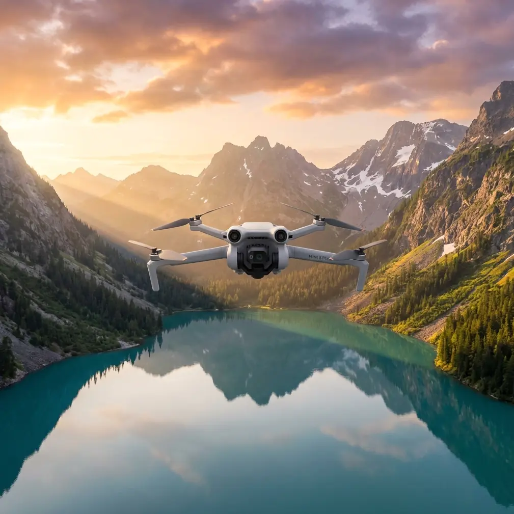
I spent part of last season working the edges of dry agricultural blocks where visibility changes by the hour. Dust hangs low, access roads break down after runoff, and the places you most need to inspect are usually the places you least want to walk. That is why the most useful way to think about the Mini 5 Pro is not as a toy-sized camera drone, but as a compact field observation platform.
What changed my own approach was revisiting an older UAV road survey framework published in 2016 by Tianjin Tengyun Zhihang, a subsidiary of CHCNAV’s parent group ecosystem. Even though the document focused on road reconnaissance rather than agriculture, the operational problems it described are almost identical to what happens in large, dusty field monitoring: manual route inspection consumes labor, terrain blocks access, harsh weather slows or stops work, and satellite imagery often arrives too late or lacks the detail needed for day-to-day decisions.
That overlap matters. Good drone practice transfers across industries when the constraints are the same.
Why road-survey thinking fits field monitoring
The source document lays out five pain points in traditional road investigation. Strip away the road-specific language and you get a perfect description of crop-edge inspection in difficult conditions.
Manual patrols are slow and labor-heavy.
Bad weather, including snow, flooding, earthquakes, and landslides, disrupts fieldwork.
Mountainous or hard-to-reach areas raise both difficulty and risk.
Satellite remote sensing has a long revisit cycle and low resolution.
Manned aircraft are expensive, complex, and harder to approve operationally.
For a dusty farm environment, the first three hit especially hard. If you are checking irrigation margins, fence lines, access paths, windbreak damage, or runoff channels after rough weather, you are often dealing with long, narrow inspection corridors. That “strip distribution” language from the road-construction section is operationally significant because fields are monitored in strips too: perimeter roads, planting rows, drainage cuts, service tracks, and boundary lines. The challenge is not just seeing one problem. It is maintaining situational awareness across a long linear area without burning half a day walking it.
This is exactly where a Mini 5 Pro setup earns its keep.
The real advantage is cycle time
People often talk about image quality first. In actual field operations, cycle time usually matters more.
The road-survey reference criticizes satellite data for its long revisit period and low resolution. That point is easy to overlook, but it is one of the clearest arguments for a compact drone in dusty agricultural monitoring. When wind shifts topsoil in the morning, when a vehicle opens a fresh rut at noon, or when a water line bursts overnight, the issue is not whether an image can be obtained eventually. The issue is whether you can launch quickly enough to make a same-day decision.
Mini 5 Pro is valuable in that gap. A small platform can be carried in a cab, launched from a field margin, and repositioned as conditions change. That speed is more important than people admit. It turns inspection from a scheduled event into a repeatable habit.
In practical terms, that means you can run short flights over the same trouble spots several times in a week rather than waiting for one big survey window. For dusty fields, this helps with:
- identifying fresh vehicle damage along access tracks
- checking whether dust deposition is concentrated on one edge of a crop block
- reviewing drainage channels after runoff
- monitoring isolated structures and equipment pads without driving into soft or unstable ground
- documenting progression, not just presence, of visible stress
Live view beats delayed interpretation in dirty air
One detail in the source document stands out: it describes a quadcopter, the iFly D1, carrying a professional HD camera to obtain real-time site images and video, supported by a high-definition digital image transmission system called iGCS-1.
That is not just a hardware note. It reveals the actual workflow logic: real-time visual confirmation changes how inspection is done.
In dusty fields, this is critical because airborne particulate changes quickly. A still image captured after the fact can be useful for records, but live feed helps the pilot adapt on the spot. You see whether the haze is local or spreading, whether a service road is passable, whether a dust plume is coming from traffic, tillage, or a damaged surface layer. With Mini 5 Pro, the equivalent operational value comes from reliable live monitoring rather than simply collecting footage for later.
This also connects directly to obstacle avoidance. In a dry field, the hazards are not always dramatic. They are often subtle: isolated utility poles, thin fence wire near edges, windbreak trees, irrigation pivots, and parked machinery left just outside the launch path. A live feed plus obstacle awareness allows tighter, lower, more useful inspection passes while reducing the chance of wasting time on overly cautious standoff distances.
The kangaroo moment that sold me on sensor confidence
One late afternoon flight, I was following a field boundary where dust had been drifting against a line of scrub. The light was flat, visibility decent but not perfect. I had the Mini 5 Pro moving along a narrow corridor to inspect erosion near a service track when a kangaroo broke from the brush and crossed toward the open side of the field.
That sounds cinematic, but the practical lesson was simple. The drone did not become the story because the sensors and obstacle awareness let me pause, hold position, and reframe without overcorrecting. In a dusty environment, depth cues can get messy, especially near scrub, fence lines, and uneven ground. The confidence to stop cleanly and maintain separation matters more than speed.
This is where obstacle avoidance is not a bullet-point luxury. It is a field productivity feature. If you trust the aircraft around irregular edges, you spend less mental bandwidth on basic survival and more on what you are trying to inspect.
For wildlife-sensitive areas, that also supports more responsible flying. You can maintain distance, adjust altitude, and resume your route without forcing abrupt moves that stress animals or compromise the shot.
ActiveTrack and subject tracking are more useful in agriculture than they sound
A lot of people associate ActiveTrack or subject tracking with sports clips and social media footage. In field monitoring, they become practical tools when used sparingly.
If you are documenting a moving tractor on a dusty service path to study how much particulate is being thrown into adjacent rows, subject tracking can hold the machine in frame while you evaluate plume spread relative to wind direction. If you are reviewing an ATV or utility vehicle route along a fence line, tracking can help maintain a consistent visual reference without constant manual correction.
The value is not automation for its own sake. It is consistency. Consistent framing makes comparison easier between flights and between different days.
I would still avoid overusing tracking in cluttered areas, especially where poles, trees, and netting complicate the route. But in open blocks with defined margins, it can reduce pilot workload and produce cleaner monitoring records.
Dust rewards disciplined flight profiles
The road-survey document emphasizes that traditional inspection along long corridors is inefficient and hard to control from a global perspective. That line about lacking a full-picture view is operationally significant for field work too. If you only inspect from the ground, you see fragments. Dust events rarely behave in fragments.
With Mini 5 Pro, I usually divide dusty field monitoring into three layers:
1. High overview pass
A broad sweep to identify active dust sources, boundary disturbances, vehicle movement, and directional spread.
2. Mid-altitude corridor pass
A more detailed run along roads, irrigation lines, drainage cuts, or planting edges where issues tend to collect.
3. Low verification pass
Short, targeted looks for specific visible concerns, especially where ground access is poor or risky.
That structure is borrowed directly from the spirit of corridor-based road survey, even if the aircraft is different and the environment is agricultural. You are not just flying for pretty footage. You are reducing uncertainty step by step.
QuickShots and Hyperlapse can contribute here, but only if they serve documentation. A Hyperlapse sequence over a repeated route can reveal movement patterns in dust deposition or traffic flow over time. QuickShots are less central for inspection, though a controlled orbit around a pump station or storage area can help create a concise visual record for reports.
D-Log has real value when dust flattens the scene
Dust is a contrast killer. It compresses the tonal range of the scene and can make subtle differences in surface condition harder to read. That is where D-Log becomes more than a creator feature.
If you are documenting field conditions for later analysis or client review, shooting in D-Log preserves more grading flexibility. You can recover separation between pale soil, faded crop cover, road scarring, and haze layers that would otherwise blend together in a more aggressively processed profile.
This matters most when your goal is interpretability rather than instant sharing. If the footage will be used to compare conditions across dates, consistency in capture profile pays off.
For stills and direct operational review, I would keep things simpler. But for a formal field report, D-Log gives you more room to build a readable visual record from difficult atmospheric conditions.
Why a compact drone can outperform bigger systems in these jobs
The road-survey source contrasts drones with manned aircraft by pointing to cost, maintenance, complexity, and airspace approval burdens. While the Mini 5 Pro is obviously not a substitute for every large-scale aerial mission, the comparison highlights something important: many monitoring tasks do not fail because they are impossible. They fail because the platform is too cumbersome for the frequency required.
Dusty field monitoring often needs repetition more than scale. You want a drone that can be launched often, from imperfect locations, with minimal setup friction. A compact system is not just easier to carry. It is easier to actually use.
That makes it more likely the inspection gets done before a minor issue becomes a larger one.
A practical field routine for Mini 5 Pro in dusty conditions
My own workflow now looks like this:
- launch from the cleanest available edge, not the problem zone itself
- gain altitude before moving into the dust path
- use obstacle avoidance actively near shelterbelts, poles, and irrigation hardware
- reserve ActiveTrack for open, predictable movement
- capture one broad pass and one close verification pass every flight
- log the wind direction verbally in the recording if conditions are changing
- use D-Log when the footage may need later grading for reporting
- repeat the same route often enough to build a comparison library
If you are designing a field-monitoring routine around Mini 5 Pro and want help matching settings to corridor-style inspections, this direct WhatsApp line is a practical place to ask.
The bigger lesson from an older road-survey document
The 2016 road reconnaissance solution may seem far removed from a modern compact drone workflow, but the core lesson holds up well. Drone value is not defined by novelty. It is defined by what friction it removes from inspection work.
That source identified the same blockers field operators still deal with: too much ground labor, too much delay, too much risk in hard-to-reach areas, and too little useful visibility from conventional alternatives. It also highlighted two ideas that remain highly relevant today: real-time HD image transmission and the use of a quadcopter to gather visual data where long, linear work zones make manual inspection inefficient.
For Mini 5 Pro users in dusty agricultural environments, those ideas translate cleanly. Faster deployment shortens inspection cycles. Live visual feedback improves decisions during the flight, not after it. Obstacle avoidance and controlled tracking reduce workload in messy, unpredictable spaces. And a small aircraft makes repeat monitoring realistic enough to become routine.
That is the real story. Not a spec sheet. Not a buzzword list. A smarter way to watch long, difficult ground without having to walk every meter of it.
Ready for your own Mini 5 Pro? Contact our team for expert consultation.