Mini 5 Pro Guide: Monitoring Fields at High Altitude
Mini 5 Pro Guide: Monitoring Fields at High Altitude
META: Master high-altitude field monitoring with the Mini 5 Pro. Learn optimal flight settings, camera techniques, and expert tips for agricultural surveillance.
TL;DR
- Optimal flight altitude for field monitoring ranges from 50-120 meters, balancing coverage area with image detail retention
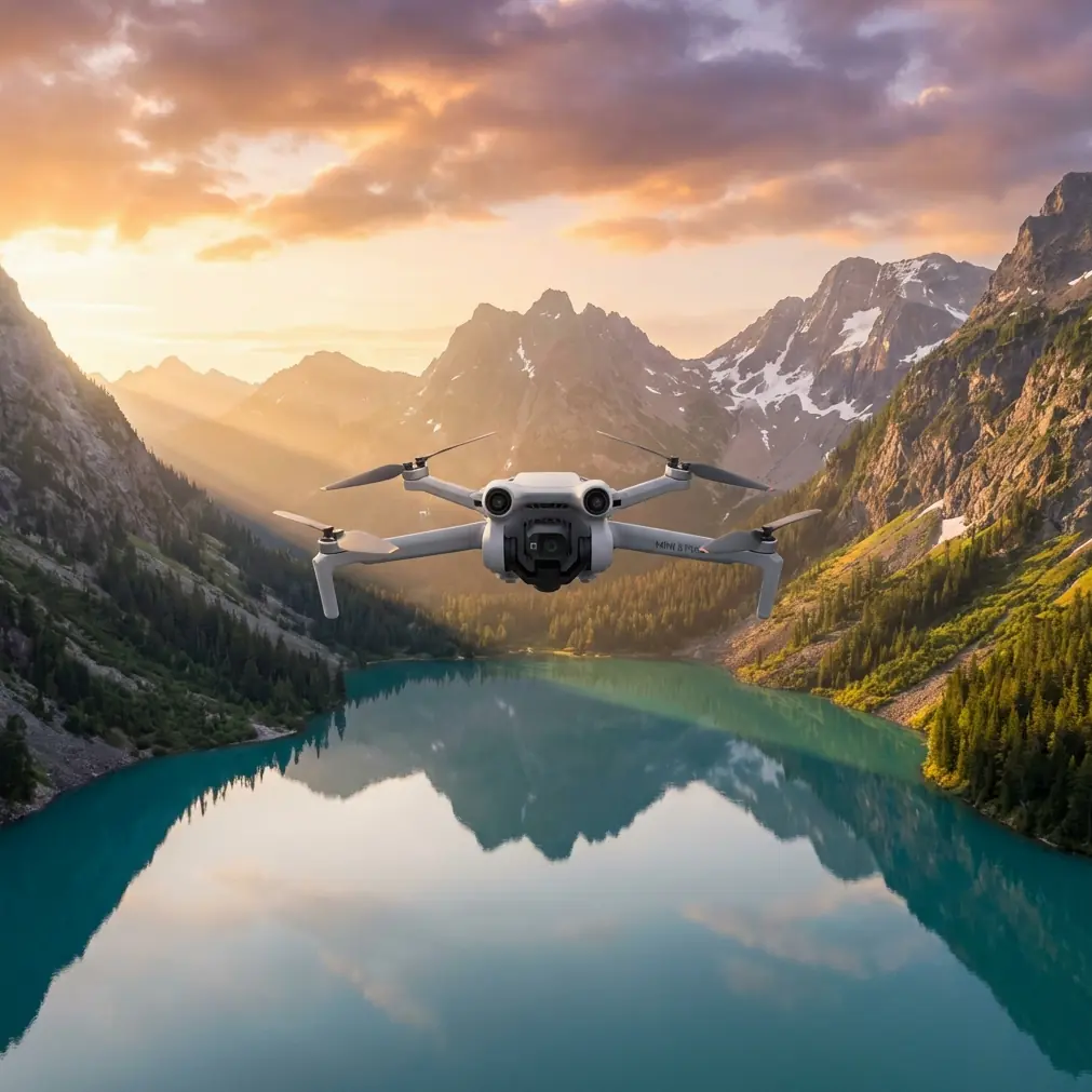
- The Mini 5 Pro's sub-249g weight eliminates registration requirements in most regions while delivering professional-grade imaging
- D-Log color profile captures maximum dynamic range for post-processing agricultural health data
- ActiveTrack and QuickShots automate complex flight patterns, reducing pilot workload during extended surveys
Why High-Altitude Field Monitoring Demands the Right Drone
Agricultural surveillance at elevation presents unique challenges that separate professional equipment from consumer toys. The Mini 5 Pro addresses these demands with a sensor capable of resolving crop detail from 100+ meters while maintaining the portability essential for covering vast acreage.
I've spent three seasons monitoring everything from wheat fields in Montana to vineyard terraces in California's coastal ranges. Altitude changes everything—wind patterns shift, atmospheric haze increases, and your margin for error shrinks. This guide distills those hard-won lessons into actionable techniques you can apply immediately.
Understanding Optimal Flight Altitude for Field Surveys
The Sweet Spot: 50-120 Meters
Flight altitude isn't arbitrary. Too low, and you'll spend hours covering ground that should take minutes. Too high, and you lose the resolution needed to identify crop stress, pest damage, or irrigation issues.
The Mini 5 Pro's 1/1.3-inch CMOS sensor with 48MP resolution maintains usable detail at altitudes where lesser drones produce muddy imagery. Here's how altitude affects your monitoring capabilities:
| Altitude | Ground Coverage | Detail Level | Best Use Case |
|---|---|---|---|
| 30-50m | Limited | Maximum detail | Targeted inspection of problem areas |
| 50-80m | Moderate | High detail | Row-by-row crop health assessment |
| 80-120m | Extensive | Good detail | Full-field overview and mapping |
| 120m+ | Maximum | Reduced detail | Property boundary surveys |
Altitude Considerations at Elevation
Flying at high geographic elevation compounds the challenges. At 1,500 meters above sea level, air density drops approximately 15%, affecting both lift and battery performance.
Expert Insight: For every 300 meters of geographic elevation gain, expect roughly 3-5% reduction in flight time. Plan your missions accordingly—what works at sea level won't translate directly to mountain valleys or high plains.
The Mini 5 Pro's intelligent flight systems compensate automatically, but understanding these physics helps you plan realistic survey routes.
Camera Settings for Agricultural Surveillance
Mastering D-Log for Maximum Data Capture
Standard color profiles look great on Instagram but sacrifice the shadow and highlight detail critical for identifying crop health variations. D-Log captures a flat, high-dynamic-range image that preserves information across the entire tonal spectrum.
Recommended D-Log settings for field monitoring:
- ISO: 100-400 (keep it low to minimize noise)
- Shutter Speed: 1/500 or faster to eliminate motion blur
- Aperture: f/2.8-f/4 for optimal sharpness
- White Balance: Manual at 5600K for consistency across flights
When to Skip D-Log
D-Log requires post-processing. If you need immediate results—showing a farmer a problem area during your visit—switch to the Normal or HLG profile. These deliver usable footage straight from the drone.
Leveraging Intelligent Flight Modes
ActiveTrack for Linear Features
Field monitoring often involves following irrigation lines, fence rows, or crop boundaries. ActiveTrack locks onto these linear features, maintaining consistent framing while you focus on observation rather than stick inputs.
How to use ActiveTrack for field boundaries:
- Position the drone at your starting point, 50-80 meters altitude
- Frame the boundary line in the center of your display
- Draw a selection box around a distinctive feature (fence post, irrigation head)
- Select Trace mode to follow the feature's path
- Adjust speed to 3-5 m/s for detailed capture
QuickShots for Automated Coverage Patterns
QuickShots aren't just for cinematic content. The Dronie and Circle modes create systematic coverage patterns useful for documenting specific field sections.
Pro Tip: Use Helix mode centered on a field's problem area. The ascending spiral captures context at multiple altitudes in a single automated sequence—perfect for documenting drainage issues or pest damage spread.
Hyperlapse for Time-Based Analysis
Agricultural changes happen slowly. Monthly Hyperlapse captures from identical positions create compelling before-and-after documentation that clients and stakeholders immediately understand.
Hyperlapse workflow for seasonal monitoring:
- Save GPS waypoints for each monitoring position
- Capture 5-second Hyperlapses at each point during every visit
- Compile sequences showing growth progression, irrigation effects, or treatment results
Obstacle Avoidance in Open Field Environments
Open fields seem obstacle-free until they're not. Power lines, cell towers, grain silos, and wind turbines appear suddenly when you're focused on crop imagery rather than navigation.
The Mini 5 Pro's omnidirectional obstacle sensing provides crucial protection, but understanding its limitations prevents costly mistakes.
Obstacle avoidance considerations:
- Power lines below 10mm diameter may not register—fly above transmission lines, not under
- Guy wires on towers are nearly invisible to sensors
- Birds trigger avoidance responses; expect occasional unexpected stops
- Tall crops (corn, sunflowers) can trigger ground-proximity warnings at low altitudes
When to Disable Obstacle Avoidance
Experienced pilots sometimes disable avoidance for specific maneuvers. Flying between orchard rows or under pivot irrigation systems requires manual control. Only attempt this after extensive practice in open areas.
Subject Tracking for Wildlife and Livestock Monitoring
Field monitoring extends beyond crops. Tracking wildlife movement, monitoring livestock distribution, or documenting predator activity all benefit from the Mini 5 Pro's subject tracking capabilities.
Effective tracking techniques:
- Use Spotlight mode for animals that move unpredictably
- Set tracking sensitivity to High for fast-moving subjects
- Maintain minimum 30-meter distance to avoid disturbing wildlife
- Enable APAS 5.0 to navigate around obstacles while tracking
Common Mistakes to Avoid
Flying Without Pre-Mission Planning
Arriving at a field without understanding wind patterns, airspace restrictions, or terrain features wastes time and risks equipment. Check weather forecasts, airspace maps, and satellite imagery before every mission.
Ignoring Battery Temperature
High-altitude environments often mean cooler temperatures. Batteries below 15°C deliver reduced capacity and may trigger automatic landing. Keep spares warm in your vehicle until needed.
Overlooking Compass Calibration
Large metal structures—grain bins, irrigation pivots, farm equipment—create magnetic interference. Calibrate your compass away from these objects, and recalibrate if you notice erratic behavior.
Shooting Only Photos or Only Video
Comprehensive field documentation requires both. Photos provide high-resolution detail for analysis; video captures context and movement (water flow, pest activity, wind damage patterns).
Neglecting Metadata
GPS coordinates embedded in your imagery enable precise return visits and mapping integration. Verify location services are enabled before every flight.
Building Efficient Survey Routes
Grid Patterns for Complete Coverage
Systematic grid flights ensure no area goes undocumented. The Mini 5 Pro's intelligent flight planning supports automated grid patterns, but manual planning often produces better results.
Grid planning principles:
- 70% overlap between passes ensures no gaps
- Perpendicular passes on subsequent flights reveal features hidden by shadows
- Consistent altitude throughout the grid maintains uniform resolution
- Wind-aligned flight lines reduce battery consumption
Waypoint Missions for Repeat Surveys
Saving waypoint missions enables identical coverage across multiple visits. This consistency is essential for detecting changes over time—the foundation of effective agricultural monitoring.
Frequently Asked Questions
What's the maximum wind speed for reliable field monitoring with the Mini 5 Pro?
The Mini 5 Pro handles sustained winds up to 10.7 m/s (Level 5). However, for stable imagery during field surveys, I recommend limiting flights to conditions below 8 m/s. Higher winds cause micro-vibrations that degrade image sharpness, particularly noticeable in detailed crop analysis.
How many acres can I realistically cover on a single battery?
Under optimal conditions at 80 meters altitude with moderate speed, expect to cover 40-60 acres per battery. This varies significantly with wind, temperature, and flight pattern complexity. Carry at least three batteries for any serious survey work.
Should I use RAW or JPEG for agricultural monitoring?
Capture RAW files whenever post-processing is planned—the additional data enables better extraction of crop health indicators. For quick documentation or client previews, JPEG suffices. The Mini 5 Pro supports simultaneous RAW+JPEG capture, eliminating the need to choose.
Final Thoughts on High-Altitude Field Monitoring
The Mini 5 Pro transforms agricultural surveillance from a specialized service into an accessible capability. Its combination of portability, imaging quality, and intelligent flight modes addresses the specific demands of field monitoring at elevation.
Success comes from understanding your equipment's capabilities and limitations. The techniques outlined here—optimal altitude selection, proper camera configuration, intelligent use of automated modes—form the foundation for professional-quality results.
Every field tells a story. With the right approach, the Mini 5 Pro helps you capture that narrative with precision and efficiency that benefits farmers, land managers, and agricultural consultants alike.
Ready for your own Mini 5 Pro? Contact our team for expert consultation.