How I’d Use a Mini 5 Pro to Inspect Coastal Vineyards
How I’d Use a Mini 5 Pro to Inspect Coastal Vineyards
META: A practical Mini 5 Pro vineyard inspection workflow for coastal growers, covering obstacle avoidance, ActiveTrack, D-Log capture, Hyperlapse planning, and field-ready accessory tips.
Coastal vineyards ask more from a drone than inland rows usually do. Wind shifts faster. Light bounces hard off water and pale soil. Salt haze can flatten contrast just when you need to spot weak canopy patches or irrigation irregularities. If I were building a repeatable inspection routine around the Mini 5 Pro for this kind of work, I would not treat it as a flying camera first. I’d treat it as a field instrument that happens to shoot excellent video.
That distinction changes everything.
A good vineyard flight is not about collecting dramatic footage over neat rows. It is about coming back with material you can actually use: row-by-row consistency checks, evidence of stress patterns near the coastal edge, visual confirmation of trellis condition, and enough image latitude to compare one block against the next without the color shifting all over the place.
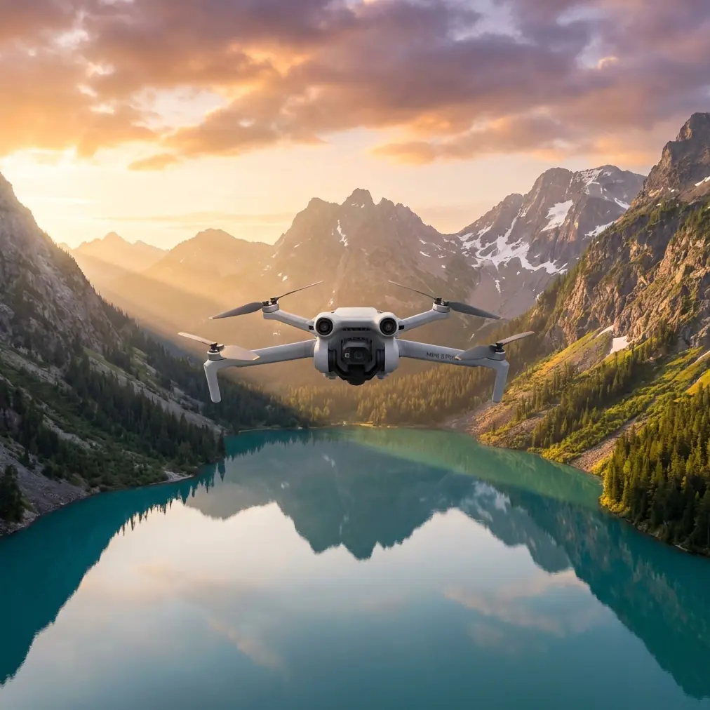
The Mini 5 Pro, on paper, appeals because it stays in the lightweight class while bringing features that matter in tight agricultural environments: obstacle avoidance, subject tracking, QuickShots, Hyperlapse options, D-Log recording, and ActiveTrack-style automation. None of those features matter by themselves. They matter when you translate them into a vineyard workflow that is safe, fast, and repeatable.
Start with the coastal problem, not the drone
In a coastal vineyard, the obvious challenge is wind. The less obvious one is visual inconsistency. Morning marine layer can soften the scene. Midday glare can wash out the tops of rows. By late afternoon, long shadows can make healthy vines look uneven.
That means your Mini 5 Pro setup should aim for consistency before creativity.
My first rule: inspect at roughly the same time of day each visit whenever possible. If you are comparing vigor, canopy density, or visible signs of irrigation drift, consistency beats cinematic variety. D-Log becomes especially useful here. Instead of letting the camera bake in a punchy look, D-Log preserves more tonal flexibility, which helps when one section of the vineyard sits under haze while another catches direct sun. For a grower or farm manager reviewing footage later, that extra grading headroom can make subtle stress patterns easier to read.
This is one of the operational details people overlook. D-Log is not just for pretty edits. In a practical inspection setting, it helps normalize difficult coastal lighting so your footage remains analytically useful across multiple flights.
Build a simple flight plan around rows and edges
For vineyard inspection, I prefer three flight layers rather than one long improvised mission.
1. The edge pass
Fly the perimeter first, especially the seaward or windward side. Coastal vineyards often show early wear at the exposed edges: broken trellis elements, uneven canopy growth, leaf stress from salt exposure, or runoff issues after wet weather. A slow perimeter pass lets you identify where the block may be under environmental pressure before you dive deeper.
Obstacle avoidance matters here more than marketing copy suggests. Vineyard edges are messy. You may have cypress windbreaks, poles, netting, utility lines, and odd elevation changes. A compact aircraft with reliable sensing gives you more confidence when tracking close to row boundaries or crossing between blocks. It does not replace pilot judgment, but it reduces the workload in cluttered spaces.
That is the second operational detail worth emphasizing. In agriculture, obstacle avoidance is not a luxury feature. It helps maintain low-altitude inspection paths near trellis lines and boundary vegetation where useful visual information actually exists.
2. The row sampling pass
Do not try to fly every row on every visit unless the block is tiny. Sample representative rows from the coast-facing side, the central block, and the most sheltered interior area. Keep altitude low enough to see canopy texture and vine spacing clearly, but high enough to maintain a stable safety margin over posts and wires.
This is where ActiveTrack can become surprisingly helpful. Not because you want to “track a subject” in the usual lifestyle sense, but because it can help maintain smooth motion along a vehicle or worker path when you are documenting a repeat route through the vineyard. If an ATV is moving between rows and you need stable contextual footage of canopy condition or access routes, subject tracking can remove some of the manual burden.
Used carefully, that means one operator can focus more attention on altitude, line-of-sight, and row spacing while the drone maintains cleaner motion.
3. The top-down pattern pass
Finish with higher overview shots to reveal block-level differences. A top-down or slightly oblique pass can show patchiness that is not obvious from ground level. You are not replacing multispectral analysis here. You are creating a visual management layer that is quicker and easier to deploy for regular checks.
Hyperlapse can be useful in this phase, but not in the way most people think. I would not use it for spectacle. I’d use it to create a time-compressed visual record of fog movement, shifting shadow lines, or activity around a block over a set interval. In coastal growing conditions, that can be useful for understanding how a marine layer lifts or how long certain rows stay shaded. Hyperlapse becomes a field observation tool, not just a social media effect.
Camera settings that help you inspect instead of just film
If your goal is inspection, detail retention matters more than “nice color” straight out of the camera.
A few priorities:
- Use D-Log when lighting is variable or harsh.
- Avoid overexposing bright soil, reflective leaves, or nearby water.
- Keep motion smooth and deliberate. Fast cinematic flyovers are usually poor inspection footage.
- Shoot short, organized clips by block and row section so the review process is manageable.
QuickShots do have a place, but a narrow one. I would use them sparingly to create standardized establishing views of each block. A repeatable orbit or pull-back from the same launch point can help document seasonal progression, vine density changes, and work completed around the site. The value is consistency. If you capture the same QuickShot-style overview every two weeks, you create a simple visual archive that managers can compare without digging through random footage.
Again, the significance is practical. QuickShots are not there to decorate the inspection. They are there to standardize a viewpoint.
The third-party accessory I’d actually bring
If I had to add one accessory that genuinely improves coastal vineyard work, it would be a high-quality variable ND filter set from a respected third-party maker such as Freewell.
Why that over something flashier?
Because coastal conditions change fast. One moment you are under thin cloud; ten minutes later the sun is reflecting off pale dust roads and the sea beyond the vines. A variable ND helps keep shutter behavior under control without constant interruption, especially when capturing D-Log footage you want to compare later. The result is more consistent motion rendering and fewer compromised clips when the light swings during a single inspection route.
For this specific use case, that accessory enhances capability in a very grounded way: it helps preserve inspection-quality footage under unstable coastal light.
A compact landing pad is also worth carrying, especially in dry vineyard terrain where dust and debris can get kicked up at takeoff. But if I am choosing one enhancement that changes the output, the ND filter wins.
A field workflow that works in under an hour
Here is the practical sequence I would use on site.
Before launch
Walk the first section. Look at wind direction, note the nearest wires, and identify any reflective hotspots from water tanks, irrigation infrastructure, or nearby coastline. If the site has workers moving through the block, establish your flight path so you are not improvising around people once airborne.
Clean the lens. In coastal areas, haze and residue build fast. Even a slight film can reduce contrast enough to hide subtle vine issues.
First battery
Use the first flight for orientation and the perimeter pass. Get the broad read on canopy consistency, edge exposure, access roads, and obvious damage.
Second battery
Fly your selected row samples. Stay disciplined. Same speed. Similar altitude. Similar angle. The more repeatable this pass is, the more useful your footage becomes over time.
Third battery if needed
Capture top-down references, one or two standardized QuickShots, and a short Hyperlapse if marine conditions or shadow movement are relevant to site management.
That structure matters because many agricultural drone sessions fail during review, not during flight. Operators return with lots of footage but no system. A simple three-layer plan fixes that.
What to watch for in coastal vineyard footage
When I review drone footage from a coastal site, I am not just looking for disease-like symptoms. I am looking for patterns.
- Are the outer rows lagging behind interior rows?
- Is canopy density changing near windbreak gaps?
- Do irrigation lines appear to correspond with lighter or darker vine sections?
- Are there repeated weak spots near drainage channels or compacted access points?
- Has salt exposure or wind stress created a visible gradient from one side of the block to the other?
A Mini 5 Pro is not replacing specialist agronomy tools. It is giving you a fast visual layer that helps decide where to walk next. That is the real value. Good drone inspection narrows the ground search.
Why a lightweight aircraft makes sense here
In vineyards, especially coastal ones with fragmented blocks and uneven access, a lightweight platform has real advantages. You can move quickly between launch points. You are less burdened by setup. You can work narrow field edges without hauling a large case and landing footprint into every row entrance.
That kind of portability tends to improve actual usage frequency. And frequency matters. A drone that flies every week is more valuable than a bigger platform that stays in storage until someone has half a day free.
For growers and managers, the best inspection aircraft is often the one that gets deployed often enough to reveal trends before they become expensive problems.
A note on tracking and autonomy
ActiveTrack and subject tracking should be used conservatively around agricultural infrastructure. I like them when documenting movement along access lanes or following a consistent path beside a utility vehicle. I do not like relying on them blindly near wires, anti-bird netting, or irregular trellis geometry.
The Mini 5 Pro’s automation features are strongest when they reduce pilot fatigue, not when they replace decision-making. That is a better way to think about autonomy in a vineyard.
If I were training a new operator
I would ask them to master three things before worrying about dramatic shots:
- Fly a straight row pass at constant altitude.
- Repeat the same perimeter route on two different days.
- Capture D-Log footage that remains usable under mixed cloud and sun.
If they can do those three well, they are already producing material that supports vineyard management.
Anything beyond that is secondary.
One simple communication habit that helps
After each session, send a short summary with labeled clips by block, edge condition, and any anomalies worth a ground check. If you want a quick way to coordinate field notes and footage requests during the season, a direct vineyard inspection chat works well, especially when teams are moving between sites.
The real strength of the Mini 5 Pro in vineyards
For coastal vineyard inspection, the Mini 5 Pro makes sense when used as a disciplined observation tool. Obstacle avoidance supports safer low-altitude work near trellis lines and boundary trees. D-Log helps preserve usable image information under haze, glare, and hard contrast. ActiveTrack and subject tracking can smooth repeatable route documentation when used with restraint. QuickShots and Hyperlapse become valuable once you stop treating them as novelty modes and start using them to standardize perspective and record environmental changes.
That is the thread connecting all of these features: repeatability.
If your drone flights produce the same useful views, under roughly the same conditions, at regular intervals, you begin to see the vineyard as a system rather than a collection of isolated issues. That is when aerial inspection starts earning its place in the workflow.
Ready for your own Mini 5 Pro? Contact our team for expert consultation.