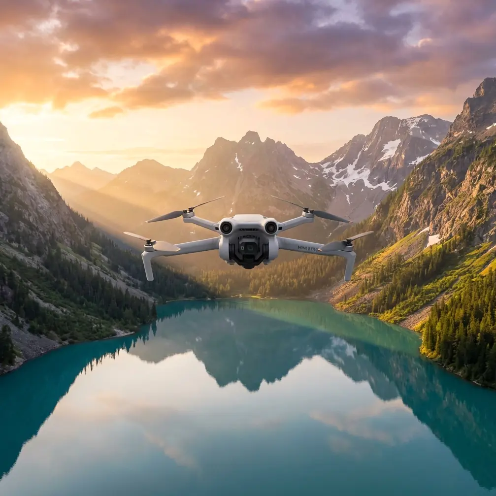
Mini 5 Pro for Mountain Venue Inspection
Mini 5 Pro for Mountain Venue Inspection: What Actually Matters in the Workflow
META: A technical review of how Mini 5 Pro fits mountain venue inspection, with practical flight altitude guidance and a mapping workflow built around orthomosaics, DEMs, point clouds, and 3D models.
Mountain venue inspection sounds simple until you try to do it well.
A ridge-top event site, a scenic platform, a mountainside access road, or a terraced leisure complex all create the same problem: the terrain itself interferes with your data. Elevation changes distort scale, cliffs hide surfaces, and long access routes make repeatable inspections hard if your capture method is inconsistent. For a pilot or site manager considering the Mini 5 Pro, the real question is not whether the aircraft can fly in the mountains. It is whether the data coming out of that flight can support inspection decisions without forcing a heavy post-processing burden.
That is where the reference material becomes more interesting than it first appears. The mining-monitoring solution behind it is not about consumer flying at all. It is about what happens after image capture: aerial triangulation, bundle adjustment, orthomosaic generation, DEM output, dense point cloud creation, and true 3D modeling. Those steps matter just as much for mountain venue inspection as they do for industrial terrain analysis. In some cases, more.
As a photographer, I tend to look at the Mini 5 Pro from two angles at once. First, can it gather visually reliable footage in a difficult environment? Second, can that imagery feed a serious inspection workflow instead of ending as a pretty clip no one can measure from later? If your job involves checking slope-side infrastructure, visitor pathways, retaining walls, rooflines, drainage channels, viewing decks, cable runs, or landscape deformation around a venue, that second question is the one that decides whether the flight was useful.
Why mountain inspections demand more than “good video”
Mountain venues punish shallow workflows.
A cinematic pass at sunrise may reveal surface condition in broad terms, but inspection teams usually need outputs they can compare, annotate, and revisit. The source material highlights a software chain centered on Pix4Dmapper functions such as drone-optimized aerial triangulation and regional bundle adjustment, orthomosaic export in GeoTIFF, DEM export in GeoTIFF and TXT, point cloud output in PLY and TXT, as well as automatic accuracy reports. Those are not abstract software checkboxes. They define whether imagery becomes evidence.
For mountain inspection, two of those details deserve special attention.
First: DEM generation. A digital elevation model is operationally significant because mountain venues are shaped by grade. Water runoff, slope creep, edge stability, and access safety all depend on elevation differences. If your inspection output includes a DEM in a standard format like GeoTIFF or TXT, the site team can compare terrain states over time rather than relying on memory or isolated photos.
Second: automatic accuracy reporting. In hilly terrain, image geometry can fail quietly. Variable relief changes overlap quality and can introduce positional weakness in certain sections of a flight. An automatically generated accuracy report gives the operator a fast way to judge whether a dataset is solid enough for decisions or whether another pass is needed over a problematic zone. For venue managers, this saves time. For service providers, it protects credibility.
That is why the Mini 5 Pro should not be evaluated only through the usual talking points like obstacle avoidance, ActiveTrack, or QuickShots, even though those features are helpful. In mountain work, the aircraft is one half of the system. The deliverable is the other half.
The Mini 5 Pro use case that makes sense here
For a mountain venue inspection scenario, the Mini 5 Pro sits in an interesting middle ground.
It is light enough to deploy quickly from a constrained lookout, terrace, or mountain access point. It is also suited to repeated short flights where the goal is not full-scale corridor surveying but targeted inspection of built and natural features around a venue. That includes:
- visitor circulation paths along slopes
- upper and lower platform connections
- parking and access roads cut into terrain
- drainage channels after heavy weather
- roof and facade condition on hillside buildings
- retaining structures and edge barriers
- landscaping shifts around embankments
- event setup verification before public opening
Here, obstacle avoidance matters because mountain venues often combine natural and man-made vertical hazards: trees, cables, rock faces, stair towers, signs, pavilions. Subject tracking and ActiveTrack can help when documenting moving maintenance teams or utility carts along winding paths, though I would still treat tracking as a secondary convenience rather than the core mission tool. Inspection is about controlled coverage, not chasing motion.
QuickShots and Hyperlapse are less central, but they are not useless. A Hyperlapse made from a fixed repeated route can provide a visual record of crowd-flow readiness or weather movement over the site. QuickShots, while designed for fast visual storytelling, can help produce a rapid orientation package for stakeholders who need to understand terrain context before reviewing the technical outputs.
D-Log is especially relevant if the venue has harsh contrast. Mountain light is rarely even. You get bright sky, reflective rock, shaded paths, and dark tree cover in one frame. A flatter capture profile preserves more flexibility for post review, which helps when inspectors need to read surface condition in both sunlit and shadowed areas.
Optimal flight altitude for mountain venue inspection
This is where many pilots get into trouble: they choose a single altitude and assume it means the same thing everywhere.
In mountain terrain, it does not.
For inspecting venues in the mountains with a Mini 5 Pro, the most practical approach is to think in terms of height above the local surface, not just height relative to takeoff point. In most venue inspection cases, an effective working range is 30 to 60 meters above the target area. That is the sweet spot where you usually retain enough detail for inspection while still covering a useful footprint per image.
At around 30 to 40 meters above local ground, you are better positioned for:
- surface condition checks on paths, decks, and retaining features
- facade and roof inspection on hillside buildings
- dense overlap capture for 3D reconstruction
At around 50 to 60 meters above local ground, you gain:
- faster contextual mapping of the full venue layout
- stronger terrain readability across connected access routes
- more efficient orthomosaic generation for broad area review
The key phrase is “above local ground.” If you launch from a high overlook and fly outward over a descending slope while holding one constant barometric altitude, your actual separation from the ground increases quickly. That reduces detail and weakens reconstruction quality on lower sections. The opposite happens when rising terrain approaches the aircraft. Suddenly obstacle avoidance becomes critical, and your planned overlap may collapse if you are forced into evasive path changes.
For that reason, mountain venue inspection works best when the operator breaks the site into terrain-aware segments. Do not fly the entire mountain complex like one flat field.
How the reference workflow maps onto Mini 5 Pro inspections
The reference solution includes three software concepts that fit this mission unusually well: Pix4Dmapper, DP-Smart, and DP-Modeler.
1. Pix4Dmapper for measurable outputs
The listed capabilities include:
- drone-optimized aerial triangulation and regional bundle adjustment
- orthomosaic output as GeoTIFF
- dense point cloud generation
- ground control point editing
- DEM export in GeoTIFF and TXT
- point cloud export in PLY and TXT
- 3D model export in OBJ
- mosaic editing tools
- rapid processing mode
- automatic accuracy report generation
For a Mini 5 Pro inspection team, this means one flight can produce multiple layers of value.
The orthomosaic gives a top-down, positionally organized base map of the venue. That helps staff check path continuity, staging layout, drainage traces, and visible damage zones.
The point cloud is where the site starts becoming spatially analyzable. In mountain environments, that is useful for understanding slope form, edge geometry, and height differences around structures.
The 3D model in OBJ adds communication power. Engineers, planners, and venue operators often read problems faster in 3D than in a stack of stills.
And the rapid processing mode matters more than many people realize. Mountain venues are often weather-sensitive. If wind, fog, or incoming rain is closing in, getting a quick preliminary processing result can tell you whether you have enough coverage before conditions deteriorate further.
2. DP-Smart for fully automated true 3D modeling
The source describes DP-Smart as a fully automated system for generating high-resolution true 3D models with no manual intervention, based on photogrammetry, computer vision, and computational geometry. It supports fully automatic aerial triangulation, dense point cloud generation, TIN construction, and automatic texture mapping.
That matters operationally because mountain venues are messy. Terraces, stepped landscaping, railings, roofs, stairways, and vegetation all complicate manual modeling. A workflow that can automatically build a high-resolution true 3D model reduces the labor cost between capture and decision-making.
The mention of TIN construction is especially relevant in mountain contexts. Triangulated irregular networks are well suited to uneven terrain because they represent surface variation more naturally than simplistic flat assumptions. If you are documenting grade transitions, embankments, or cut-and-fill areas around a venue, a terrain-sensitive model structure is not a technical luxury. It is the difference between seeing the site and actually understanding it.
3. DP-Modeler for direct work on oblique imagery
The reference also describes DP-Modeler as an integrated oblique-photography modeling and mapping tool, allowing interactive individual-feature modeling directly on oblique images, with one-click texture mapping and support for large-scale vector mapping in a real-scene photogrammetry environment.
This is exactly the kind of capability that makes oblique capture from a Mini 5 Pro more than an aesthetic choice.
Oblique imagery is valuable in mountain venues because vertical and near-vertical surfaces matter: retaining walls, guardrails, facade lines, stair risers, drainage outlets, signage supports. A nadir-only map misses too much of that. With interactive feature modeling directly on oblique imagery, teams can extract more precise structural understanding from flights that were already needed for visual inspection.
Practical capture strategy for the Mini 5 Pro in this scenario
If I were planning a mountain venue inspection with the Mini 5 Pro, I would not rely on one flight profile.
I would use a three-part approach:
Pass 1: High-context overview
Fly at roughly 50 to 60 meters above local terrain where safe and legal. This gives the broad site relationship: access roads, drainage paths, venue boundaries, and slope context.
Pass 2: Mid-altitude mapping block
Work closer, around 35 to 45 meters above local ground, with consistent overlap for orthomosaic, DEM, and point cloud generation. This is the backbone dataset.
Pass 3: Oblique detail runs
Capture targeted angled imagery of retaining walls, roof edges, terraces, facades, and any suspected deformation zones. This supports the kind of oblique modeling workflow described in DP-Modeler.
If a team needs help structuring that capture plan around terrain variation, a quick field coordination chat can save a wasted sortie; I usually recommend sharing route sketches and elevation notes in advance through this direct planning link.
Where the Mini 5 Pro fits—and where discipline still matters
A capable drone does not cancel terrain complexity.
Obstacle avoidance helps when the mountain site closes in unexpectedly. ActiveTrack can support dynamic documentation. D-Log can preserve difficult contrast. But the quality of a venue inspection still comes down to route planning, overlap control, altitude discipline, and what software pipeline is waiting at the end.
That is what the reference material quietly gets right. It frames drone inspection not as flying, but as transformation of imagery into structured outputs: GeoTIFF orthomosaics, DEMs, PLY point clouds, OBJ models, and automated accuracy checks. For mountain venues, that is the real standard. A Mini 5 Pro flight should leave behind something the operations team can verify, compare, and act on.
The strongest reason to consider the Mini 5 Pro for this kind of work is not that it makes mountain inspection look easy. It is that, with the right workflow, it makes mountain inspection repeatable.
And in venue management, repeatability is what turns a one-off flight into a real inspection program.
Ready for your own Mini 5 Pro? Contact our team for expert consultation.