Expert Inspecting with Mini 5 Pro in Remote Water Infrastruc
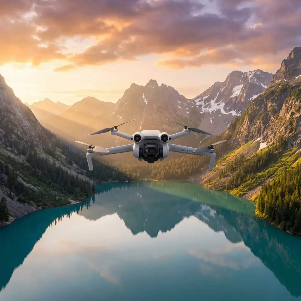
Expert Inspecting with Mini 5 Pro in Remote Water Infrastructure
META: A practical Mini 5 Pro workflow for remote venue inspection, flood and drought monitoring, dam observation, and shoreline survey using real water-management field requirements.
Remote inspection gets difficult the moment the site stops behaving like a normal work zone.
A riverside embankment after heavy rain is unstable. A reservoir edge may be muddy, steep, and unsafe to walk. Coastal strips and small islands look manageable on a map, then turn into a patchwork of broken terrain, tidal shifts, and awkward access points once a team arrives. In water-management work, the real problem is rarely just “getting images.” It is getting reliable visual intelligence fast enough to support a decision.
That is where a compact aircraft like the Mini 5 Pro becomes surprisingly useful.
The reference material behind this piece comes from a water conservancy UAV solution focused on flood control, drought response, dam safety monitoring, hydrological observation, and coastal or island surveying. Read closely, and a clear operational pattern appears: the aircraft matters less as a camera toy and more as a rapid information node. It reaches difficult areas quickly, observes from above, relays imagery in real time, and reduces the need to send personnel into risky ground conditions. That logic maps neatly onto how I would deploy a Mini 5 Pro for remote inspection today.
Why the Mini 5 Pro fits remote inspection better than larger platforms in some jobs
When people think about infrastructure inspection, they often jump straight to heavy enterprise systems. Those certainly have their place. But in many remote venue scenarios, speed of deployment and ease of access decide whether useful data is collected in the first hour.
The source document repeatedly emphasizes fast arrival to the affected area and quick execution. That is not a minor convenience. During flood monitoring, the ability to launch quickly and view terrain, reservoirs, embankments, and dangerous dam or levee sections from above can shape emergency dispatch and on-site coordination. A small folding platform like the Mini 5 Pro is ideal when the team needs to move from vehicle to launch site with minimal friction.
Its size changes behavior. Teams are more likely to bring it, more likely to launch it, and more likely to use it for repeat checks through the day.
That last point matters because the source also highlights continuous monitoring of developing hazards. A single aerial snapshot is useful. A time-based sequence of flights over the same breach point, intake zone, or river edge is far more valuable. With the Mini 5 Pro, a field crew can perform frequent short sorties rather than wait for a larger operation window.
A practical Mini 5 Pro workflow for flood inspection
If I were inspecting a remote flood-affected venue with the Mini 5 Pro, I would structure the mission around three outputs: situational awareness, risk localization, and decision support.
Step 1: Start high and wide
The reference notes that UAVs are used to overlook flood-zone terrain, landforms, reservoirs, dikes, and hazardous engineering sections, while transmitting information in real time. That means your first pass should not chase pretty footage. It should establish the geography of the incident.
Launch from a safe offset position. Climb to a height that reveals drainage direction, access roads, water spread, damaged edges, and any choke points. This is where D-Log can be useful if the light is harsh and you expect to pull details from highlights and shadows later, but the live viewing feed matters more than post-production polish in the first phase.
Use the Mini 5 Pro’s obstacle avoidance conservatively, not as an excuse to fly aggressively. In flood zones, wires, branches, spray, and terrain contrast can all create complexity. Obstacle sensing helps, but it does not replace disciplined line planning.
Step 2: Mark critical structures
The source specifically calls out reservoirs, embankments, and dangerous sections of levees or hydraulic works. Those are not generic landmarks. They are structural priorities.
Once the broad survey is complete, move into targeted inspection runs:
- embankment crest lines
- erosion on outer slopes
- washout points near access paths
- debris buildup near culverts or spill channels
- seepage patterns or abnormal wet areas
The operational significance is simple: flood response teams do not just need to know that water is present. They need geographic context tied to vulnerable assets. A Mini 5 Pro flight that isolates a weak embankment section is more useful than ten cinematic passes over open water.
Step 3: Repeat flights for trend confirmation
One of the strongest details in the reference is sustained monitoring of evolving danger. That should shape your battery strategy. Instead of one long all-purpose flight, run shorter repeatable missions from the same launch point and heading. Save the same route pattern, altitude bands, and camera angles where possible.
Hyperlapse is not only for creative output. Used thoughtfully, interval-based repeat imaging can help a team visualize waterline movement or debris migration over time. It is not a substitute for formal survey products, but it can make trend communication faster during field briefings.
Drought inspection is a different mission, but the same aircraft helps
The source shifts from flood monitoring to drought assessment and damage verification, noting that UAVs can quickly inspect water-scarce areas, reduce the need for people to enter fields, and help teams understand water source reserves for scientific reservoir scheduling and drought-response planning.
That is a very different use case from a flood event, yet the Mini 5 Pro still fits.
In drought inspection, I would prioritize route efficiency and visual comparability. Fly canals, ponds, feeder channels, agricultural edges, and reservoir margins on repeat tracks. The point is not just to capture that “water is low.” The point is to compare sections and support allocation decisions.
A compact drone is especially valuable here because crews often need to inspect multiple dispersed points in one day. Large systems add setup burden. The Mini 5 Pro can move quickly between sites and collect enough visual evidence for field-level decision support.
There is another operational benefit embedded in the source: avoiding unnecessary human entry into fields and difficult terrain. That matters for safety, but also for time. If the inspection target is remote farmland or muddy shoreline around low water storage areas, every avoided foot approach saves effort and reduces exposure.
Dam safety monitoring: why hover stability and live transmission matter
The reference makes a very specific point about dam inspection: a rotary-wing UAV can hover in place and monitor the dam’s water inlet and outlet areas in real time, while image transmission equipment sends the live aerial data back to the ground station.
This is exactly the kind of detail remote inspectors should pay attention to.
A dam is not always best inspected through sweeping motion. Sometimes the most useful perspective is a stable hover over a single hydraulic zone. Inlet and outlet structures are visually dense environments. You may need to observe flow behavior, debris patterns, wall conditions, gate surroundings, and nearby turbulence without constantly reframing.
That is where the Mini 5 Pro’s controlled hover and stabilized imaging become more important than raw speed.
My preferred method would be:
- Establish a safe stand-off position.
- Make one broad contextual pass of the full dam face or relevant section.
- Transition to hover-based observation of inlet and outlet zones.
- Record short, labeled clips rather than one long video file.
- Send key frames and live observations to the decision-maker on the ground.
The source’s focus on real-time return to the ground station has operational significance beyond convenience. In remote venues, the pilot often is not the person making the infrastructure decision. The faster imagery moves from aircraft to field supervisor, engineer, or water-control coordinator, the faster they can determine whether to dispatch a repair team, restrict access, or continue observation.
If you are building a lightweight Mini 5 Pro kit for this type of work, a high-bright monitor accessory or third-party sunhood for the controller can make a real difference. It sounds trivial until you are trying to interpret inlet turbulence or wall staining under bright midday glare. One of the best upgrades I have seen in the field is a third-party tablet mount with a brighter external display setup. It does not change the aircraft, but it can dramatically improve confidence in what the team is actually seeing.
Hydrological monitoring along rivers and reservoirs
The source also mentions rapid real-time monitoring of hydrological targets, quick patrols of upstream and downstream river sections, and inspection of reservoir-edge areas where the environment is difficult.
This is classic remote venue work.
For river corridors, the Mini 5 Pro’s value lies in being able to run linear reconnaissance without heavy logistics. I would break a river inspection into segments:
- upstream approach
- central control point
- downstream discharge behavior
- side-bank anomalies
- pollution indicators or unusual discoloration
The reference explicitly mentions large-area river pollution patrols. That matters because not every inspection request is structural. Sometimes the problem is environmental. A small drone with strong image quality and stable flight can cover long visual strips quickly enough to identify suspicious surface patterns, discharge points, vegetation stress, or debris concentrations.
ActiveTrack and subject tracking are not central tools in static infrastructure work, but they can be useful when inspecting moving support assets such as work boats or when maintaining visual continuity on a drifting object during surface monitoring. Used carefully, they reduce pilot workload in niche cases. Still, manual control should remain the default around water structures.
Coastal and island inspection: where preplanned routes become essential
One of the richest parts of the source concerns coastal zones and islands. It notes that these environments are difficult because features are fragmented, contrast is low, conditions are highly dynamic, and tides can change suddenly. It also points out that shorelines are often winding, target zones may be small and scattered, and manual measurement or island access is difficult. The UAV solution highlighted there uses prewritten GPS coordinate points for automatic flight through the monitoring route.
That deserves attention because it translates directly into a high-value Mini 5 Pro method: preplanned repeatable route flying.
If you are inspecting a remote coastal venue, do not improvise the whole mission in the air. Build route logic before takeoff:
- define shoreline segments
- set waypoints around bends and inlets
- establish overlap for visual comparison
- reserve hover points over erosion-prone edges
- separate high-tide and low-tide mission templates
The source’s mention of GPS-based automated flight is operationally significant because consistency is what makes monitoring credible. A shoreline flown roughly the same way each visit becomes far easier to compare over time. That supports erosion checks, fill activity observation, access-path change detection, and vegetation edge tracking.
QuickShots are not the main tool here, but an orbit or dronie-style automated pattern can occasionally help document an isolated feature such as a detached structure, intake station, or rocky island perimeter with consistent geometry. Use them as documentation tools, not as visual garnish.
A field kit philosophy for the Mini 5 Pro
Remote inspection success is usually decided before the motors start.
My Mini 5 Pro kit for water-related venue inspection would include:
- extra batteries for repeat monitoring cycles
- a landing pad for muddy or sandy environments
- ND filters for maintaining image clarity in bright reflective conditions
- a third-party controller sunshade or bright monitor setup
- propeller spares
- weather-aware takeoff checklist
- annotated site map or preloaded waypoint plan
If you are refining your own inspection setup and want a practical second opinion on accessories and field workflow, this direct WhatsApp channel for Mini 5 Pro operators is a sensible place to compare notes.
The accessory piece is worth stressing. In remote inspection, the “best” add-on is not the flashiest one. It is the one that improves repeatability, readability, and safe deployment. A simple landing pad may save your gimbal from sand. A better display mount may help the team catch an anomaly during a live hover that would otherwise be missed.
What makes this approach credible
The reason this Mini 5 Pro workflow works is that it mirrors real water-management drone logic from the reference material rather than forcing a consumer drone into an unrelated role.
Two source details stand out.
First, the document stresses rapid arrival and real-time aerial observation of flood zones, including terrain, reservoirs, dikes, and dangerous sections. That tells us the mission priority is timely geographic intelligence, not cinematic capture. The Mini 5 Pro’s compact deployment model directly supports that.
Second, the dam-monitoring section specifically emphasizes rotary-wing hovering over water inlet and outlet zones, with live imagery sent back to the ground station. That tells us stable station-keeping and immediate image relay are mission-critical. Again, that suits a small, stabilized multirotor used with disciplined live-review procedures.
Add the coastal section’s GPS route concept, and a broader picture emerges: repeatable flights, difficult access, changing water environments, and the need to reduce unnecessary human exposure in the field. Those are exactly the conditions where a well-run Mini 5 Pro operation can earn its place.
The aircraft is only part of the answer. The method is what turns it into an inspection tool.
Ready for your own Mini 5 Pro? Contact our team for expert consultation.