Mini 5 Pro for High-Altitude Highway Inspection
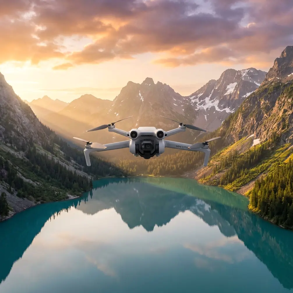
Mini 5 Pro for High-Altitude Highway Inspection: What Actually Matters in the Field
META: A technical review of Mini 5 Pro best practices for high-altitude highway inspection, including antenna positioning, obstacle avoidance, ActiveTrack limits, D-Log workflow, and range-preserving flight setup.
High-altitude highway inspection pushes a small drone into a job that exposes every weak habit a pilot can have. Wind gets less forgiving. Terrain interferes with line of sight. Long concrete corridors tempt you to fly farther than your link margin really allows. And if you are documenting retaining walls, bridge approaches, lane deformation, drainage cuts, or rockfall exposure, you need footage that is stable, repeatable, and easy to review later.
That is where the Mini 5 Pro becomes interesting.
Not because a compact aircraft suddenly replaces a larger enterprise platform in every scenario. It does not. But for teams and independent operators who need fast deployment, low logistical burden, and strong imaging tools in a portable format, the Mini 5 Pro sits in a very practical middle ground. Used correctly, it can produce inspection footage that is far more useful than many pilots expect. Used carelessly, it can leave you with weak telemetry, inconsistent framing, and footage that looks cinematic but fails an engineering review.
This article focuses on one specific use case: inspecting highways at elevation. The goal is not to glorify features. The goal is to explain which Mini 5 Pro capabilities actually matter when the road is carved into a ridge, the shoulder is narrow, and your control link depends as much on antenna discipline as aircraft technology.
Why highway inspection at altitude changes the equation
A highway corridor at high altitude is not just “another long linear mission.” It creates a combination of operational stresses that hit a compact UAV hard.
First, the terrain itself can block signal even when the aircraft seems visually close. A road may snake around cuts, disappear behind embankments, or run beneath a rising slope. If you allow the aircraft to drift into a geometric blind zone, range collapses quickly. Second, wind is often uneven. You can launch in calm air and meet a different story thirty or forty meters above your takeoff point. Third, lighting shifts fast. Mountain shadows move across pavement and concrete surfaces, which matters if you are trying to compare crack progression or water staining from one pass to the next.
These realities make several Mini 5 Pro talking points unusually relevant: obstacle avoidance, ActiveTrack-style subject tracking, D-Log capture, and intelligent flight modes like QuickShots or Hyperlapse. Not because all of them are equally useful, but because operators often misunderstand where each one helps and where it introduces risk.
Obstacle avoidance is useful, but not a substitute for route design
Let’s start with obstacle avoidance. On paper, this is one of the most reassuring features for inspection pilots moving along barriers, sign structures, cut slopes, and bridge edges. In practice, obstacle sensing on a small UAV is best treated as a backup layer, not a mission plan.
On a mountain highway, the most dangerous obstacles are not always clean vertical objects. They are irregular surfaces: netted rock faces, thin cables, reflective signage, sparse branches, and terrain contours that create false confidence. Obstacle avoidance can help when you are creeping along a retaining wall or adjusting position around a gantry, but it does not remove the need to pre-visualize the route. That is especially true when flying parallel to a road where you may also be managing lateral drift from crosswinds.
The operational significance is simple: if your inspection method depends on the drone “seeing” hazards before you do, your margins are too thin. The Mini 5 Pro is at its best when obstacle avoidance supports a conservative line, not when it is asked to rescue an aggressive one.
For highway work, a better pattern is to fly offset from the target and use consistent side-looking passes where possible. That gives the sensors a cleaner environment and gives you more reaction time. It also produces footage that is easier to compare later.
ActiveTrack and subject tracking sound attractive, but road inspection is not a chase scene
The Mini 5 Pro feature set often gets discussed with terms like subject tracking and ActiveTrack. Those tools have obvious appeal. A vehicle can be followed. A patrol car can lead the route. A moving survey reference can keep the camera aligned.
But for infrastructure inspection, automated tracking is often useful only in narrow situations.
If your objective is condition assessment, the road itself is the subject, not a moving object. Tracking a vehicle can be helpful for contextual B-roll or convoy documentation, yet it can also pull framing away from defects you actually need to evaluate. On winding roads at elevation, ActiveTrack-style behavior may also encourage the aircraft to make path decisions that are fine for content capture and less ideal for disciplined inspection geometry.
That matters more than it sounds. A cracked shoulder, blocked culvert outfall, or spalling parapet needs consistent viewing angle and predictable motion. If the aircraft is prioritizing a moving subject, you lose repeatability. In other words, subject tracking is operationally significant mostly when your mission includes movement analysis or escort footage. For defect documentation, manual line control usually wins.
The Mini 5 Pro still benefits from these tools, just not in the way many users assume. They are best used selectively to reduce pilot workload during non-critical segments, then disengaged when exact framing and pace matter.
D-Log is one of the most underrated tools for inspection review
For highway inspection, D-Log is not just for colorists. It is a practical recording choice when you expect harsh contrast.
A high-altitude route can present bright pavement, dark drainage channels, reflective guardrails, shadowed cuts, and pale concrete in one scene. Standard color profiles can clip highlights or crush shadow detail sooner than you want. D-Log gives you more room to recover tonal detail during review, which can help when you need to inspect runoff staining, patch transitions, edge breakdown, or material separation along a wall.
This is where a lot of pilots make a mistake. They think D-Log is only worth using if the final output is a polished video. Not true. For technical review, it can preserve more information across mixed light, especially when mountain conditions shift rapidly over a single flight window.
The caveat is workflow discipline. If your team cannot process and archive log footage consistently, you may create unnecessary friction. But if you already review imagery in a controlled pipeline, D-Log becomes more than a creative feature. It becomes a documentation advantage.
QuickShots and Hyperlapse: useful for context, weak for primary inspection evidence
QuickShots and Hyperlapse are often filed under “content creator tools,” but they do have limited operational value in highway work.
A Hyperlapse sequence can show traffic behavior, moving shadows, weather buildup, or the way fog collects in a cut section over time. QuickShots can provide orientation footage that helps a remote stakeholder understand the layout of an interchange, slope, or bridge approach.
Still, these modes should not be mistaken for primary inspection capture. Their motion patterns are designed around visual storytelling, not measurement consistency. They are excellent supplements. They are not the backbone of a defensible inspection record.
The best use case is to capture one or two establishing sequences after the core flight is complete. That way, you preserve your battery and concentration for the real work first. Once the defect passes, oblique sweeps, and reference stills are secured, then a Hyperlapse can add environmental context. Keep the order straight.
Antenna positioning is the range skill that saves more flights than pilots admit
If there is one field habit that deserves more attention in high-altitude highway work, it is antenna positioning.
Pilots talk a lot about maximum range. Too few talk about maintaining a clean control link in imperfect terrain. Those are not the same thing.
For the Mini 5 Pro, the controller antennas should not be pointed directly at the aircraft like a flashlight. The broad side of the antenna pattern needs to face the drone. That means adjusting the controller so the aircraft sits in the strongest portion of the radiation pattern rather than the weak end. In practical use, many pilots improve signal quality simply by changing controller orientation before they ever move their feet.
Operationally, this is huge. A highway mission often stretches along a corridor, and the aircraft may be only a modest distance away when terrain or body position starts degrading the link. If you are standing with your torso between controller and aircraft, or if you are aiming the antenna tips at the drone, you are quietly giving away margin.
A few habits help:
- Face the aircraft squarely whenever possible.
- Keep the controller high enough that your body is not shielding it.
- Reposition yourself along the road instead of forcing the aircraft farther into a poor angle.
- Treat bends, cut slopes, and bridge abutments as signal hazards, not just visual hazards.
- Do a brief signal check after each major directional change.
This is one of those areas where pilot technique matters more than marketing language. If you want a clean feed and stable command response, antenna orientation is not optional trivia. It is part of the mission setup.
If your team wants a more tailored workflow discussion for corridor operations, this direct field support channel can help: message us here.
High-altitude battery management is about reserve, not ambition
The Mini 5 Pro may be efficient, but highway inspection at elevation eats into margins faster than many pilots expect. Wind, climb, hover adjustments near structures, and repeated reframing all add up. The trap is obvious: a road looks linear and manageable, so the pilot keeps pressing outward.
That is the wrong mindset.
For this kind of mission, battery planning should revolve around return authority, not maximum coverage. The outbound leg is the easy part. The real question is whether the aircraft can come back against deteriorating wind without forcing a rushed descent path near traffic or terrain.
A useful discipline is to divide each sortie into fixed objectives rather than distance targets. For example: one pass for wide context, one pass for defect detail, one still-image segment, then return. That method prevents “just a little farther” decision-making and creates consistent data packages from flight to flight.
Camera discipline matters more than resolution specs
When pilots discuss compact drones, the conversation often gets trapped in spec-sheet thinking. For inspection, framing discipline usually matters more.
A Mini 5 Pro flown at a consistent offset, speed, and gimbal angle produces footage that reviewers can trust. A technically better sensor flown inconsistently often does not. This is especially true for highways, where you may be comparing expansion joints, barrier alignment, drainage flow paths, or shoulder edge conditions across multiple dates.
If the goal is useful evidence, build repeatable shot grammar:
- Wide establishing pass
- Medium lateral pass
- Close defect pass
- Overhead or near-overhead confirmation where safe and legal
- Static stills for key anomalies
That is how a compact UAV becomes genuinely valuable on infrastructure jobs.
Where the Mini 5 Pro fits honestly
The Mini 5 Pro is a strong option for rapid highway inspection support when access is difficult and the task benefits from mobility. It is particularly effective for preliminary assessments, follow-up visual checks, and documenting locations where sending a ground team onto a narrow shoulder would be slower or less safe.
It is less ideal when your operation requires heavy wind authority, specialized payloads, or formal sensor redundancy beyond what a compact prosumer aircraft is designed to provide. That distinction matters. Smart operators do not ask one aircraft to be everything.
What they do ask is whether the tool can reliably capture the information needed for the job at hand. In many high-altitude highway scenarios, the answer is yes, provided the pilot respects the fundamentals: conservative routing, manual control when precision matters, thoughtful D-Log use, and disciplined antenna positioning for maximum range and link stability.
That last point is the one I would emphasize most. Obstacle avoidance can reduce stress. ActiveTrack can help in selective moments. QuickShots and Hyperlapse can enrich context. D-Log can preserve detail under ugly mountain light. But none of those features rescue a weak signal strategy.
On a highway shoulder above the valley floor, range is not a bragging right. It is a function of geometry, orientation, terrain, and judgment. The Mini 5 Pro rewards pilots who understand that.
Ready for your own Mini 5 Pro? Contact our team for expert consultation.