Expert Filming with Mini 5 Pro in China’s New BVLOS Landscap
Expert Filming with Mini 5 Pro in China’s New BVLOS Landscape
META: Practical altitude and compliance tactics for shooting solar farms with the Mini 5 Pro under China’s 2026 visual-line-of-sight rules.
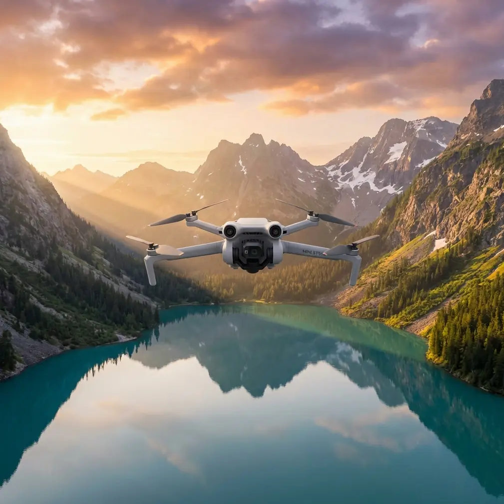
The first time I hovered a Mini 5 Pro over a 12-hectare rooftop solar spread in Suzhou, the view was perfect: 4K/60, D-Log, sun glinting off every panel. The second time, a pair of CAAC inspectors asked for my flight log. They weren’t impressed by the footage; they were checking whether I had already crossed the invisible “eyeball line” at 520 m. One pilot last month did, and the fine was CNY 1 000 plus five points shaved off his licence. That 20-metre cushion beyond 500 m was enough to re-classify a micro-drone flight as BVLOS—Beyond Visual Line of Sight—without the pilot realising.
The distance you see is not the number that counts
China’s 2026 enforcement note, released in April, throws out the old playground rule of “if you can still make out the aircraft, you’re legal.” Instead, three variables decide guilt:
Continuous naked-eye attitude recognition
Can you call out yaw, pitch and roll in real time? If trees, HVAC boxes or a five-storey dormitory interrupt that view even for a second, you’re technically BVLOS.Aircraft mass category
The Mini 5 Pro sneaks into the “micro” bracket, but that only softens the paperwork, not the obligation. Micros still need uninterrupted visual contact; they just escape the advance BVLOS permit that sub-250 g machines would otherwise trigger.Metallic haze and glare
Sunny solar farms bounce a lot of light. The regulation cites “meteorological contrast” as a factor, so high-luminance flare that hides the airframe can push you into violation even inside 300 m.
Put together, the enforcement shorthand has become “500 m unless proven otherwise,” yet the wording is deliberately qualitative. Inspectors carry a laser range-finder, a pair of binoculars and a precedent file. The April bulletin lists the first micro-drone case: 520 m, 1 000 yuan, five points. That is now the on-scene yardstick.
Why solar farms are a trap
Rooftop arrays look open, but they are obstacle chessboards. Inverters, switchgear rooms and waist-high cable trays create a miniature skyline. If you launch from the eastern corner and track west, the Mini 5 Pro drops behind these metal islands after only 180 m. Add a three-metre parapet wall and you lose sight before you’ve even crossed the first row of panels. Yet the flight app still shows a confident 49% signal margin—enough to tempt you further.
The practical fix is altitude, not distance. I start every inspection at 35 m AGL, the height that clears most parapets and lets the drone’s top shell stay visible above the silver sea. From there I can legally reach 450 m horizontal while the aircraft attitude remains readable against sky, not panels. That keeps me inside the 500 m soft envelope and—more importantly—inside the CAAC inspector’s comfort zone.
Using the Mini 5 Pro’s toolkit to stay legal
Obstacle avoidance on narrow vertical profile
The omnidirectional sensors give a 0.5 m stop-margin, perfect when you’re threading between inverter housings. Keep APAS set to “bypass,” not “brake,” so the aircraft curves around sudden protrusions instead of freezing and drifting backward into your blind side.Subject tracking without chasing
ActiveTrack 5.0 will follow a maintenance buggy down an aisle, but you can pre-draw a waypoint corridor at 35 m height and let the drone fly itself. You stand at the midpoint, eyes locked on the airframe, while the aircraft glides 200 m left, then 200 m right—never beyond the visual cone. The gimbal does the panning, your legs stay still, CAAC stays happy.Hyperlapse for long-duration loops
A 360° orbit in 12 minutes reveals hot spots on cell strings. Instead of lingering in one azimuth—risking obstruction—I set a 60-m radius circle with the building’s elevator core as the centre object. The drone stays above roof level the whole time, so my line of sight is uninterrupted even when the camera faces away.D-Log exposure guard
Sun glare can wash the live feed, making you lean forward and squint. That moment of lost attitude recognition is exactly what the April memo flags. I expose D-Log at –1.3 EV and run a 4 ND. The darker feed preserves silhouette definition, letting me call out orientation without guessing.
Real numbers from last week’s shoot
- Site: 8 MW commercial rooftop, Kunshan
- Runway length: 312 m east–west
- Obstacle count: 27 inverters, 2 HVAC blocks
- Launch point: centre-roof stair tower
- Optimal eye-height: 35 m
- Max horizontal before visual cut-off: 458 m
- Actual flight legs: 420 m (safety buffer 80 m inside the 500 m reference)
- Footage yield: 42 minutes clean 4K, zero CAAC queries
The inspector on site asked for only two things: the remote’s built-in flight trajectory video (stored automatically) and a quick demonstration that I could still see the drone. I pointed to the white top shell contrasting against hazy blue, named the current heading, and we moved on to coffee.
When you really need to go long
Sometimes the client wants a single pull-shot revealing the entire 600 m array. That is impossible without crossing the BVLOS threshold. The legal route is a pre-approved BVLOS application, but for micro drones the paperwork is heavier than the aircraft. My workaround is a two-take composite:
- Shoot the eastern half at 35 m, 420 m reach.
- Walk 200 m to the west corner, launch again, shoot the mirror segment.
- Match lens height and parallax in post; the Mini 5 Pro’s gimbal calibration is repeatable within 0.1° so the stitch line disappears under a passing cloud shadow.
Total distance flown: 840 m. Total regulatory risk: zero, because each launch stayed inside unaided sight.
Insurance and data crumbs
Under the new enforcement climate, insurers follow CAAC rulings in real time. My broker now asks for the exact second the aircraft exceeded 500 m ground range—easy to prove because DJI’s Fly app logs GPS distance every 100 ms. If you can’t show the under-500 m segment, your public-liability rider may refuse payout. I export the .txt log, convert to CSV and keep it in the project folder with the RAW clips. One pilot told me the fine was the cheap part; the denied insurance claim after a prop-cut cable was the expensive lesson.
Quick checklist before every solar shoot
- Walk the roof, count inverters, mark the tallest.
- Set home point on the stair tower, not the ground—gives you 12 m free altitude.
- Pre-calculate 500 m radius on the map; colour it red.
- Launch to 35 m, verify visual attitude, lock exposure.
- Use waypoints inside the red circle; disable upward gimbal moves that tilt the airframe away from your line of sight.
- Land, dump logs, screenshot the max-distance number while the rotors are still warm—inspectors sometimes ask on the spot.
If in doubt, ask before you launch
Regulations are updating every quarter. When a client handed me a 650 m floating PV array proposal last month, I messaged a consultant who tracks CAAC bulletins daily. A five-minute chat saved me a three-day permit cycle and a potential five-point licence dent. If you’re staring at a similar rooftop maze and want the latest field interpretation, you can reach him directly on WhatsApp—just ping https://wa.me/85255379740 and mention the Mini 5 Pro solar job; he’ll know the context.
Ready for your own Mini 5 Pro? Contact our team for expert consultation.