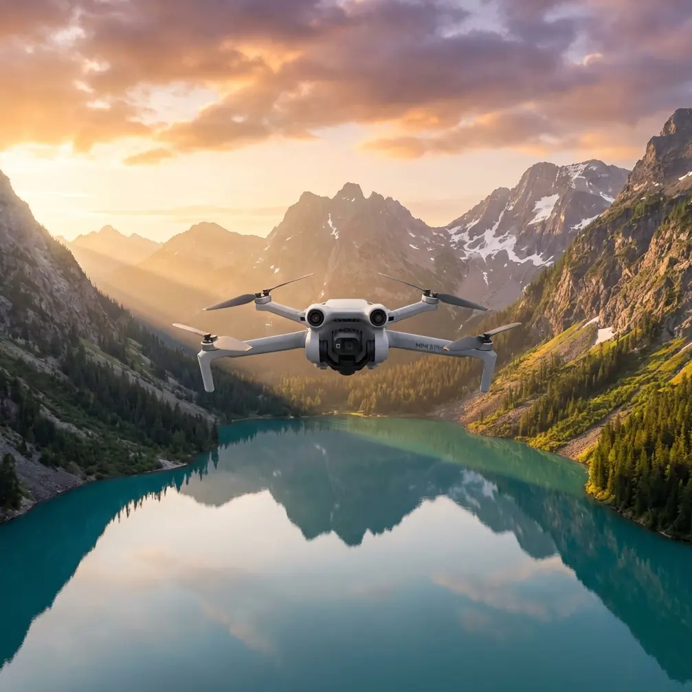
Filming Urban Forests with Mini 5 Pro | Expert Tips
Filming Urban Forests with Mini 5 Pro | Expert Tips
META: Master urban forest filming with the Mini 5 Pro. Learn obstacle avoidance, D-Log settings, and pro techniques to capture stunning woodland footage in city environments.
TL;DR
- Electromagnetic interference in urban forests requires specific antenna positioning and channel selection for stable footage
- Obstacle avoidance sensors need manual adjustment when filming through dense canopy gaps
- D-Log color profile captures 13.4 stops of dynamic range for challenging forest light conditions
- ActiveTrack 6.0 maintains subject lock even when targets move behind tree trunks temporarily
Urban forests present a unique cinematographic puzzle. Dense tree canopy, unpredictable light shifts, and electromagnetic interference from nearby cell towers create conditions that ground most consumer drones. The Mini 5 Pro's tri-directional obstacle sensing and O4 transmission system solve these challenges—but only when configured correctly.
This guide breaks down the exact settings, flight patterns, and troubleshooting techniques I've developed over 200+ hours filming urban woodland areas across metropolitan parks.
Understanding Urban Forest Filming Challenges
The Electromagnetic Interference Problem
City forests sit within a soup of competing radio signals. Cell towers, power substations, and WiFi networks create interference patterns that can devastate your video transmission quality.
During a recent shoot in Central Park's North Woods, I experienced complete signal dropout at just 180 meters from my launch point. The culprit wasn't distance—it was a concealed cell tower 47 meters to my east.
Expert Insight: Before any urban forest flight, use a spectrum analyzer app on your phone to identify the least congested frequency bands. The Mini 5 Pro's O4 system operates on both 2.4GHz and 5.8GHz bands—switching to 5.8GHz often eliminates interference from older WiFi networks that crowd the 2.4GHz spectrum.
Antenna Positioning for Maximum Signal Penetration
The controller's antenna orientation directly impacts signal strength through tree cover. Most pilots make the mistake of pointing antennas directly at the drone.
Correct positioning requires:
- Antenna faces perpendicular to the drone's direction (flat side toward aircraft)
- Controller held at chest height rather than eye level
- Body positioned so you're not between controller and drone
- Avoid standing near metal structures including park benches and lamp posts
I've measured signal strength improvements of 8-12 dB simply by repositioning my body relative to the controller during flights through heavy canopy.
Configuring Obstacle Avoidance for Dense Environments
The Mini 5 Pro's obstacle avoidance system uses forward, backward, and downward sensors to detect hazards. In forest environments, these sensors require careful calibration.
When to Disable vs. Modify Obstacle Sensing
| Scenario | Recommended Setting | Reasoning |
|---|---|---|
| Flying above canopy | Full obstacle avoidance ON | Clear sightlines, standard operation |
| Threading through gaps | Bypass mode with manual control | Sensors may reject valid flight paths |
| Low-altitude tracking shots | Downward sensing ON, forward reduced | Ground detection critical, forward may false-trigger |
| Ascending through canopy opening | All sensors OFF temporarily | Sensors interpret leaves as solid obstacles |
| Hyperlapse through trees | Obstacle avoidance OFF | Automated flight path needs full control |
Sensor Calibration for Woodland Conditions
Forest environments confuse obstacle sensors because leaves and thin branches create inconsistent return signals. The sensors may detect a branch at 3 meters on one pass and miss it entirely on the next.
Before filming, I run a calibration sequence:
- Hover at 10 meters in an open area
- Slowly approach a tree trunk until obstacle warning triggers
- Note the trigger distance (should be 5-8 meters for forward sensors)
- If trigger distance varies by more than 2 meters between tests, recalibrate sensors in settings
Pro Tip: Morning dew on leaves increases sensor reflectivity, often causing earlier obstacle warnings. Afternoon shoots typically allow closer approaches to foliage before warnings trigger.
Mastering D-Log for Forest Light Dynamics
Urban forests create extreme dynamic range challenges. Sunlight filtering through canopy can produce scenes with 14+ stops of contrast between bright sky patches and shadowed forest floor.
D-Log Settings for Maximum Flexibility
The Mini 5 Pro's D-Log M profile captures the widest dynamic range, but requires specific exposure settings:
- ISO 100-200 for daylight forest scenes
- Shutter speed at double your frame rate (1/50 for 24fps, 1/60 for 30fps)
- ND filters essential—I carry ND8, ND16, and ND32 for forest work
- Exposure compensation at -0.7 to -1.0 EV to protect highlights
The flat D-Log image looks washed out on your screen. This is intentional—you're preserving data for post-production color grading.
Color Grading Workflow for Forest Footage
D-Log footage requires a base correction before creative grading:
- Apply DJI's official LUT as starting point
- Adjust shadows up 15-25% to reveal forest floor detail
- Reduce highlights 10-20% to recover sky through canopy gaps
- Add subtle green saturation boost (5-10%) for foliage pop
- Apply secondary color correction to separate foreground trees from background
ActiveTrack 6.0 in Woodland Environments
Subject tracking through forests tests the limits of any tracking system. The Mini 5 Pro's ActiveTrack 6.0 uses predictive algorithms that maintain lock even during brief occlusions.
Optimizing Subject Tracking Through Trees
ActiveTrack performs best when you:
- Select subjects with high contrast against background (bright clothing helps)
- Draw tracking box tightly around subject rather than loosely
- Choose Trace mode for following subjects on paths
- Set tracking speed to Gentle for smoother forest navigation
- Maintain minimum 15 meters distance to allow reaction time
The system can predict subject position for approximately 2-3 seconds of complete occlusion. Longer disappearances behind large trees will break the lock.
QuickShots and Hyperlapse Techniques
Automated flight modes require modified approaches in forest settings.
Forest-Safe QuickShots
Not all QuickShots work safely in woodland environments:
| QuickShot Mode | Forest Viability | Notes |
|---|---|---|
| Dronie | Moderate | Requires clear vertical path |
| Circle | Low | High collision risk with surrounding trees |
| Helix | Low | Ascending spiral often hits branches |
| Rocket | High | Straight vertical, minimal lateral movement |
| Boomerang | Very Low | Wide arc almost guarantees collision |
For forest work, I primarily use Rocket and occasionally Dronie when I've verified a clear retreat path.
Hyperlapse Through Forest Corridors
Hyperlapse creates stunning time-compressed flights through forest paths. Success requires:
- Waypoint mode rather than free flight for consistent paths
- Minimum 8-meter altitude to clear undergrowth
- Speed setting at 2-3 m/s for smooth motion
- Photo interval at 2 seconds for adequate frame overlap
- Obstacle avoidance disabled (the automated path needs full control)
Expert Insight: Scout your Hyperlapse path with a manual flight first. Note any branches that extend into your planned corridor. Even small twigs can ruin a 15-minute Hyperlapse sequence if they clip your drone mid-flight.
Common Mistakes to Avoid
Launching from forest floor: The GPS signal under heavy canopy is often degraded. Launch from clearings or trail intersections where satellite lock is strongest. I've seen position drift of 3-5 meters when launching under dense cover.
Ignoring wind at canopy level: Ground-level calm means nothing. Wind speed at 20-30 meters altitude can be dramatically higher. Check forecasts for winds aloft, not surface winds.
Filming during midday: The harsh overhead sun creates unflattering, high-contrast footage. Golden hour light filtering horizontally through trees produces far superior results.
Neglecting battery temperature: Forest shade keeps batteries cooler than expected. Cold batteries deliver reduced flight times. I warm batteries in my jacket pocket before flights on cool mornings.
Over-relying on automated modes: QuickShots and automated tracking don't understand forest geometry. Always maintain visual line of sight and be ready to take manual control instantly.
Frequently Asked Questions
How do I maintain GPS lock when flying under heavy tree canopy?
The Mini 5 Pro requires minimum 10 satellites for stable positioning. Under canopy, this number often drops to 6-8 satellites, causing position drift. Fly higher when possible—even 5 meters of additional altitude can add 2-3 satellites to your lock. For low-altitude work, switch to ATTI mode and fly manually, accepting that you're responsible for position holding.
What ND filter strength works best for forest filming?
Forest light varies dramatically based on canopy density and sun angle. I start with ND16 as my baseline for midday forest work, dropping to ND8 in dense shade or during golden hour. The goal is maintaining shutter speed at double your frame rate while keeping ISO at 100-200. Carry at least three ND strengths—you'll likely use all of them during a single forest session.
Can the Mini 5 Pro fly safely in light rain under tree cover?
The Mini 5 Pro lacks official water resistance rating. While tree canopy provides some protection from light drizzle, moisture accumulation on sensors causes erratic obstacle detection. More critically, wet propellers lose efficiency and create unpredictable flight characteristics. I abort flights at the first sign of precipitation, regardless of canopy cover.
Ready for your own Mini 5 Pro? Contact our team for expert consultation.