Mini 5 Pro for Remote Vineyards: What Actually Makes
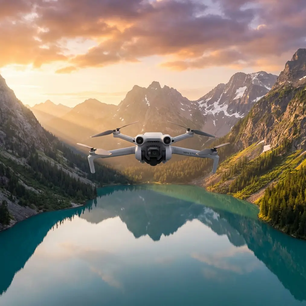
Mini 5 Pro for Remote Vineyards: What Actually Makes a Flight Plan Work
META: A practical expert look at using Mini 5 Pro around remote vineyards, with aerial planning lessons drawn from low-altitude digital photogrammetry standards and real operational constraints.
The hard part of flying a drone in a remote vineyard is rarely the flying.
It’s everything around it: uneven slopes, broken access roads, changing light on reflective leaves, narrow weather windows, and the fact that one sortie often needs to serve more than one purpose. You may be checking vine health, documenting irrigation lines, scouting access paths for deliveries, capturing progress footage for owners, and building a visual record that can still be referenced later. In rough terrain, “just send it up” is how teams waste batteries, miss coverage, and come back with footage that looks fine but can’t support real decisions.
That’s where the Mini 5 Pro conversation gets more interesting.
A lot of people approach this aircraft through familiar feature language: obstacle avoidance, subject tracking, ActiveTrack, D-Log, QuickShots, Hyperlapse. Those matter. But if you’re using a Mini 5 Pro in vineyards that sit far from easy launch points or stable infrastructure, the bigger question is whether the aircraft helps you execute a disciplined mission without turning every field day into a production.
My own turning point came after a frustrating job in hillside vines where the brief looked simple. We needed aerial visuals of block conditions and access routes, plus enough consistent top-down coverage to compare one section against another. The flight itself was not technically difficult. The trouble was planning. We underestimated terrain variation, flew during a time when surface cover and shadows complicated interpretation, and spent too much time patching together imagery from mismatched heights and angles. The result was usable for marketing. It was weak for operations.
That experience changed how I look at compact drones for agriculture and rural logistics support. And it’s exactly why the Mini 5 Pro should be judged less as a toy-sized camera platform and more as a field tool that either respects mission structure or doesn’t.
Why vineyard work punishes sloppy planning
Remote vineyards are visually beautiful and operationally awkward. The ground is rarely uniform. Vine rows create repeating patterns that can confuse a lazy flight plan. Elevation changes alter your relationship to the crop and to obstacles. A route that seems clear from one edge of the property may tighten dramatically over trellis lines, windbreaks, poles, sheds, or terrain breaks.
The low-altitude digital aerial photography standard CH/Z 3005-2010 is useful here, not because a Mini 5 Pro operator needs to become a survey bureaucrat, but because the document forces the right mindset. It says flight planning should be based on 1:10,000 or larger-scale topographic maps or imagery, or done in a 3D modeling system, with mission scope, accuracy needs, and purpose defined in advance. That sounds dry until you’ve lost half a day improvising around a vineyard you should have modeled before leaving the office.
For Mini 5 Pro users, the operational significance is straightforward: if the vineyard is remote and topographically messy, preplanning in a terrain-aware environment is not optional. It helps determine launch points, line-of-sight constraints, expected battery turnover, likely shadow zones, and whether one flight profile can serve both inspection and documentation goals.
The standard also recommends choosing the ground resolution based on mapping scale, terrain conditions, contour requirements, base-height ratio, and image purpose. One reference range shown in the source is 15 to 20 cm ground resolution for certain mapping tasks. Even if your Mini 5 Pro mission is not formal surveying, that number teaches a valuable lesson: image detail should be selected for the job, not for ego. In a vineyard, flying lower for “more detail” can actually slow the mission, create inconsistency across blocks, and make broader pattern analysis harder. Flying at a repeatable height that gives enough detail to detect row issues, access obstacles, and irrigation anomalies is usually smarter than chasing maximum closeness.
The Mini 5 Pro advantage is not one feature. It’s workload reduction.
What makes a compact platform useful in vineyards is cumulative efficiency.
Obstacle avoidance matters because vineyard operations often happen in transitional spaces: rows opening into service roads, boundaries near trees, terrain rising unexpectedly behind the aircraft. A drone that helps buffer pilot workload lets the operator spend more attention on framing, coverage discipline, and environmental changes.
ActiveTrack and subject tracking sound like creative features, but in agricultural logistics support they solve a real problem. If you’re documenting a utility cart, worker movement along a lane, or a test route for small-item delivery to a remote section, stable automated tracking reduces the need for repeated manual passes. You get cleaner comparative footage and fewer resets. In steep vineyards, fewer resets mean less battery waste and less pressure to rush.
D-Log is another one that people often relegate to content creators. That misses the point. Vineyards can present brutal contrast, especially when bright soil, reflective leaves, shade pockets, and structures sit in the same frame. A flatter recording profile preserves more flexibility when you need to evaluate detail later rather than simply admire a cinematic look on the day of the shoot. For owners, agronomy teams, and site managers, recoverable highlight and shadow information is often more useful than instantly saturated footage.
QuickShots and Hyperlapse also earn their keep if used intelligently. Not as gimmicks. As documentation shortcuts. A repeatable automated movement over a service track, access path, or production zone can create a quick visual baseline that managers understand immediately. Hyperlapse can help communicate changing weather, worker flow, or movement patterns around a staging area without requiring a long manual editing process.
What the standard gets right about timing
One of the most practical details in the source material is its guidance on flight season and time selection. The standard says aerial work should be scheduled under the most favorable weather conditions and should avoid or minimize interference from vegetation cover and other surface obstructions where possible.
That has direct relevance in vineyards.
Obviously, you can’t remove the vines. But you can choose times when glare is controlled, shadows don’t erase row detail, and wind is low enough to preserve consistency. If your goal is route assessment for remote delivery support within the vineyard, harsh midday contrast may hide surface texture on access tracks. If your goal is crop-condition documentation, early or late light can produce dramatic visuals but also exaggerate shadows between rows and complicate comparisons between blocks.
Mini 5 Pro operators who treat time-of-day selection as a creative preference rather than an operational variable usually end up repeating flights. And repeated flights in remote sites become expensive in time, not money alone. You burn daylight, batteries, and staff patience.
Storage and power are not side notes in remote work
The standard specifies that onboard image storage should hold at least 500 images, and that the camera battery should support no less than 2 hours of continuous work. Those figures come from a formal aerial imaging context, but they underline something vineyard teams learn fast: in remote environments, capacity is resilience.
No compact field mission goes perfectly. Wind shifts. A block requires one more pass. A manager asks for a check of a drainage line on the other side of the property. If your workflow depends on razor-thin storage margins or short operational endurance, every surprise becomes a compromise.
This is where the Mini 5 Pro needs to fit into a broader system. The aircraft itself may be compact and portable, which is exactly what remote vineyard teams want. But your mission design should still borrow from the discipline behind those standards: assume you will need extra imagery, assume you may need continuity, and assume that returning to the same launch point is not always convenient. Compact drones are best when they reduce logistical friction, not when they tempt operators into underplanning.
Straight lines, clean sectors, and why they matter even for non-survey flights
Another useful detail from the source is the recommendation that flight lines generally run in straight, parallel paths, often east-west along map frame lines, while using terrain models to design route points according to relief. It also notes that within a flight sector, terrain height difference should be controlled relative to flight altitude.
Again, even if you are not conducting formal photogrammetry, this matters.
In vineyards, straight and consistent passes create better comparability. They make it easier to review row conditions, identify missing plants, spot encroaching vegetation near access routes, and maintain a clean record over time. Terrain-adjusted planning matters because a constant altitude from takeoff point is not the same as a constant operational relationship to the vines. On sloped ground, that difference can distort your visual dataset and increase obstacle risk at the same time.
This is one reason the Mini 5 Pro’s obstacle handling and route repeatability become more than convenience features. They support disciplined flying in places where the land itself is trying to make your footage inconsistent.
A better problem-solution workflow for vineyard teams
If you’re considering a Mini 5 Pro for remote vineyard work, the strongest workflow is usually this:
1. Define the mission before the flight
Are you assessing access routes, documenting crop blocks, creating a delivery path record, or producing visuals for stakeholders? These are not the same job. The standard’s insistence on defining scope, accuracy, and purpose upfront is exactly right.
2. Build the plan against terrain, not assumptions
Use topographic information, existing imagery, or a 3D environment if available. The source specifically points to 1:10,000 scale or larger mapping references or a 3D modeling system. That’s a strong reminder that vineyard flights should be designed before boots hit the field.
3. Choose a usable image scale
The reference to 15–20 cm ground resolution is a good mental anchor. Not every mission needs the lowest possible altitude. The best height is the one that captures operationally useful detail while preserving efficiency and repeatability.
4. Fly when interpretation is easiest
Don’t choose flight time only for aesthetics. Choose it for low wind, manageable contrast, and visibility of the exact features you need to inspect.
5. Use automation to reduce pilot fatigue
Let obstacle avoidance, ActiveTrack, and repeatable automated moves take over the tasks they handle well. Save your concentration for mission judgment.
6. Record with future review in mind
D-Log is helpful when vineyard contrast is difficult and you may need to revisit detail later in post or internal review.
7. Leave margin for the unexpected
Remote properties always produce one more request. Storage, batteries, and flight windows should reflect that reality.
Where the Mini 5 Pro really makes life easier
The biggest win with a drone like the Mini 5 Pro in vineyards is not glamour. It’s reduced friction between intent and execution.
You can hike it to a remote launch spot without resenting the weight. You can capture route overviews, block transitions, and terrain context quickly. You can track moving subjects when testing transport paths or documenting worker movement. You can preserve more image flexibility in difficult light. You can use automated patterns for repeatable records instead of hand-flying every shot from scratch.
Most importantly, you can do all that while applying a more professional aerial planning logic than many operators ever bring to compact drones.
That logic is what separates pretty footage from operationally useful aerial data.
When I think back to that rough vineyard job I mentioned earlier, the problem wasn’t that we lacked a capable enough drone. The problem was that we had not brought enough structure to the mission. A platform like the Mini 5 Pro helps because it lowers the effort required to execute that structure properly. It doesn’t replace planning. It rewards it.
If your team is trying to support remote vineyard delivery routes, inspect hard-to-reach blocks, or simply create a more repeatable aerial record of the property, that’s the lens I’d use. Not hype. Not spec-sheet obsession. Just this question:
Does the aircraft help you come back with imagery and flight results that are actually usable the first time?
For many vineyard operators, that is the only metric that matters.
If you want to compare setup ideas for a specific property layout or route challenge, you can message Chris directly here and discuss the flight profile before heading into the field.
Ready for your own Mini 5 Pro? Contact our team for expert consultation.