Mini 5 Pro Best Practices for Construction Site Delivery
Mini 5 Pro Best Practices for Construction Site Delivery in Extreme Temperatures
META: A practical Mini 5 Pro field guide for construction professionals: mission planning, orthomosaic-style workflows, extreme temperature tactics, obstacle avoidance, ActiveTrack, D-Log, and smarter site delivery routines.
Construction sites punish shortcuts.
Heat shimmer, reflective steel, wind tunnels between unfinished structures, battery performance swings, and signal interruptions all show up fast when you’re trying to move visual information across a site reliably. If your goal with a Mini 5 Pro is “just fly and grab a few shots,” extreme temperatures will expose every weak habit in your workflow. If your goal is repeatable site delivery—progress documentation, stakeholder updates, roof checks, façade review, material staging verification, or quick orthographic capture support—then disciplined planning matters more than raw flight skill.
That is where an old but still relevant idea from DJI GS Pro becomes useful.
Back in 2017, GS Pro changed what many civilian drone users expected from field operations. The real breakthrough was not glamour. It was the ability to plan a mission on an iPad, send the aircraft out automatically for orthographic image capture, and have it return to the launch point with minimal pilot workload. The source material also highlights three practical function groups inside GS Pro: virtual fencing, mapping-area missions, and waypoint flight. Those three ideas still map cleanly onto how a Mini 5 Pro should be used on a construction site today, especially when temperatures are working against you.
This article is a how-to guide built around that logic: automate what should be automated, constrain what should be constrained, and leave human attention free for the variables that actually change on a live jobsite.
Why GS Pro thinking still matters for Mini 5 Pro users
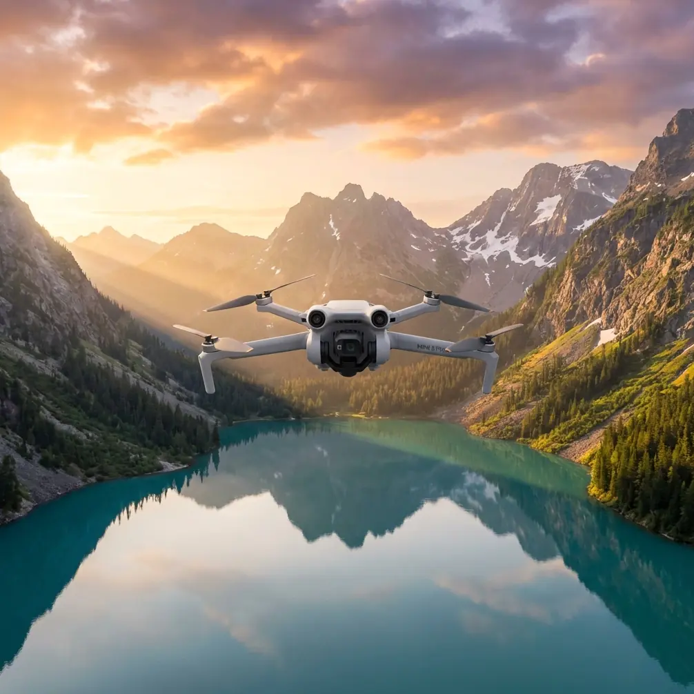
The Mini 5 Pro is a compact aircraft, but compact does not mean casual.
Construction teams often treat small drones as quick-response tools rather than structured data collection platforms. That works until the environment gets harsh. In extreme heat or cold, “quick-response” often becomes “rushed,” and rushed flights lead to inconsistent framing, uneven overlap, unnecessary battery drain, and avoidable risk around cranes, scaffolding, temporary offices, and delivery routes.
The GS Pro reference matters because it frames autonomous flight as an operational advantage for non-specialists. The source literally describes the appeal from the perspective of a non-professional user: tap the screen, let the drone take off, complete an orthographic imaging task, and return home. That operational significance is easy to miss. It is not about laziness. It is about standardization.
For a construction site team using a Mini 5 Pro, standardization means:
- same takeoff point
- same route
- same altitude strategy
- same camera logic
- same return behavior
- cleaner comparison from week to week
When site conditions are severe, repeatability reduces errors faster than pilot improvisation does.
Step 1: Build your site workflow around zones, not around flights
Before batteries, before camera settings, define the site as a set of mission zones.
The GS Pro source specifically calls out virtual fencing. That detail is more than a software feature; it is a field discipline. On a construction site, virtual boundaries help you separate safe capture corridors from problem areas such as:
- crane swing radius
- active concrete pump lines
- steel erection areas
- traffic ingress points
- glass-heavy façades
- temporary utility towers
With a Mini 5 Pro, obstacle avoidance helps, but obstacle avoidance is not a planning system. It is a last layer, not the first. On extreme-weather days, sensors can also be affected by glare, low-angle light, dust, or thermal turbulence. The smarter move is to define where the aircraft should never drift in the first place.
A practical zone model looks like this:
Zone A: Repeatable mapping pass
Use this for progress overviews, stockpile reference, grading checks, and broad visual site documentation. Keep flight lines consistent.
Zone B: Inspection orbit area
Use this around façades, rooftop mechanicals, tower sections, or material staging areas where you need controlled perspectives instead of survey-style overlap.
Zone C: Dynamic follow zone
This is where ActiveTrack or subject tracking can support moving site logistics documentation, such as tracking a delivery convoy entering the site or documenting crane-adjacent material placement from a safe standoff distance. Use this conservatively.
Zone D: No-fly buffer
Around workers on lifts, suspended loads, dense rebar forests, or temporary enclosed spaces.
If you don’t divide the site this way, extreme temperature stress tends to push crews into ad hoc decisions, and ad hoc flights are where consistency dies.
Step 2: Treat mapping-style flight as your baseline mission
The GS Pro document emphasizes a “mapping aerial area mode.” That is especially relevant if your Mini 5 Pro is being used to deliver progress imagery in a way that supervisors, owners, or remote teams can compare over time.
Even if you are not generating a full photogrammetry output every day, a mapping-style mission gives you the most dependable baseline. It brings order to the chaos of the site.
Here’s the practical setup:
- Choose a stable launch point away from site traffic.
- Fly at a repeatable altitude matched to the scale of the area.
- Maintain consistent overlap habits even if you are capturing for visual comparison rather than formal surveying.
- Shoot at the same time of day whenever possible to reduce shadow inconsistency.
- Use D-Log when the contrast range is brutal and you need latitude for post-processing.
D-Log is especially useful on construction sites in extreme temperatures because those days often come with hard lighting. Summer heat usually means bright concrete, reflective membrane, galvanized surfaces, and deep shadow pockets under partially completed structures. D-Log gives you more room to normalize those extremes later, which matters if the output is meant for project reporting rather than social media.
This is one place where a small drone can outperform expectations. A disciplined Mini 5 Pro workflow can produce clearer operational records than a larger aircraft flown casually.
Step 3: In extreme heat, fly the battery—not the mission plan
Hot weather changes pilot judgment.
People become overconfident because lift feels normal and visibility looks clear. Meanwhile, batteries heat up faster on the ground, electronics soak in the sun before takeoff, and the aircraft may spend more energy stabilizing in turbulent hot-air columns rising off roofs, asphalt, and concrete slabs.
For Mini 5 Pro construction work in high heat:
- keep batteries shaded until use
- minimize idle-on-ground time before takeoff
- shorten mission blocks rather than pushing one long sortie
- avoid hovering over heat-radiating surfaces longer than necessary
- leave larger return margins than you would in mild weather
This is where waypoint-style thinking from GS Pro still helps. If your route is pre-structured, you can estimate realistic battery demand more accurately. You are not burning power through indecision.
A small third-party upgrade can help here too. One accessory I’ve found genuinely useful in harsh site conditions is a sun hood for the controller or tablet display. It sounds minor. It is not. In hot midday conditions, better screen visibility speeds up decision-making and reduces the temptation to hold the aircraft in place while you squint at exposure, framing, or route progress. Less hover time means cleaner battery management.
Step 4: In cold weather, build in a warm-up routine and simplify your shot list
Cold drains confidence differently.
Pilots tend to overmanage the aircraft, make abrupt corrections, and chase too many creative angles before the batteries are fully settled into the flight. The result is jerky movement, inconsistent framing, and shorter useful mission time.
For cold site operations:
- keep batteries warm before insertion
- use a short, gentle initial segment after takeoff
- avoid immediate aggressive climbs
- prioritize the core mapping or progress-capture pass first
- move cinematic extras like Hyperlapse or QuickShots to the end only if reserves allow
This matters because construction stakeholders usually care more about documentation reliability than about flair. QuickShots and Hyperlapse can be useful, especially for marketing teams or executive summaries, but they should never interrupt your primary progress workflow in temperature-stressed conditions.
That order of operations—core mission first, enhancement second—is another lesson hidden inside the GS Pro model. Automated mission work exists to protect the critical output.
Step 5: Use obstacle avoidance as a confirmation tool, not as permission
Obstacle avoidance is one of those features that gets overpraised and under-understood.
On a construction site, the Mini 5 Pro’s obstacle sensing can be valuable around partially completed walls, scaffold edges, or equipment clusters. But extreme temperatures add variables: glare off metal can complicate sensor interpretation, wind can push the aircraft near thin objects, and dust can reduce clarity in the environment.
So use obstacle avoidance properly:
- keep it enabled where appropriate
- don’t fly routes that assume sensors will save you
- maintain broader offsets near cranes, cables, and unfinished structural elements
- avoid threading through gaps just because the aircraft is small
If you need tighter repeatability near structures, fly slower and pre-visualize the line. If the task is routine enough, build a repeatable path around the structure rather than improvising in close quarters each time.
That is operationally significant because the GS Pro source identifies waypoint flight as a core feature category. Waypoint logic reduces pilot-induced variability. Near structures, reduced variability is often more valuable than aggressive maneuverability.
Step 6: Use ActiveTrack and subject tracking selectively on site
The context seed mentions subject tracking and ActiveTrack, and yes, they can be useful in civilian construction workflows. But only in the right lane.
Good use cases:
- documenting inbound material movement from gate to staging area
- following a clearly isolated site vehicle for logistics review
- capturing a controlled progress walk by a project lead in a safe open area
Bad use cases:
- tracking workers in cluttered overhead environments
- following moving equipment through mixed obstructions
- trying to automate close-proximity movement around cranes or suspended materials
ActiveTrack is best used when the tracked subject’s path is predictable and the environment is visually clean. In extreme temperatures, especially heat shimmer, apparent visual stability can be misleading. Keep the aircraft farther off than your instincts may suggest.
Step 7: Deliver better outputs by separating “record” from “presentation”
Most site drone programs fail here.
They mix technical capture with marketing capture and end up weakening both. The GS Pro reference was centered on orthographic mission work, which is fundamentally about reliable records. That should stay your foundation.
For a Mini 5 Pro workflow, split each outing into two products:
Record set
- repeatable top-down or high oblique progress imagery
- same route, same framing logic
- optimized for comparison and archiving
Presentation set
- selective orbits
- controlled reveals
- QuickShots where safe and relevant
- short Hyperlapse segments for timeline storytelling
This structure keeps your operational reporting clean while still giving communications teams something polished to use.
If your site team needs help designing that split, it’s often easier to map the workflow in advance with a specialist who understands both flight planning and construction reporting. A direct planning conversation can save weeks of trial and error; one simple route is to message a workflow specialist here.
Step 8: Standardize your post-flight habit as much as your flight itself
The source document includes a section on成果处理—results processing. That is another clue that the real value of aerial work is not in the takeoff. It is in what becomes usable afterward.
For construction site delivery, every flight should end with the same review cycle:
- verify full image set completeness
- check for blur from wind or rushed turns
- confirm perspective consistency with prior missions
- tag temperature conditions and unusual site changes
- separate archive-grade imagery from presentation selects
That last point matters. On extreme-temperature days, color and contrast can behave unpredictably across surfaces. If you’re shooting D-Log, normalize carefully so progress comparisons remain honest. You want continuity, not dramatic grading.
The real lesson for Mini 5 Pro operators
The biggest takeaway from the 2017 GS Pro material is not nostalgia for an old app. It is the mindset shift it represented: non-specialist users could run more disciplined, semi-automated aerial missions without treating every flight as a handcrafted event.
For a Mini 5 Pro on construction sites in harsh weather, that mindset is still the edge.
Use virtual-boundary thinking to control risk. Use mapping-style missions to anchor consistency. Use waypoint logic to reduce wasted battery and pilot drift. Use D-Log when lighting becomes punishing. Use obstacle avoidance as a backup layer, not a strategy. Use ActiveTrack only where movement is predictable and open. Use one small accessory—like a quality screen sun hood—to make better decisions faster in the field.
Small drone. Serious workflow. That is the difference between collecting footage and delivering usable site intelligence.
Ready for your own Mini 5 Pro? Contact our team for expert consultation.