Mini 5 Pro for Solar Farm Imaging in Low Light
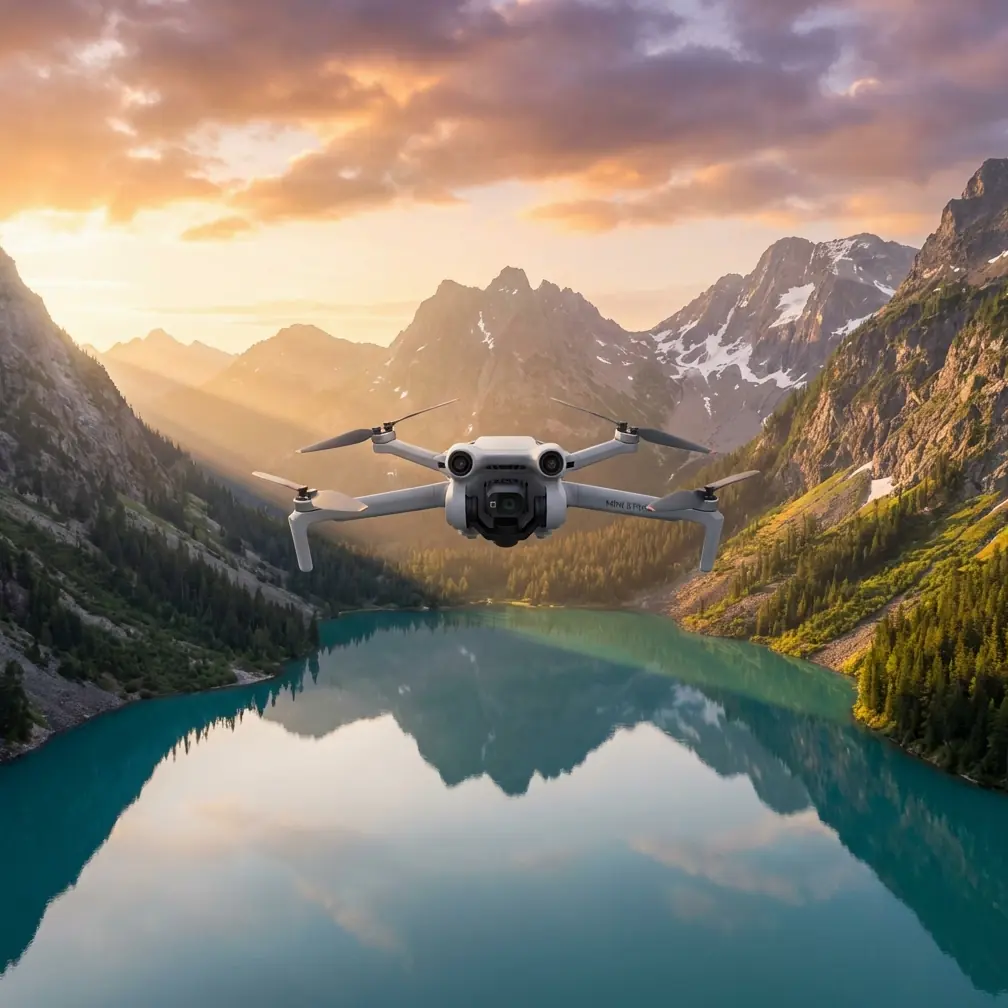
Mini 5 Pro for Solar Farm Imaging in Low Light: What Actually Matters in the Field
META: A technical review of Mini 5 Pro best practices for low-light solar farm capture, with mission-planning insights drawn from low-altitude aerial photography standards.
I’ve spent enough dawns around utility-scale solar arrays to know that low-light drone work is rarely limited by the camera alone. The aircraft, the site geometry, the flight plan, and even how you orient yourself around interference sources all affect whether you come back with usable imagery or a folder full of compromise.
That is why the Mini 5 Pro conversation gets more interesting when you stop treating it like a lifestyle drone and start looking at it as a small aerial imaging platform. For solar farms, especially at first light, dusk, or under heavy cloud, the real question is not whether the drone can fly. It is whether it can collect consistent, interpretable, repeatable data across long rows of reflective infrastructure without wasting time on reshoots.
The answer depends less on marketing features and more on operating discipline.
Why low-light solar farm work is a tougher test than it looks
Solar farms create a strange visual environment. You have repetitive geometry, narrow service lanes, reflective surfaces, localized thermal behavior, and often a lot of empty-looking space that can fool exposure judgment and autofocus behavior. Add low light and the margin for error gets smaller.
At sunrise, panel surfaces may show subtle texture, dust, pooling water, damage signatures, or installation irregularities that disappear once the sun gets higher. At the same time, the site can sit in mixed illumination. One block of panels is still in soft shadow while another catches stray glare. That makes consistency more valuable than dramatic imagery.
This is where the Mini 5 Pro has to be judged as a tool for disciplined image acquisition. Obstacle avoidance, ActiveTrack, QuickShots, and Hyperlapse all have their place, but on a solar site they matter differently. Obstacle sensing is not there to show off autonomy. It helps when you are flying laterally near inverter housings, perimeter fencing, monitoring masts, or uneven terrain in dim light. Subject tracking is less about cinematic movement and more about controlled repeatability around service vehicles or maintenance documentation. D-Log matters because low-light scenes over reflective assets can hold bright panel highlights and darker ground detail in the same frame.
But the more interesting lessons come from old aerial survey standards, because those standards were written around a problem we still have today: how to collect images that are accurate, efficient, and fit for downstream use.
The standard-based mindset that makes Mini 5 Pro flights better
A Chinese low-altitude digital aerial photography standard, CH/Z 3005-2010, contains several practical ideas that translate surprisingly well to modern Mini 5 Pro operations. It is not a drone buyer’s brochure. That is exactly why it is useful.
One of the clearest points is that ground resolution should be selected according to the final mapping scale, terrain conditions, contour requirements, flight height-to-base relationship, and image purpose, always under the premise of meeting accuracy needs while shortening the production cycle. That principle is more valuable than any fixed camera setting.
For a solar farm, this means you should not choose altitude only for convenience or battery savings. You choose it based on what the image must reveal.
If the task is broad asset documentation, a coarser ground sample may be fine. If the goal is identifying row-level installation defects, drainage issues, vegetation encroachment, cable trench disturbance, or panel edge anomalies in low light, you may need to fly lower and accept a slower mission. The standard even references indicative ground resolution ranges tied to mapping scale, including about 15 to 20 cm for one mapping context shown in the table. That number is not a universal prescription for Mini 5 Pro solar work, but it does reinforce a professional truth: resolution is a planned deliverable, not an accident.
For operators using the Mini 5 Pro, this has operational significance in two ways:
- You can reduce repeat visits by matching resolution to the inspection or documentation objective before takeoff.
- You can maintain consistent evidence quality across multiple site visits, which matters when comparing panel rows over time.
That is the difference between flying for nice footage and flying for a utility client who expects usable records.
Flight timing matters more than people admit
The same standard says aerial imaging should be scheduled during the most favorable meteorological conditions and should avoid or reduce interference from surface vegetation and other cover. In practical terms, it is saying: choose the season and time window that best supports visibility of the target.
That lands directly in the solar farm scenario.
Low light can be desirable, but not all low-light windows are equal. At dawn, wind is often calmer and shadows can reveal panel alignment, row spacing, and terrain undulation with remarkable clarity. On the other hand, if the site has morning mist, dew haze, or glare bands from a low sun angle, your contrast can collapse. If the farm is near vegetation, winter or dry-season flights may expose drainage corridors and access paths that are hidden in lush growth.
So the Mini 5 Pro operator should think like a survey planner, not just a pilot. Ask what the site will reveal under that specific sky. That question matters more than whether you can technically get airborne.
Mission planning: do not improvise on long panel rows
Another detail from the standard deserves more attention than it usually gets: the flight plan should be made using 1:10,000 scale topographic maps or larger-scale imagery, or inside a 3D modeling system, with the task boundary, accuracy, and purpose clearly defined.
That is excellent advice for Mini 5 Pro work over solar assets.
Solar farms are repetitive. Repetition is where sloppy planning creates blind spots. Before launch, define the exact blocks to cover, the order of flight lines, expected return-to-home logic, low-light exposure priorities, and where signal quality may degrade. A simple overhead screenshot is often not enough. If the site has rolling terrain, transformer pads, perimeter roads, elevation breaks, or drainage basins, a 3D planning view is far better because it tells you where your actual line-of-sight and obstacle relationships change.
This is also where obstacle avoidance should be understood correctly. It is a safety layer, not a mission design substitute. On a solar farm in dim conditions, obstacle sensing may help near isolated structures, but you still need clean, straight flight lines and predictable overlap if you want useful stitched outputs or repeatable comparison passes.
The standard also notes that flight lines are generally designed as straight paths, commonly east-west and parallel to the map frame, though alternative orientations may be used based on local conditions. For solar farms, the equivalent logic is simple: orient your route to the site geometry and the light. Sometimes that means flying parallel to panel rows to maximize consistency. Sometimes it means crossing rows to reveal drainage, tilt uniformity, or edge conditions. There is no one “cinematic” direction that works for every task.
Electromagnetic interference: the problem that catches small drones off guard
Solar farms are electrically active environments. Inverters, combiner boxes, transmission infrastructure, and monitoring hardware can create pockets of electromagnetic interference. Usually the Mini 5 Pro will handle normal site conditions well, but there are moments when the signal behavior changes enough to affect confidence.
This is where small habits matter.
If you see instability in transmission quality, hesitant control response, or inconsistent video link performance near specific infrastructure, do not force the shot. Reposition. Increase stand-off distance. Most importantly, adjust your body and controller orientation so the antenna relationship to the aircraft improves rather than degrades. That sounds basic because it is basic, and it still solves a surprising number of field problems.
On one large site, I had a clean route on paper and repeated signal weakness near a central equipment zone. The fix was not a dramatic settings change. It was moving several meters laterally, avoiding alignment with a dense equipment cluster, then deliberately re-aiming the controller for a cleaner path to the aircraft. The Mini 5 Pro settled down immediately. Operators sometimes overcomplicate this. In many cases, the first response to EMI is not panic. It is geometry.
If you need a second opinion on route design for difficult sites, I usually suggest sharing the layout with a pilot support contact before the field day, such as this direct planning chat. It saves time when interference zones are predictable from the map.
Imaging discipline: bit depth, compression, and why D-Log earns its keep
The same standard specifies that image data for each channel should have a dynamic range of at least 8 bit, and if compression is used, the compression ratio should not exceed 10. On paper, that looks like a dry archival requirement. In practice, it speaks directly to low-light solar capture.
You are trying to preserve detail in scenes where dark ground, shaded framework, bright sky openings, and reflective panel surfaces all compete inside the same frame. If your capture or export pipeline throws away too much tonal information, low-light solar imagery can become fragile very quickly. Shadow lifting reveals noise. Highlight recovery fails. Panel surfaces lose subtle variation.
That is why D-Log is not just a creative option here. It is operationally useful. A flatter profile can preserve more grading flexibility when the site includes both dark service roads and bright specular hits off panel glass. The point is not to make the site look dramatic. The point is to preserve interpretability.
Compression choices matter too. Over-compressed files may look acceptable on a phone and still fall apart under closer review when you are trying to inspect row-level details. The standard’s conservative attitude toward compression is worth copying even if your exact workflow differs.
Storage and endurance are planning variables, not afterthoughts
The document also sets surprisingly practical equipment expectations: onboard storage should hold at least 500 images, and the battery should support not less than 2 hours of continuous work for the camera system. No, that does not mean your Mini 5 Pro is going to remain airborne for two hours on one pack. But the principle holds.
For solar farm work, image volume grows fast. A few extra oblique passes, a set of low-altitude edge captures, and one repeat run because the light improved can fill storage more quickly than expected. If your mission assumes minimal image count, you will begin self-editing in the field and skipping useful coverage.
Likewise, endurance planning is not just about flight minutes. It is about total mission continuity. How many batteries are staged? Can you maintain the same imaging settings across swaps? Are you changing cards mid-block? Are you risking inconsistent exposure because one section flew before dawn color stabilized and the next flew after?
Professionals separate aircraft endurance from mission endurance. The standard, indirectly, pushes you to do the same.
How Mini 5 Pro features fit real solar workflows
A lot of feature discussions around the Mini 5 Pro drift into generic praise. That misses the point. Here is where the commonly discussed functions actually matter on a solar site.
Obstacle avoidance
Useful around perimeter fencing, weather stations, CCTV poles, maintenance sheds, and terrain breaks in dim light. Its real value is reduced workload during careful lateral repositioning, not permission to fly carelessly near infrastructure.
ActiveTrack and subject tracking
Most solar farm missions are not about following people. Still, tracking can help document maintenance operations, cleaning equipment movement, or service vehicle access paths without constantly reframing manually. In low light, however, you should treat tracking reliability cautiously around repetitive panel geometry.
QuickShots
Not central to technical capture, but useful when the client also needs a brief visual summary of the site for reporting or stakeholder communication. Keep these separate from your structured documentation passes.
Hyperlapse
Potentially valuable for showing cloud movement, shadow travel, or work progression across a site. Again, this is secondary to technical acquisition.
D-Log
Arguably the most relevant of the group for low-light conditions because it preserves flexibility when the scene contains both deep shadow and bright reflection.
The biggest mistake: confusing attractive footage with operationally useful coverage
Solar farm clients often need images they can compare, archive, and reference later. That means consistency in altitude, direction, framing logic, and timing. The old aerial photography standard keeps coming back to the same philosophy: define the task, choose the right resolution, plan around terrain and purpose, and collect data under conditions that support the objective.
That philosophy suits the Mini 5 Pro extremely well.
A small drone can do serious work when the operator stops chasing visual novelty and starts managing variables. For low-light solar farm capture, that means planning image scale in advance, selecting the right weather window, using route geometry that respects the site layout, handling EMI through smart positioning and antenna adjustment, preserving dynamic range, and treating storage and battery logistics as part of the imaging system.
The Mini 5 Pro is not made more professional by calling it professional. It becomes professional when it is flown with survey-grade discipline.
And that is the real takeaway. On a solar farm at first light, the difference between a useful sortie and a wasted one is rarely a single feature. It is whether your workflow is built around the image purpose from the start.
Ready for your own Mini 5 Pro? Contact our team for expert consultation.