Mini 5 Pro Field Report: Smarter Urban Highway Capture
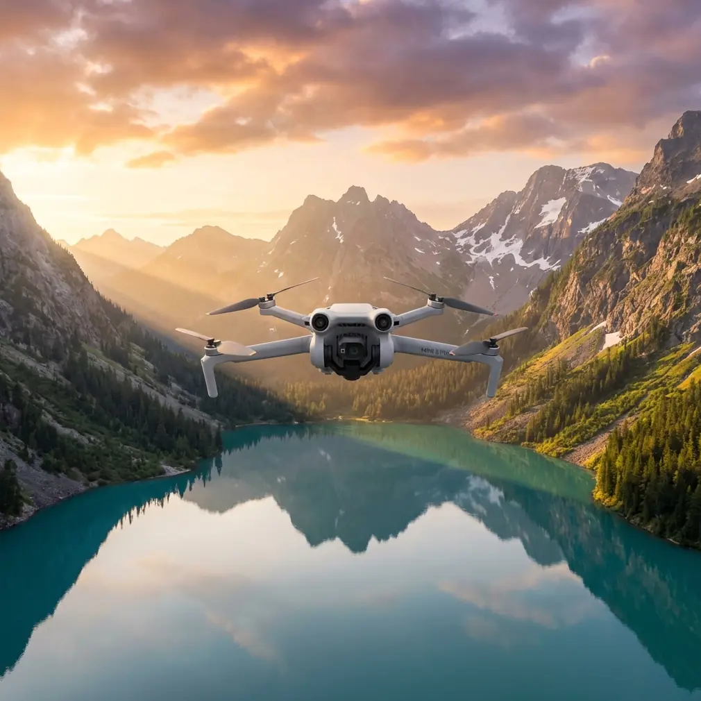
Mini 5 Pro Field Report: Smarter Urban Highway Capture Through a Mapping Lens
META: A field-tested look at how Mini 5 Pro can approach urban highway capture, using proven oblique-mapping workflow lessons from a 50 sq km survey project.
Urban highway filming looks simple until you try to do it properly.
Road corridors are narrow, reflective, cluttered, and full of interruptions: overpasses, sound barriers, gantries, lamp poles, ramps, side streets, construction fencing, and buildings pressing close to the right-of-way. If your goal is not just a pretty clip but repeatable, useful coverage, the real challenge is geometry and consistency. That is why one of the smartest ways to think about the Mini 5 Pro is not as a casual camera drone, but as a compact capture tool that benefits from techniques proven in oblique mapping.
I came to that conclusion after revisiting a technical modeling workflow built around a much larger survey platform. In that project, an iFly D6 multirotor paired with an iCamQ5 oblique camera flew 6 flight lines and captured roughly 600 images from different angles. The area was not a simple test patch. It covered 50 square kilometers split across urban and industrial zones, with 24 square kilometers of city and 26 square kilometers of industrial area. The report specifically notes that the building structures were complex and varied. That matters, because urban highways behave the same way: they are not one subject, but a chain of many changing spatial problems.
The Mini 5 Pro is obviously not a direct replacement for an iFly D6 carrying an oblique payload. It belongs in a different class. But the operational lesson transfers beautifully. If you want stronger highway results, especially in urban environments, stop thinking in terms of one heroic pass down the centerline. Think in structured capture layers. Competitors in the same compact category often promise cinematic automation first. The Mini 5 Pro, when used with discipline, has the potential to excel because it can support a more deliberate workflow: obstacle-aware pathing, subject-aware tracking where appropriate, and repeatable angle collection for reconstruction, review, and polished editing.
That shift in mindset changes everything.
What the 50 Square Kilometer Survey Teaches a Mini 5 Pro Pilot
The Chinese workflow document is full of clues that matter for highway capture. The survey team did not depend on a single visual perspective. They used multiple viewing angles, automated modeling, aerial triangulation, and then extracted vector data with attribute-ready export formats such as .cas. In plain English, they were not just gathering images. They were building usable spatial information.
For an urban highway operator using the Mini 5 Pro, that means your footage should be collected with downstream use in mind.
Maybe the end product is a progress report for civil stakeholders. Maybe it is a visual inspection package for corridor landscaping, signage visibility, or construction staging. Maybe it is marketing content for an infrastructure contractor. In every one of those civilian use cases, multi-angle consistency beats random cinematic improvisation.
The survey report also states a flight height of 100 meters in one data-collection step, with more than 600 images acquired. Height is not just a number; it is a reminder of tradeoffs. In urban highway work, altitude affects lane readability, overpass separation, traffic abstraction, and the amount of vertical clutter entering frame. A compact drone like the Mini 5 Pro gives you flexibility, but flexibility can create messy results if you constantly change height without a plan. Better to define a small set of repeatable altitudes and pair them with a small set of repeatable angles.
That is exactly where a modern compact platform can outperform less refined competitors. Plenty of drones can record a road. Fewer make it easy to repeat the same corridor at the same offsets, with stable framing, while navigating the obstacle complexity of a city edge.
The Highway Capture Problem Is Really an Angle Problem
One detail from the source stands out: 600 different-angle photos collected over 6 flight lines. That is not overkill. It is recognition that urban form hides itself.
A highway corridor disappears behind bridge decks. Noise barriers block side views. Interchanges create stacked geometry. Service roads and frontage roads can blend into the main corridor if the camera perspective is too shallow. If you only capture a road head-on or straight overhead, you miss the spatial relationship that gives the scene meaning.
For Mini 5 Pro work, this suggests a three-layer field method.
1. The structural pass
Fly a clean, stable route that defines the corridor. This is your map-like visual foundation. Keep speed controlled and maintain a disciplined altitude. If you are producing documentation, this pass matters more than flashy movement.
2. The oblique context pass
Borrowing from the oblique-survey mindset, shift the camera angle enough to reveal retaining walls, ramps, adjacent buildings, drainage edges, and barrier alignment. This is the pass that gives clients or viewers the “why” behind the road layout.
3. The selective detail pass
Use targeted clips for merge points, overpasses, sign structures, work zones, or landscaping transitions. This is where obstacle avoidance and careful path control become operationally significant, not just convenient.
Competitor drones often market tracking and automated modes as cinematic shortcuts. On highways, that framing can be misleading. The more useful question is whether those functions can help you maintain a safe, repeatable visual relationship to a corridor full of vertical interference. That is where the Mini 5 Pro’s obstacle avoidance and ActiveTrack-style subject handling become meaningful. Not because a highway is a “subject” in the traditional sense, but because road-adjacent movement and camera continuity require constant spatial correction.
Why Obstacle Avoidance Matters More in Urban Highways Than Open Landscape
This is one of those features people praise too casually.
In a suburban field, obstacle sensing is mostly insurance. Along an urban highway, it becomes part of the shot design. Light poles, sign gantries, pedestrian bridges, utility lines, trees near embankments, and ramp-side structures all interrupt smooth movement. If your drone handles these environments poorly, you compensate by flying wider, higher, and more conservatively. The result is safer, yes, but often less informative.
A better obstacle-avoidance system lets you preserve tighter visual relationships without turning every shot into a risk. That does not mean flying recklessly around traffic infrastructure. It means you can plan a pass that retains road scale and side-context instead of retreating so far that the corridor becomes generic.
This is one area where the Mini 5 Pro should be judged against rivals: not by whether it has obstacle sensing on the spec sheet, but by whether that sensing supports usable urban line work. In practical terms, a highway clip is often ruined by unnecessary lateral drift, premature braking, awkward path deviations, or timid stand-off distances that flatten the scene. If Mini 5 Pro manages these moments with more confidence, it will not just look smoother. It will preserve the road’s geometry.
That is the same principle behind the survey project’s multi-angle acquisition. Geometry is the story.
ActiveTrack, Subject Tracking, and the Highway Misconception
A lot of pilots hear “subject tracking” and think vehicles. That is too narrow.
For civilian highway capture, tracking tools are often most useful when they help maintain compositional discipline around a moving reference, such as a service convoy, inspection vehicle, maintenance operation, or a controlled lead car in a permitted production environment. Even then, the goal should not be dramatic pursuit footage. The goal is stable contextual storytelling: where the vehicle is in relation to the corridor, adjacent structures, lane geometry, and surrounding urban fabric.
Mini 5 Pro can stand out here if its tracking behavior remains predictable in clutter. That is a serious test. Urban corridors contain repeating patterns, shadows from overpasses, lane markings, and visual interruptions that can confuse weaker systems. A drone that holds framing better through these conditions saves battery, reduces pilot corrections, and increases the odds of getting footage that editors can actually use.
And when tracking is not the right choice, QuickShots and Hyperlapse still have a place. Not as gimmicks, but as controlled inserts. A short orbit around an interchange node can explain traffic design better than a long straight pass. A Hyperlapse from a fixed safe position can show flow changes, construction progress, or lighting transitions across the corridor. Used sparingly, these modes add context without replacing disciplined route capture.
D-Log Is Not Just for Colorists
Highway environments are brutal on dynamic range.
Sunlit concrete, dark underpasses, reflective vehicle roofs, deep shadows from sound barriers, and bright signage can all appear in one frame. If Mini 5 Pro offers D-Log or a similar flatter capture profile, that is not a luxury feature for hobbyists chasing a “cinematic look.” It is practical insurance for mixed-light infrastructure work.
When you are documenting urban roads, preserving detail in both bright pavement and shaded structural areas can matter. Editors working on stakeholder updates, construction reports, or public-facing visual summaries need files that survive correction. A flatter profile can retain more usable information when conditions are contrast-heavy, which highways often are.
This echoes another useful point from the reference workflow: the end value was not merely in the collection but in what could be extracted afterward. In that project, vector outputs could be exported in formats with or without attributes, and .cas allowed line and point features to carry attribute information. For Mini 5 Pro operators, the equivalent mindset is simple: capture material that remains useful after the flight. Good exposure latitude, stable geometry, and repeatable angles are what make footage valuable beyond social media.
A Better Field Routine for Mini 5 Pro Highway Work
If I were preparing the Mini 5 Pro for an urban highway assignment tomorrow, I would build the mission around the mapping logic from that 50 square kilometer project, scaled to a compact platform.
Start with corridor segmentation. Break the route into logical units: straightaways, ramps, interchanges, bridge approaches, underpass zones, and frontage interfaces. The source document’s area division between city and industrial sections is a reminder that different built environments require different capture expectations. A dense urban interchange should not be flown like an industrial access road.
Then standardize your angles. The survey team’s use of many images from different perspectives was not random. For Mini 5 Pro, I would define a top-down establishing angle, a moderate oblique for side context, and a lower compressed pass only where the airspace and surroundings allow safe, legal execution.
Next, think deliverables before takeoff. If your client needs comparison over time, repeatability matters more than creativity. If they need visual explanation, oblique structure reads better than overhead abstraction. If they need edits for public communication, reserve time for polished insert shots using QuickShots or Hyperlapse.
Finally, keep your export pipeline in mind. The source workflow flowed from image capture to automated modeling in DP-Smart, then fine modeling in DP-Modeler, then vector extraction and export to drafting software. You may not be producing .cas files from Mini 5 Pro footage, but the principle is the same: every shot should have a downstream purpose. Logging your route segments, naming clips by corridor section, and preserving consistent framing can turn a chaotic shoot into a usable archive.
If you are building a workflow for that kind of repeatable urban corridor capture, it helps to compare settings and mission planning notes with other operators; I usually suggest sharing route concepts through a direct planning thread like this Mini 5 Pro workflow chat.
Where Mini 5 Pro Could Truly Excel
What would make the Mini 5 Pro genuinely better than rival compact drones for urban highways?
Not one headline feature. The win would come from combination.
A compact airframe that is easy to deploy near complex civilian infrastructure. Reliable obstacle avoidance that supports closer, more descriptive corridor framing. Tracking that stays composed in clutter. Quick automated modes that are useful as supplements, not crutches. A D-Log option that keeps difficult road scenes gradable. And, above all, stable repeatability that lets one stretch of highway be documented in a structured way instead of captured as a collection of disconnected clips.
The reference survey project did something larger and more technical than most Mini 5 Pro owners will ever attempt. It covered 50 square kilometers, used 6 flight lines, captured around 600 angled images, and converted those inputs into detailed models and exportable vector outputs. But the lesson is remarkably relevant to a small drone pilot: complexity rewards system thinking.
Urban highways are not hard to film because they are fast. They are hard to film because they are spatially messy.
The Mini 5 Pro has the chance to shine when the pilot treats it less like a toy camera and more like a compact aerial instrument. That is how you get footage that reads clearly, edits cleanly, and remains useful long after the batteries are packed away.
Ready for your own Mini 5 Pro? Contact our team for expert consultation.